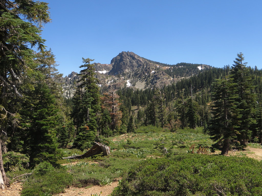
Union Flat
California
Free — you'll pick up right here.
No verdict for this campground
We won't guess. Here is exactly what we do and don't know.
What we do know
Inside Tahoe National Forest
2 managing-area boundaries mapped — agency alerts for them feed this page automatically.
Boundary data
What's missing
No access route mapped
We don't yet know which road reaches this trailhead, so we can't tell you if it's gated.
Nobody's filed a report here yet — be the first.
Here's your stay, mapped
Union Flat
Suggested plan · check conditions before you go
Gear for the day
Meals
Photos
About this campground
Union Flat Campground is located 6 miles east of Downieville on the North Yuba River along Hwy 49. It is surrounded by oak and maple trees. Hiking trails are nearby. This campground is the only place on the North Yuba River for recreational mining. An area downstream from the campground is available for recreational mining. Please click this link for an additional description of the casual mining area. -->
Directions & GPX
Add to a trip & share
Keep exploring — more campsites worth the drive
Berger
~12 min drive
A worthwhile stop near California.
 Photo: Ken Lund — CC BY-SA 2.0 (via Flickr)
Sardine Lake Campground
~13 min drive
Sardine Lake Campground is a campground in California at about 5,731 feet. It is managed by the U.S. Forest Service.
Lakes Basin
~14 min drive
A worthwhile stop near California.
First Divide
~6 min drive
First Divide is a campground in California with 15 sites.
Empire Creek
~7 min drive
A worthwhile stop near California.
Loganville Cg
~8 min drive
A worthwhile stop near California.
Packer Saddle
~10 min drive
Packer Saddle is a 15-site campground in California managed by the Forest Service.
Tamarack Lakes
~10 min drive
Tamarack Lakes is a campground in California with 20 sites.
Sierra Skies RV Park
~10 min drive
Sierra Skies RV Park is a campground in California at about 4,140 feet, with 28 sites.
Packsaddle
~11 min drive
A worthwhile stop near California.
Also worth it near here