Free — you'll pick up right here.
Watch this water
Sign up to watch it — saving subscribes you to gate, closure and report changes.
Wyoming
Twin Creek Trail
We don't cover this water yet
No agency boundary, access route or field report is mapped to it — so there is no verdict, and we won't guess. We'll tell you the moment this water has something to say.
Covered nearby
Waters within 25 miles where we do have a current picture.
Nobody's filed a report here yet — be the first.
Why you'll love it
Here's your day on the water, mapped
Twin Creek Trail
AI-suggested draft · review before you go
Gear for the day
Photos
Directions & GPX
About this water
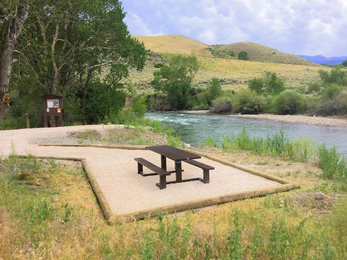
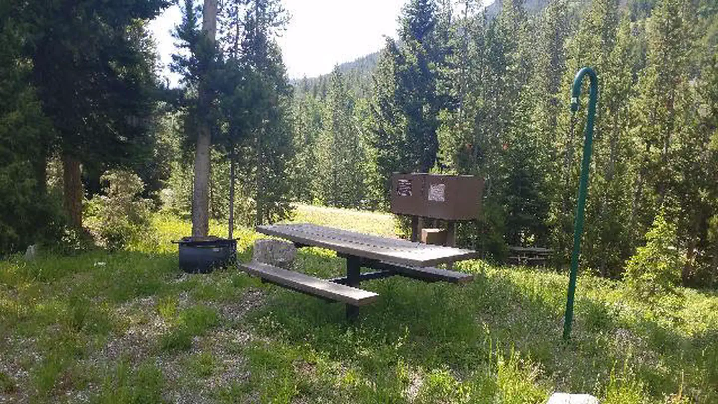
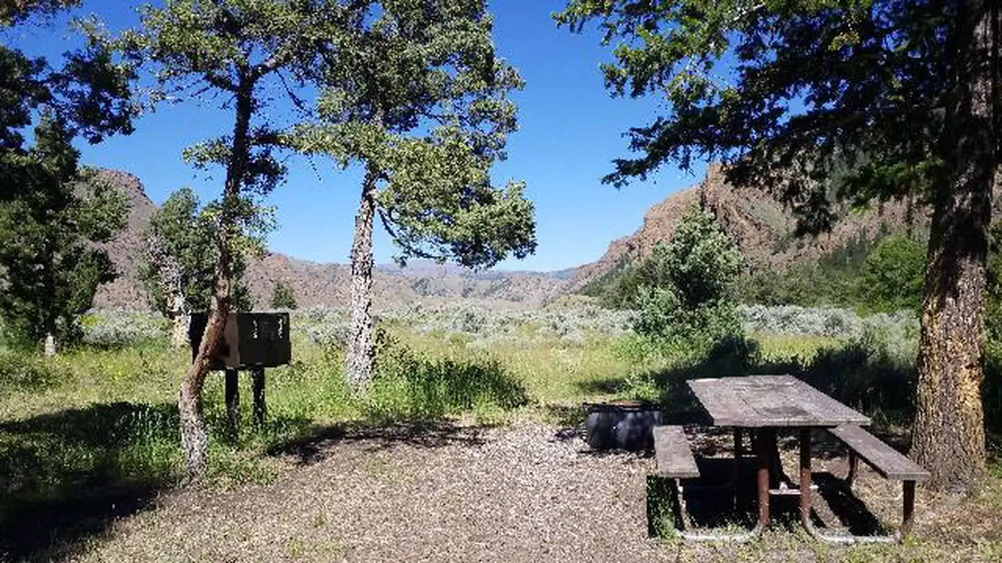
The Twin Creek Trailhead provides access to a horseback riding and hiking trail along the West Fork of Twin Creek to the Shoshone National Forest. The site also provides fishing access for the South Fork of the Shoshone River. The elevation at the trailhead is 5,840 feet and rises to 6,880 feet in approximately three miles to the forest boundary. The trailhead facilities include an information kiosk, horse trailer parking and toilet facilities. Deer, elk, antelope, moose, grizzly and black bear and mountain lion may be seen in the surrounding area. Twin creek trail is closed from January 1 - April 30 to protect wintering big game. This trail crosses the South Fork of the Shoshone River. Cross with caution during spring runoff as conditions may be dangerous. This is grizzly bear country, so be bear aware!
Add to a trip & share
Keep exploring — more waters worth the drive
Andy Martin
~15 min drive
A worthwhile stop near Wyoming.
Thomas Reservoir
~21 min drive
Thomas Reservoir is a 28-acre reservoir near Meeteetse, Wyoming, at about 8,470 feet.
Seven Mountain
~43 min drive
A worthwhile stop near Wyoming.
Lower Sunshine Reservoir
~45 min drive
Lower Sunshine Reservoir is a 972-acre reservoir near Meeteetse, Wyoming, at about 6,257 feet.
Castle Rock
~12 min drive
A worthwhile stop near Wyoming.
West Fork Sand Coulee Reservoir
~1h 4m drive
West Fork Sand Coulee Reservoir is a 15-acre reservoir near Powell, Wyoming, at about 4,511 feet. It is managed by the Bureau of Land Management.
Cody Canal
~17 min drive
A worthwhile stop near Wyoming.
Trail Lake
~1h 6m drive
Trail Lake is an 87-acre lake near Yellowstone National Park, Wyoming, at about 7,752 feet. It is managed by the National Park Service.
Wapiti Bridge
~18 min drive
A worthwhile stop near Wyoming.
Yellowstone Lake
~1h 7m drive
Yellowstone Lake is a 705-acre lake near Yellowstone National Park, Wyoming, at about 7,748 feet. It is managed by the National Park Service.
Also worth it near here


