
Shaws Fork Equestrian Campground
Campground
3.5 mi from the trail
Tims Knob is a summit of 3,562 feet in the North River Ranger District of the George Washington and Jefferson National Forest in Virginia, about 4.6 miles from the town of Deerfield. For timing, late spring and early fall are the most comfortable. Typical averages from a nearby weather station show May highs around 70°F and September highs around 73°F, with July the warmest month at about 80°F. That station sits roughly 1,200 feet lower, so temperatures on the knob run cooler. Several trails start close by. Benson Run is about a mile away, and the Shenanadoah Mountain Trail and Holloway Draft are each within about 2 miles. Shaws Fork Horse Camp, about 3.6 miles off, offers a place to camp.
Where it is: North River Ranger District · George Washington and Jefferson National Forest
Near: Staunton
Best months: September–October. Best months have typical highs of 55–85 °F, lows of 30 °F or warmer (32 °F where the station doesn't record snow), at most one snowy day and no more than 12 wet days.
Jan
39°
18°
13 wet
Feb
42°
20°
12 wet
Mar
51°
27°
13 wet
Apr
62°
35°
13 wet
May
70°
45°
16 wet
Jun
76°
53°
14 wet
Jul
80°
57°
13 wet
Aug
78°
56°
13 wet
Sep
73°
49°
10 wet
Oct
63°
37°
10 wet
Nov
52°
28°
11 wet
Dec
42°
22°
12 wet
Typical high / low (°F) and days with rain or snow, 1991–2020. Measured at Mustoe 1 Sw, VA, 14.6 mi away at 2,367 ft. The station sits about 1,200 ft lower than this place, so expect it a little cooler here. This station doesn't record snowfall. Source: NOAA NCEI U.S. Climate Normals 1991–2020.
Been here? Tell people how it was.
We don't know of a mapped trail or route to the summit of Tims Knob. Plan the approach with local maps, a guidebook or a local guide, and check conditions before you go.
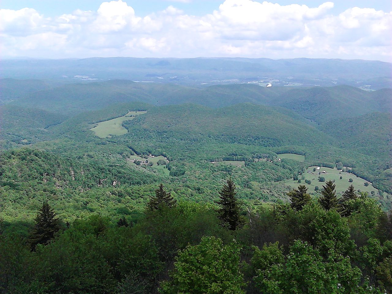
 Spruce KnobSummitPhoto: Original uploader was Black and White at en.wikipedia, CC BY-SA 3.0 (via Wikimedia Commons)~53 min drive
 Bald KnobSummitPhoto: User:Scochran4, CC BY-SA 3.0 (via Wikimedia Commons)~54 min drive
 Elliott KnobSummitPhoto: MONGO, CC BY-SA 3.0 (via Wikimedia Commons)~14 min drive
Daily highs and lows, wind and the chance of precipitation at the summit for the next 7 days, from the Open-Meteo model.
3,562 ft (1,086 m).
We don't know of a mapped trail or route to the summit. Plan the approach with local maps, a guidebook or a local guide.
Questions about Tims Knob: conditions, access, timing. Answers say when something isn't known.
Shaws Fork Equestrian Campground
Campground
White's Wayside
Restaurant
MTN. Mystic Studio and Gallery
Gallery
Places © OpenStreetMap contributors
More in Staunton