Thieves Cache Arch
At a glance
Thieves Cache Arch is a natural arch in Canyonlands National Park in Utah, managed by the National Park Service. It sits at about 4,760 feet, and the nearest town is La Sal Junction, roughly 29 miles away. Spring and fall are the most comfortable times to visit. Typical averages from a nearby weather station show May highs around 77°F and October highs around 70°F, while July averages about 95°F and January highs sit near 42°F. Several hikes start close by. Colorado/Green River Overlook is about 2 miles away, and Shot Canyon / Water Canyon and the Petes Mesa Ridge Route are each about 3 miles off. Climbers can head to The Needles District, roughly 6.6 miles away.
- elevation
- 4,761 ft
- managed by
- National Park Service
- best months
- Mar–May, Sep–Oct
Where it is: Canyonlands National Park
Near: Moab
Best time to visit Thieves Cache Arch
Best months: March–May and September–October. Best months have typical highs of 55–85 °F, lows of 30 °F or warmer (32 °F where the station doesn't record snow), at most one snowy day and no more than 12 wet days.
Jan
42°
17°
4 wet · 2 snow
Feb
49°
23°
4 wet · 1 snow
Mar
59°
30°
5 wet · 1 snow
Apr
67°
36°
5 wet
May
77°
46°
4 wet
Jun
89°
56°
3 wet
Jul
95°
63°
5 wet
Aug
92°
61°
6 wet
Sep
84°
51°
5 wet
Oct
70°
38°
5 wet
Nov
55°
26°
4 wet · 1 snow
Dec
42°
18°
4 wet · 2 snow
Typical high / low (°F) and days with rain or snow, 1991–2020. Measured at Canyonlands-The Needles, UT, 9.8 mi away at 4,906 ft. Source: NOAA NCEI U.S. Climate Normals 1991–2020.
Been here? Tell people how it was.
 Colorado/Green River OverlookHikingPhoto: Jason Hollinger, CC BY 2.0 (via Wikimedia Commons)2.1 mi
- Shot Canyon / Water CanyonHiking3.1 mi
- Petes Mesa Ridge RouteHiking3.1 mi
- Chimney Rock to Plug RouteHiking3.1 mi
- Pictograph Fork RouteHiking3.5 mi
 The Needles DistrictRock climbingPhoto: RuggyBearLA, CC BY 2.0 (via Wikimedia Commons)6.6 mi
 Monument BasinRock climbingPhoto: Peter K., CC BY-SA 3.0 (via Wikimedia Commons)7.4 mi
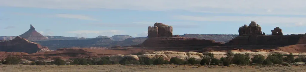 Canyonlands National Park Needles District CampgroundCampingPhoto: Recreation.gov (RIDB) / public domain9.7 mi
 Beehive ArchNatural archPhoto: CanyonlandsNPS, Public domain (via Wikimedia Commons)~6 min drive
 Druid ArchNatural archPhoto: J. Benjamin Wildeboer (talk · contribs), Ben W on flickr, CC BY-SA 2.0 (via Wikimedia Commons)~17 min drive
 Paul Bunyans PottyNatural archPhoto: CanyonlandsNPS, Public domain (via Wikimedia Commons)~21 min drive
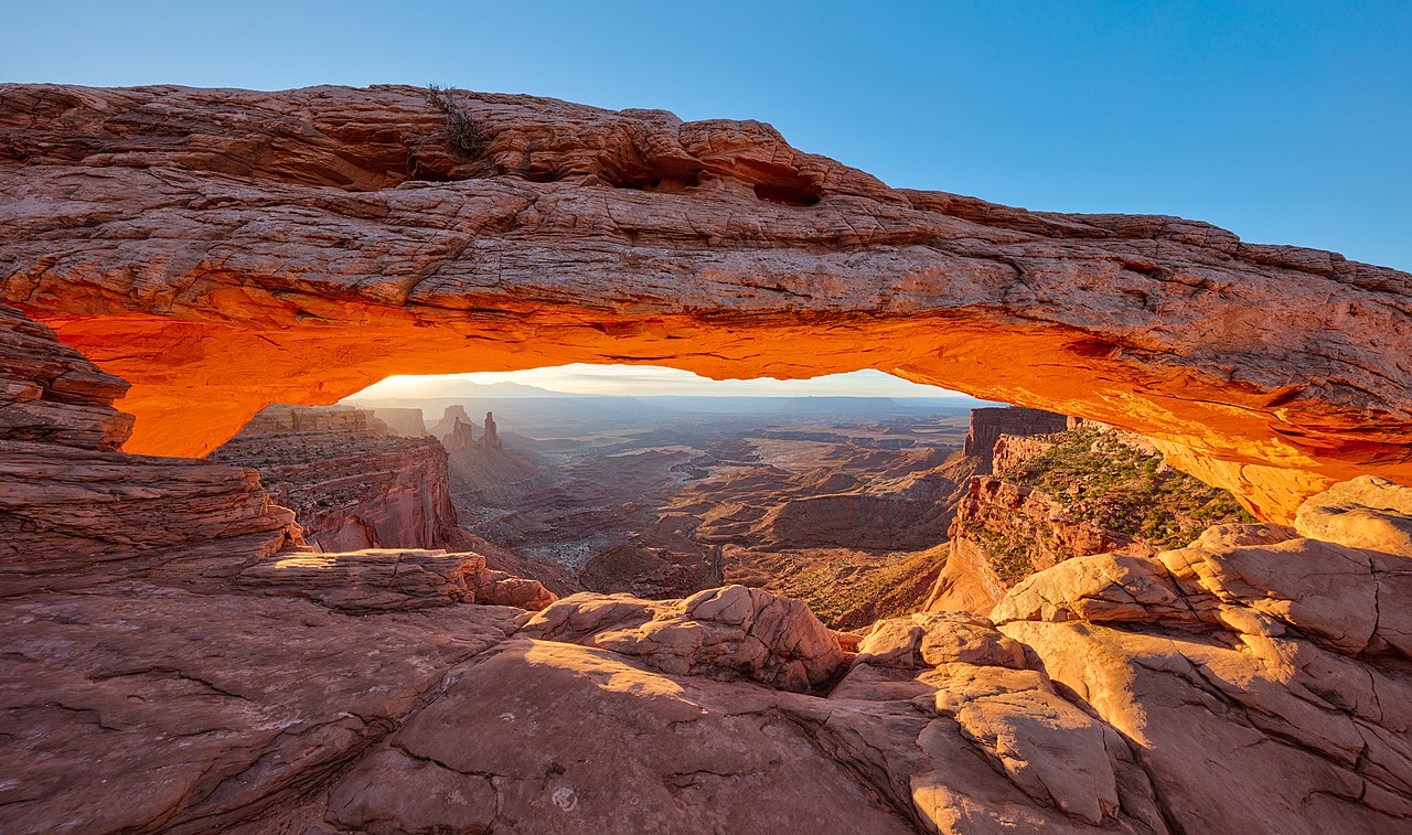 Mesa ArchNatural archPhoto: Thomas Wolf, www.foto-tw.de, CC BY-SA 3.0 (via Wikimedia Commons)~22 min drive
 Washer WomanNatural archPhoto: Kristina D.C. Hoeppner, CC BY-SA 2.5 (via Wikimedia Commons)~23 min drive
 Musselman ArchNatural archPhoto: Greg Willis from Denver, CO, usa, CC BY-SA 2.0 (via Wikimedia Commons)~30 min drive
- Muffin ArchNatural arch~9 min drive
- Tibbett ArchNatural arch~10 min drive
- Kissing CowsNatural arch~13 min drive
- Cave ArchNatural arch~13 min drive
Also worth it near here
- Colorado/Green River OverlookHikingPhoto: Jason Hollinger, CC BY 2.0 (via Wikimedia Commons)~4 min drive
 Ekker ButteSummitPhoto: Greg Willis from Denver, CO, usa, CC BY-SA 2.0 (via Wikimedia Commons)~10 min drive
- The Needles DistrictRock climbingPhoto: RuggyBearLA, CC BY 2.0 (via Wikimedia Commons)~11 min drive
- Lower JumpWaterfall~13 min drive
Conditions and forecast
Daily highs and lows, wind and the chance of precipitation at Thieves Cache Arch for the next 7 days, from the Open-Meteo model.
Ask about this place
Questions about Thieves Cache Arch: conditions, access, timing. Answers say when something isn't known.
