Teal Boat Ramp
At a glance
Teal Boat Ramp is a boat launch in the Pagosa Ranger District of the San Juan National Forest in Colorado, about 6 miles from the town of Piedra. It is a simple put-in with vault toilets, and no fees are required to use it. Summer is the most comfortable time to visit. Typical averages from a nearby weather station show July highs around 79°F with lows near 41°F, while winter highs stay in the mid-30s and lows drop to near zero. Teal Campground sits just 0.4 miles away, and Williams Creek Campground is about 1.4 miles off. Sweet Willie Boulder, a climbing area, is 0.9 miles away, and Williams Creek, a canoeing spot, is about 1.9 miles away.
- best months
- Jun–Jul, Sep
Where it is: Pagosa Ranger District · San Juan National Forest
Near: Pagosa Springs
Best time to visit Teal Boat Ramp
Best months: June–July and September. Best months have typical highs of 55–85 °F, lows of 30 °F or warmer (32 °F where the station doesn't record snow), at most one snowy day and no more than 12 wet days.
Jan
34°
-2°
4 wet
Feb
38°
1°
4 wet
Mar
45°
11°
5 wet
Apr
53°
20°
4 wet
May
62°
28°
4 wet
Jun
74°
34°
6 wet
Jul
79°
41°
12 wet
Aug
76°
40°
14 wet
Sep
70°
33°
9 wet
Oct
59°
23°
5 wet
Nov
47°
11°
4 wet
Dec
35°
0°
4 wet
Typical high / low (°F) and days with rain or snow, 1991–2020. Measured at Hermit 8 Se, CO, 17.7 mi away at 8,949 ft. The station sits about 600 ft higher than this place, so expect it a little warmer here. This station doesn't record snowfall. Source: NOAA NCEI U.S. Climate Normals 1991–2020.
Been here? Tell people how it was.
- Teal CampgroundCamping0.4 mi
- Sweet Willie BoulderRock climbing0.9 mi
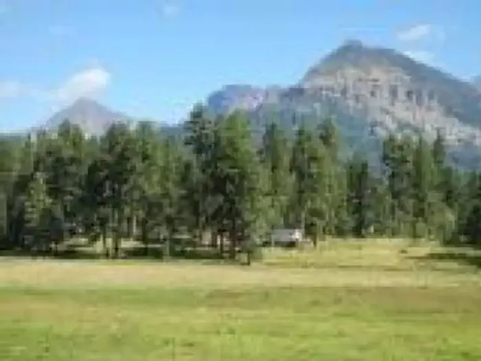 Williams Creek CampgroundCampingPhoto: Recreation.gov (RIDB) / public domain1.4 mi
- Williams CreekCanoeing1.9 mi
- Weminuche CreekCanoeing2.2 mi
- CimarronaHiking2.5 mi
- HossickHiking3.2 mi
- Piedra River - Upper West aka Never MindRock climbing6.1 mi
 West Fork San Juan RiverCanoeingPhoto: Jeffrey Beall, CC BY 4.0 (via Wikimedia Commons)~27 min drive
- Rio Grande Reservoir Boating SiteBoat launch~25 min drive
 San Juan RiverCanoeingPhoto: Kkaufman11 at English Wikipedia, Public domain (via Wikimedia Commons)~33 min drive
- Rito Hondo Reservoir Boating SiteBoat launch~45 min drive
 South Fork Rio GrandeCanoeingPhoto: Jeffrey Beall, CC BY 3.0 (via Wikimedia Commons)~41 min drive
- Beaver Creek Reservoir Boating SiteBoat launch~55 min drive
 East Fork San Juan RiverCanoeingPhoto: Dicklyon, CC BY-SA 4.0 (via Wikimedia Commons)~42 min drive
- Haviland Lake Boating SiteBoat launch~55 min drive
 Rio BlancoCanoeingPhoto: Dicklyon, CC BY-SA 4.0 (via Wikimedia Commons)~52 min drive
- Big Meadows Reservoir Boating SiteBoat launch~40 min drive
Conditions and forecast
Caution todayAgency alerts are in effect for this areaUSFS · checked 14 min agoDaily highs and lows, wind and the chance of precipitation at Teal Boat Ramp for the next 7 days, from the Open-Meteo model.

Ask about this place
Questions about Teal Boat Ramp: conditions, access, timing. Answers say when something isn't known.
