South Maricopa Mountains Wilderness Area
- Nov–Mar
- best months
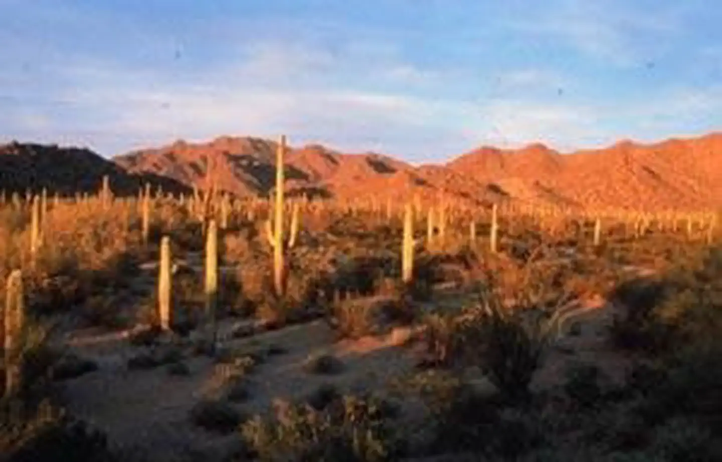
The 60,100-acre South Maricopa Mountains Wilderness is located in southwestern Maricopa County, Arizona. It is 16 miles east of Gila Bend and 30 miles southwest of Phoenix. It is within the Sonoran Desert National Monument. The monument offers many opportunities to explore and discover the secrets of the Sonoran Desert and includes three wilderness areas: the North Maricopa Mountains Wilderness, the South Maricopa Mountains Wilderness, and the Table Top Wilderness. This wilderness includes 13 miles of the Maricopa Mountain range, a low elevation Sonoran Desert range, and extensive desert plains. The eastern part of the wilderness has an isolated and screened mountainous interior, formed by long ridges and isolated peaks, separated by plains and washes. The western part is dominated by desert flats fronting the east-west trending Maricopa Mountains ridgeline.This area's large size, varied landforms, and wildness provide outstanding opportunities for solitude and primitive recreation. Hiking, backpacking, horseback riding, camping, wildlife observation and photography are some activities both experienced and family-oriented outdoor enthusiasts can enjoy. Desert bighorn sheep, desert tortoise, coyotes, bobcat, fox, deer, Gambel's quail, and various raptors live in the wilderness. Plant species include saguaro, cholla, ocotillo, palo verde, and mesquite.Know Before You GoIn wilderness, you can enjoy challenging recreational activities and extraordinary opportunities for solitude. Please follow the regulations in place for this area. Use Leave No Trace techniques when visiting to ensure protection of its unique natural and experiential qualities.Motorized equipment and equipment used for mechanical transport are generally prohibited on all federal lands designated as wilderness. This includes the use of motor vehicles (including OHVs), motorboats, bicycles, hang gliders, wagons, carts, portage wheels, and the landing of aircraft including helicopters. Contact the agency for more information about regulations.
Local outfitters
- McIntyre Resort36 mi away
Not on Roamze yet. Their page has how to reach them.
Source: Roamze catalog (indexable pages within 10 miles, PostGIS distance)
- South inner pondLake fishing · ~41 min drive
- Lake Saint ClairLake fishing · ~57 min drive
- Firebird LakeLake fishing · ~59 min drive
- Painted Rock ReservoirLake fishing · ~1h 3m drive
- Borrow Pit ReservoirLake fishing · ~1h 5m drive
- Encanto LagoonLake fishing · ~1h 12m drive
- Najahli BayLake fishing · ~1h 14m drive
- Tempe Town LakeLake fishing · ~1h 16m drive
- McKellips LakeLake fishing · ~1h 19m drive
- Granada LakeLake fishing · ~1h 20m drive
Also worth it near here
 Isanaklesh PeaksSummit · ~12 min drivePhoto: Unknown authorUnknown author, Public domain (via Wikimedia Commons)
 Gila RiverCanoeing · ~20 min drivePhoto: benmacaskill, CC BY 2.0 (via Wikimedia Commons)
- Sonoran Desert RV ParkCamping · ~28 min drive
 Skylark TrailHiking · ~44 min drivePhoto: A Guy Named Nyal, CC BY-SA 2.0 (via Flickr)
Best time to visit South Maricopa Mountains Wilderness Area
Best months: November–March. Best months have typical highs of 55–85 °F, lows of 30 °F or warmer (32 °F where the station doesn't record snow), at most one snowy day and no more than 12 wet days.
Jan
71° / 41°
3 wet
Feb
75° / 44°
3 wet
Mar
82° / 49°
3 wet
Apr
90° / 55°
1 wet
May
98° / 63°
0 wet
Jun
107° / 72°
0 wet
Jul
109° / 81°
2 wet
Aug
109° / 81°
4 wet
Sep
104° / 74°
2 wet
Oct
93° / 60°
1 wet
Nov
80° / 48°
2 wet
Dec
70° / 40°
2 wet
Typical high / low (°F) and days with rain or snow, 1991–2020. Measured at Gila Bend 2se, AZ, 16.5 mi away at 794 ft. The station sits about 1,300 ft lower than this place, so expect it a little cooler here. Source: NOAA NCEI U.S. Climate Normals 1991–2020.