

Peak Mountain Guides
Hiking business nearby (~15 mi away) — hasn't claimed their Roamze page yet
Telluride, Colorado
Free — you'll pick up right here.
5.2 mi
Distance
1,705 ft
Gain
2h 5m
Time
An agency closure order is in effect for this area; weather is good
2 factors · 2 sources
Newest 13 h ago · oldest 13 h
problem: Agency alerts
36 active alerts in Grand Mesa, Uncompahgre and Gunnison National Forests; most severe: Gold Mountain Wildfire Roads and Trails Closure Order v 4.0
USFSPosted Sep 15 · checked 13 h ago
clear: Weather
Clouds, high 52°F / low 52°F, 0% precip — 98/100 for hike
OpenWeather13 h ago
Been out here in the last few days? One report keeps this current for everyone.
Why you'll love it
River Trail
Suggested plan · check conditions before you go
No permit or access details on file for this trail — check with the local land manager before you go.
River Trail is a 10.46-mile out-and-back trail in Colorado with 1,705 feet of elevation gain and loss. The trail reaches a maximum elevation of 7,998 feet.
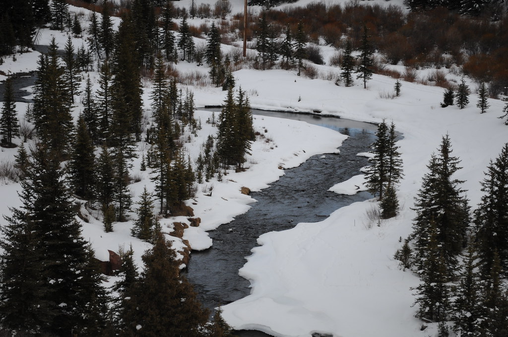 Photo: Chiara Coetzee, Public Domain Dedication (CC0) (via Flickr)
Aldasoro Trail
~4 min drive
1.72-mile out-and-back trail in Colorado with 792 ft elevation gain
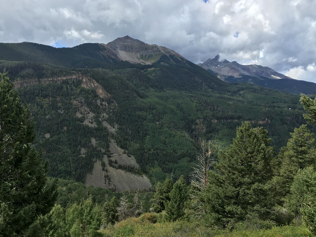 Photo: cogdogblog, CC BY 2.0 (via Flickr)
Magic Meadows
~8 min drive
14.77-mile out-and-back trail in Colorado reaching 10,765 ft.
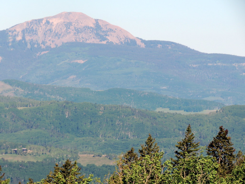 Photo: dougandme, CC BY 2.0 (via Flickr)
Magic Meadows Loop
~8 min drive
0.86-mile out-and-back trail in Colorado with 92 ft of elevation gain.
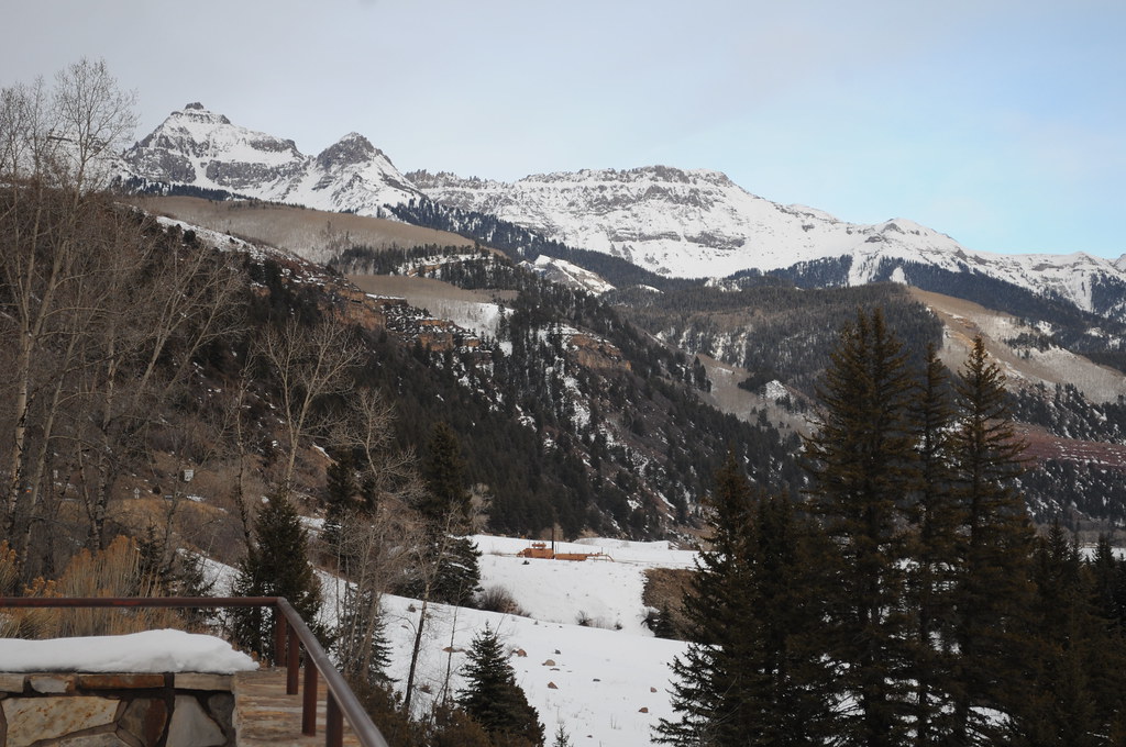 Photo: Chiara Coetzee, Public Domain Dedication (CC0) (via Flickr)
Penelope's Trail
~3 min drive
4.06-mile out-and-back hike in Colorado with 1,148 ft gain and 9,563 ft max elevation.
La Junta Peak
~10 min drive
Route to the summit of La Junta Peak (13,445 ft) from Imogene Pass Road Trailhead (Westernmost).
Photo: Chiara Coetzee, Public Domain Dedication (CC0) (via Flickr)Remine Creek
~4 min drive
1.28-mile out-and-back trail in Colorado with 329 ft gain/loss.
 Photo: Sale Family Memories, CC BY 2.0 (via Flickr)
Rudy's Trail
~7 min drive
4.08-mile out-and-back hike in Colorado with 2,892 ft elevation gain and loss.
Magic Meadows Connector
~8 min drive
1.48-mile out-and-back trail in Colorado with 229 ft elevation gain.
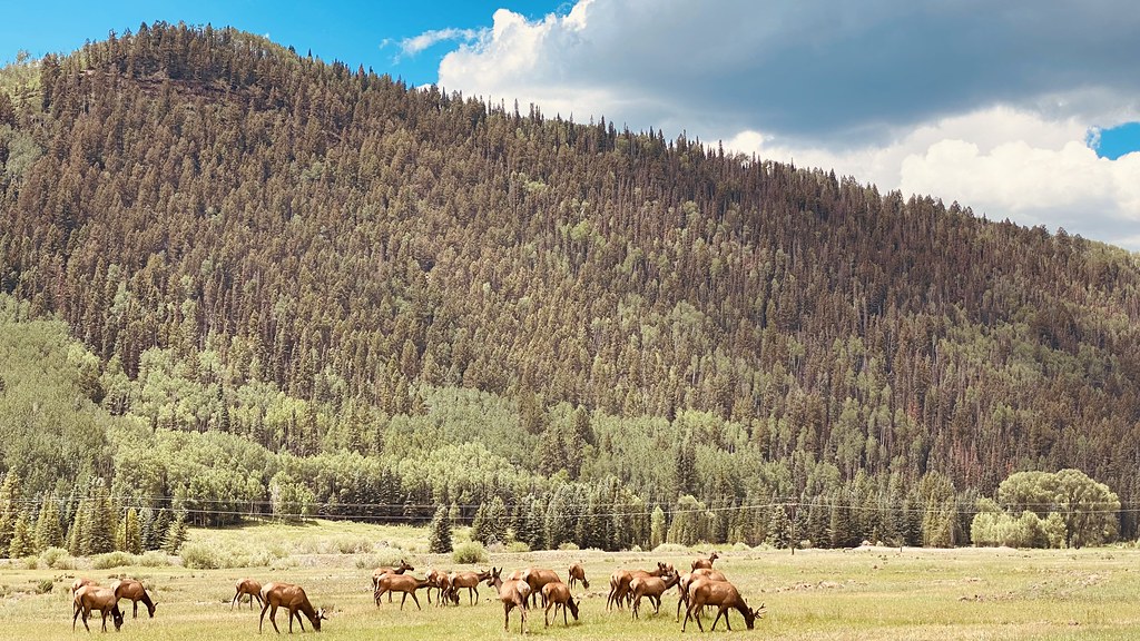 Photo: lamblukas, CC BY 2.0 (via Flickr)
Eider Trail
~7 min drive
3.28-mile out-and-back hike in Colorado with 1,106 ft elevation gain
 Photo: Moo.The.Cow, CC BY 2.0 (via Flickr)
Skunk Creek
~7 min drive
1.48-mile out-and-back trail in Colorado with 513 ft gain and 10,317 ft max elevation.
Map and trail data © OpenStreetMap contributors
Local operators near Tellurideoffering guided trips. You book directly with them — Roamze doesn’t take a cut.
Peak Mountain Guides
Hiking business nearby (~15 mi away) — hasn't claimed their Roamze page yet
Grizzly RT RV Park
Hiking business nearby (~28 mi away) — hasn't claimed their Roamze page yet
Cedar Creek RV Park and Lodging
Hiking business nearby (~37 mi away) — hasn't claimed their Roamze page yet
