Religious Freedom Byway
At a glance
The Religious Freedom Byway is a 99-mile scenic drive in Maryland, stretching from Port Tobacco Village through Rock Point and Cobb Island to Leonardtown and Callaway. It is a route rather than a single trail, and it passes through several small communities along the way. Spring and fall are the most comfortable times to drive it. Typical averages from a nearby weather station show May highs around 75°F and October highs around 69°F, while July averages climb to about 88°F. The drive is also a base for short outings. Newport Run, a canoeing spot, and the Bell Lap Trail, a mountain biking route, both sit about a tenth of a mile from the route. The Saint Mary's City Nature Trail is about half a mile away, and the Wicomico River offers more paddling within a short distance.
- distance
- 98.7 mi
- best months
- Mar–Jun, Sep–Nov
Near: La Plata
Best time to visit Religious Freedom Byway
Best months: March–June and September–November. Best months have typical highs of 55–85 °F, lows of 30 °F or warmer (32 °F where the station doesn't record snow), at most one snowy day and no more than 12 wet days.
Jan
45°
28°
10 wet
Feb
48°
30°
9 wet
Mar
56°
37°
11 wet
Apr
68°
47°
11 wet
May
75°
57°
12 wet
Jun
84°
66°
11 wet
Jul
88°
71°
10 wet
Aug
86°
69°
9 wet
Sep
80°
62°
9 wet
Oct
69°
50°
9 wet
Nov
58°
39°
9 wet
Dec
49°
32°
10 wet
Typical high / low (°F) and days with rain or snow, 1991–2020. Measured at Quantico Mcas, VA, 15.1 mi away at 10 ft. We don't have this place's elevation, so higher spots nearby can run cooler. This station doesn't record snowfall. Source: NOAA NCEI U.S. Climate Normals 1991–2020.
Been here? Tell people how it was.
- Newport RunCanoeing0.1 mi
- Bell Lap TrailMountain biking0.1 mi
- Unused trailHiking0.1 mi
- unamed "old trail"Hiking0.3 mi
- Old Yellow trailMountain biking0.4 mi
- Wicomico RiverCanoeing0.5 mi
 Saint Mary's City Nature TrailHikingPhoto: SridharSaraf, CC BY-SA 2.0 (via Flickr)0.6 mi
- White TrailMountain biking0.8 mi
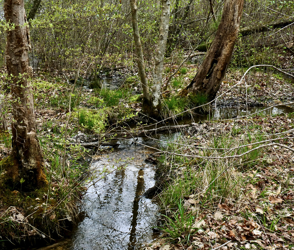 Green TrailHikingPhoto: krossbow, CC BY 2.0 (via Flickr)0.8 mi
- Eagle Way PathHikingPhoto: SridharSaraf, CC BY-SA 2.0 (via Flickr)1 mi
Conditions and forecast
Daily highs and lows, wind and the chance of precipitation at Religious Freedom Byway for the next 7 days, from the Open-Meteo model.

Ask about this place
Questions about Religious Freedom Byway: conditions, access, timing. Answers say when something isn't known.
