Ozark Trail - Trace Creek
Missouri
Free — you'll pick up right here.
25.5 mi
Distance
2,862 ft
Gain
Conditions: Clear
for hike, todayWeather is good
1 factor · 1 source
Observed 17 h ago
clear: Weather
Clear, high 86°F / low 54°F, 0% precip — 92/100 for hike
OpenWeather17 h ago
Been out here in the last few days? One report keeps this current for everyone.
Why you'll love it
Here's your day, mapped
Ozark Trail - Trace Creek
Suggested plan · check conditions before you go
Meals
Gear for the day
Elevation & route
- Distance
- 25.5 mi
- Elevation gain
- 2,862 ft
Photos
Directions & GPX
Permits & access
- Managing agency
- Forest Service
About this trail
Ozark Trail - Trace Creek is a 25.52-mile point-to-point trail in Missouri with 2,862 feet of elevation gain. It is managed by the Forest Service.
Facts about this trail
The climb
- Total climbing
- 2,862 ft
- Length
- 26 mi
- Shape
- Point to point
Source: Roamze elevation profile and trail geometry (DEM samples along the mapped route)
Where it is
- Potosi / Fredericktown Ranger District · Ranger district
- Mark Twain National Forest · National forest
Source: USFS EDW boundaries
Conditions
Active alerts for Mark Twain National Forest as of Oct 9, 2026:
Forest Order - Trail 119 Closure Extended (Chadwick Motorized Trail System)
caution · posted Oct 2, 2026
Tabor Fire - Ridge Runner Trail Segment Closure
fire-restriction · posted Sep 21, 2026
Forest Order 09-05-00-26-04 All Caves are closed to visitors due to White Nose Syndrome
information · posted Sep 4, 2026
Forest Order 09-05-12-09 Eleven Point Wild and Scenic River Zone
information · posted Aug 24, 2026
Forest Order 09-05-12-07: Wilderness
information · posted Aug 24, 2026
Forest Order 09-05-12-08: Greer Springs Trail
information · posted Aug 24, 2026
Forest Order 09-05-12-06: The Gulf
information · posted Aug 24, 2026
Forest Order 09-05-12-04 Tree Stands Forest-wide
information · posted Aug 24, 2026
Forest Order 09-05-12-03: Non-Administrative, non-recreation buildings
information · posted Aug 24, 2026
Remember the 3 R's if you come across unknown objects on the Forest
caution · posted Aug 24, 2026
Source: USFS forest alerts
Nearby
- Hazel CreekCamping0.1 mi
- Courtois CreekCanoeing4.5 mi
- BerrymanCamping6.7 mi
- Red BluffCamping8.6 mi
- Huzzah CreekCanoeing8.6 mi
- Council Bluff TrailHiking9 mi
- Wild Boar West Connector TrailHiking9.1 mi
- Council Bluff Connnector TrailHiking9.3 mi
Source: Roamze catalog (indexable pages within 10 miles, PostGIS distance)
Add to a trip & share
Keep exploring — more trails worth the drive
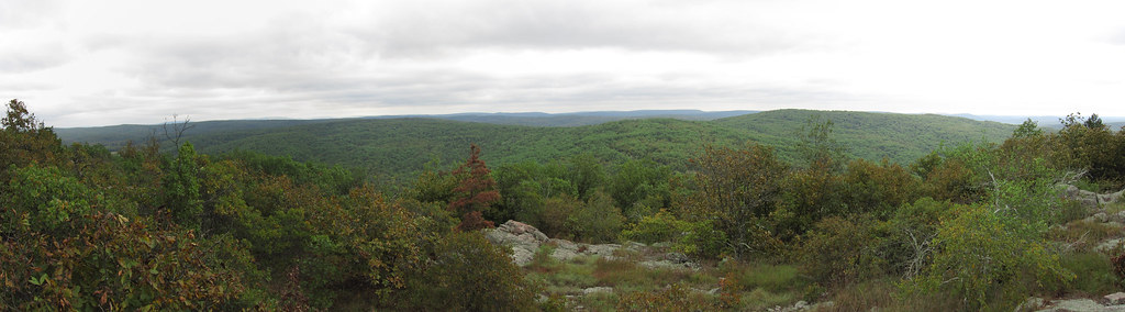 Photo: cm195902, CC BY 2.0 (via Flickr)
Bell Mountain
~27 min drive
An 8.40-mile out-and-back trail in Missouri.
 Photo: cm195902, CC BY 2.0 (via Flickr)
Ozark Trail - Taum Sauk
~27 min drive
6.44-mile out-and-back trail in Missouri with 672 ft gain.
 Photo: Kbh3rd, CC BY-SA 3.0 (via Wikimedia Commons)
Goggins Mountain Equestrian Trail
~34 min drive
8.96-mile out-and-back equestrian trail in Missouri with 1,276 ft gain
 Photo: CC BY-SA 3.0 (via Wikimedia Commons)
Campground Trail System
~36 min drive
2.49-mile out-and-back trail in Missouri with 408 ft elevation gain.
Brushy Creek - Blue 1
~30 min drive
A 7.79-mile hard out-and-back trail in Missouri with 779 ft elevation gain.
Photo: cm195902, CC BY 2.0 (via Flickr)Bell Mountain Connector
~28 min drive
2.12-mile out-and-back trail in Missouri with 162 ft of elevation gain.
Council Bluff Trail
~15 min drive
A 3.93-mile out-and-back trail in Missouri connected to the Ozark Trail system.
Photo: CC BY-SA 3.0 (via Wikimedia Commons)Scour Trail
~37 min drive
1.81-mile out-and-back trail in Missouri with 473 ft elevation gain.
Ozark Trail Wappapello Section - Illinois
~33 min drive
Challenging 119-mile point-to-point Ozark Trail section through Missouri wilderness.
Council Bluff Trail
~15 min drive
11.86-mile loop trail in Missouri with 415 ft elevation gain.
