Sleeping Bear Point Trail
 Photo: Matt Callow, CC BY-SA 2.0 (via Wikimedia Commons)
At a glance
Sleeping Bear Point Trail is a 2.1-mile loop in the Sleeping Bear Dunes National Lakeshore, within the Sleeping Bear Dunes Wilderness in Michigan. The National Park Service manages the land, and the trail is rated easy. The route starts at about 622 feet, peaks at 800 feet and returns to about 586 feet. The steepest stretch comes around mile 1.2, with a grade of about 11%, and the total climb over the loop is 268 feet with a total loss of 383 feet. Summer is the most comfortable time to visit. Typical averages from a nearby weather station at a similar elevation show July highs around 80°F and lows near 57°F, with August close behind. Winters are cold, with January highs near 29°F and lows around 16°F. The trail is about 1.3 miles from D.H. Day Group Campground and 1.4 miles from D.H. Day Campground. Dune Trail is 1.6 miles away, and Alligator Hill Trail - Stocking Drive Trailhead is 1.7 miles away.
- one way
- 2.1 mi
- climb
- 268 ft
- high point
- 800 ft
- route
- Point to point
- time
- About 1 hour
- best months
- May–Sep
Where it is: Sleeping Bear Dunes Wilderness · Sleeping Bear Dunes National Lakeshore
Near: Glen Arbor
Best time to visit Sleeping Bear Point Trail
Best months: May–September. Best months have typical highs of 55–85 °F, lows of 30 °F or warmer (32 °F where the station doesn't record snow), at most one snowy day and no more than 12 wet days.
Jan
29°
16°
18 wet
Feb
31°
16°
13 wet
Mar
41°
22°
11 wet
Apr
53°
31°
10 wet
May
67°
42°
11 wet
Jun
76°
52°
9 wet
Jul
80°
57°
8 wet
Aug
78°
57°
8 wet
Sep
71°
50°
10 wet
Oct
58°
40°
13 wet
Nov
45°
30°
15 wet
Dec
34°
22°
16 wet
Typical high / low (°F) and days with rain or snow, 1991–2020. Measured at Maple City 1e, MI, 10.8 mi away at 799 ft. This station doesn't record snowfall. Source: NOAA NCEI U.S. Climate Normals 1991–2020.
Been here? Tell people how it was.
 D.H. Day Group CampgroundCampingPhoto: Recreation.gov (RIDB) / public domain1.3 mi
 D.H. Day CampgroundCampingPhoto: Recreation.gov (RIDB) / public domain1.4 mi
- Dune TrailHikingPhoto: Matt Callow, CC BY-SA 2.0 (via Wikimedia Commons)1.6 mi
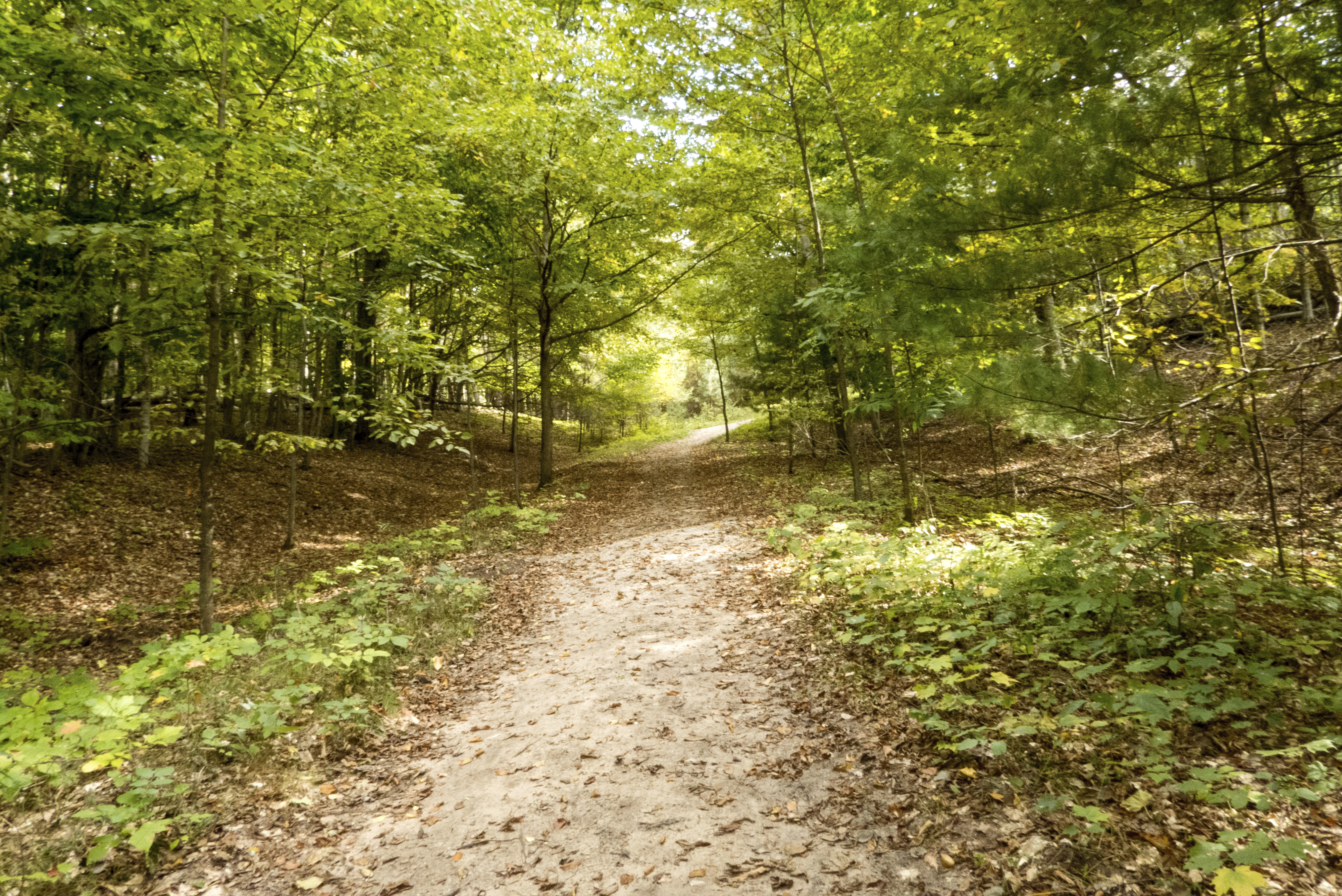 Alligator Hill Trail - Stocking Drive TrailheadHikingPhoto: NPS credit1.7 mi
 Cottonwood TrailHikingPhoto: mindfrieze, CC BY-SA 2.0 (via Flickr)2.6 mi
 Windy Moraine TrailHikingPhoto: clembore, CC BY-SA 2.0 (via Flickr)3.9 mi
- Bay View TrailHiking4 mi
 South Manitou Group CampgroundCampingPhoto: Recreation.gov (RIDB) / public domain7.5 mi
- Dune TrailHikingPhoto: Matt Callow, CC BY-SA 2.0 (via Wikimedia Commons)~3 min drive
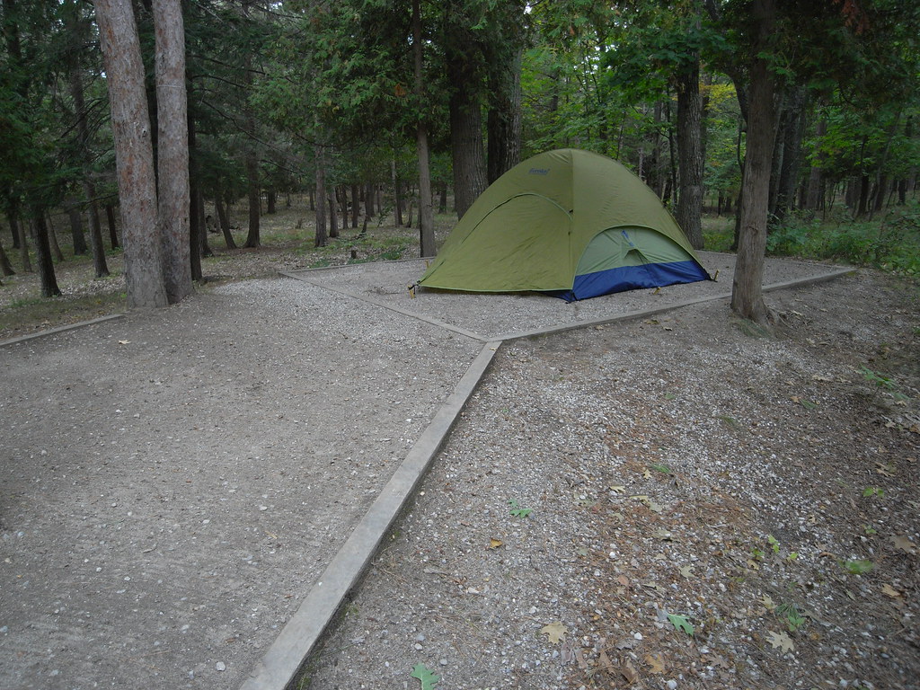 Alligator Hill Trail West LoopHikingPhoto: Seth Tisue, CC BY-SA 2.0 (via Flickr)~4 min drive
- Manistee River TrailHiking~1h 16m drive
- Alligator Hill Trail - Stocking Drive TrailheadHiking~3 min drive
 Alligator Hill Trail East LoopHikingPhoto: Jim Sorbie, CC BY 2.0 (via Flickr)~4 min drive
- Mackenzie Mountain BikeHiking~1h 22m drive
- Cottonwood TrailHikingPhoto: mindfrieze, CC BY-SA 2.0 (via Flickr)~5 min drive
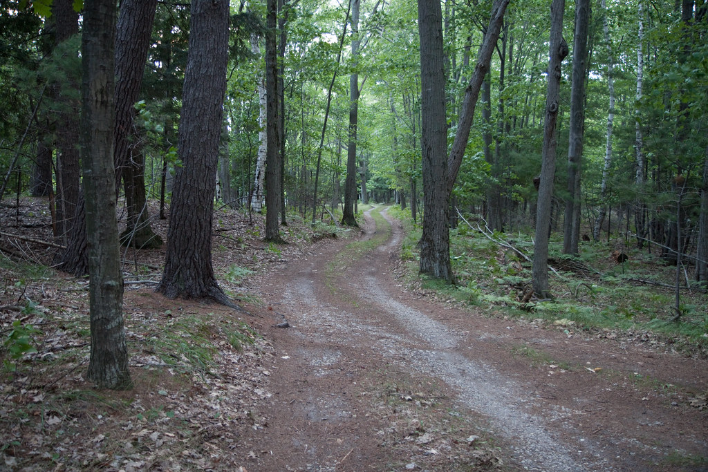 Lasso Loop (Platte Plains)HikingPhoto: tompagenet, CC BY-SA 2.0 (via Flickr)~23 min drive
- Windy Moraine TrailHikingPhoto: clembore, CC BY-SA 2.0 (via Flickr)~7 min drive
- Bay View TrailHiking~7 min drive
Conditions and forecast
Daily highs and lows, wind and the chance of precipitation at Start for the next 7 days, from the Open-Meteo model.

Ask about this place
Questions about Sleeping Bear Point Trail: conditions, access, timing. Answers say when something isn't known.
Map and trail data © OpenStreetMap contributors
