Herring River Overlook Conservation Land and Trail
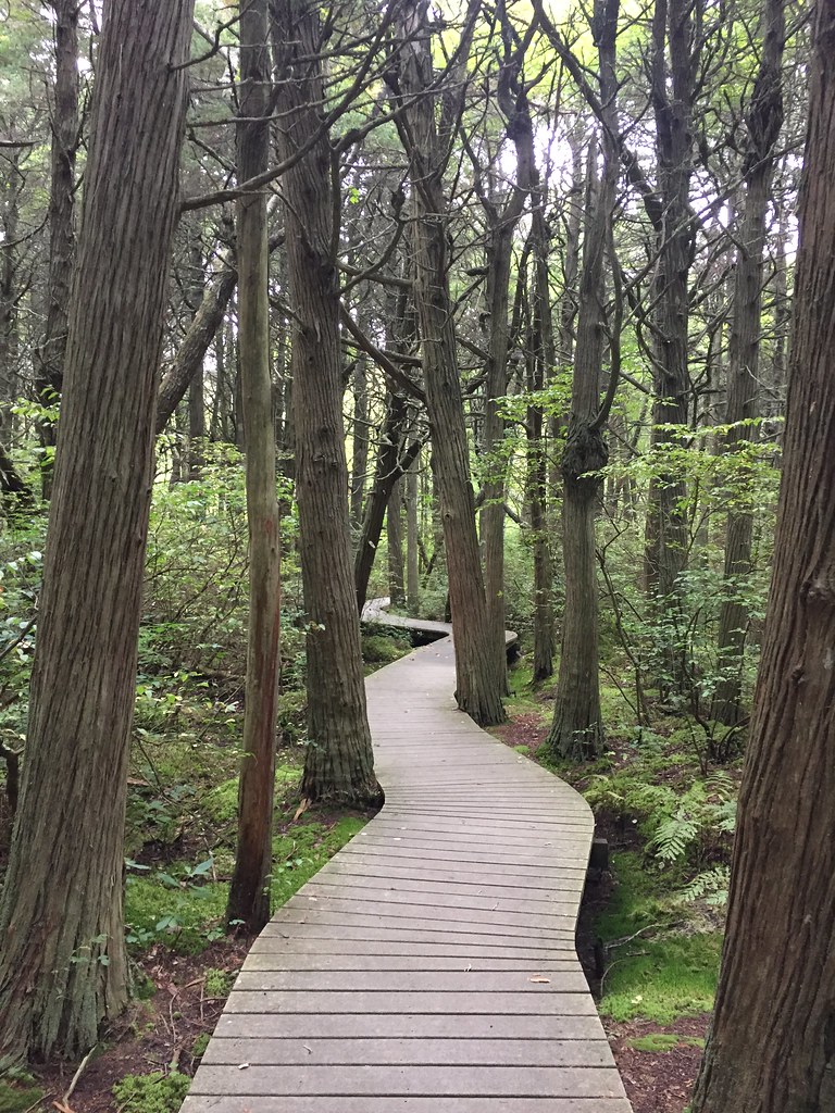
 Photo: niklas.tenhaef1, CC BY-SA 2.0 (via Flickr)
At a glance
Herring River Overlook Conservation Land and Trail is a short, easy hike in Massachusetts, about 0.67 miles long and rated easy. It starts at a low point of about 58 feet and reaches a high of about 63 feet, with a total elevation gain of 62 feet. The route is a point-to-point path, and the steepest stretch comes at about 0.45 miles in, with a grade of about 7 percent. The nearest town is Mayo Beach, about 1.1 miles away. Dogs are allowed on a leash, and bikes are not. Summer is the most comfortable time to go. Typical averages from a nearby weather station in Chatham show July highs around 79°F with lows near 64°F, while winter highs stay in the upper 30s. The Great Island Trail lies about half a mile away. Bay View House campground is about 2.2 miles off, and the Atlantic White Cedar Swamp Trail and Le Count Beach House are both about 4.3 miles away.
- one way
- 0.7 mi
- climb
- 62 ft
- high point
- 63 ft
- route
- Point to point
- time
- About 15 minutes
- best months
- Jun–Aug
Near: Barnstable Town
Best time to visit Herring River Overlook Conservation Land and Trail
Best months: June–August. Best months have typical highs of 55–85 °F, lows of 30 °F or warmer (32 °F where the station doesn't record snow), at most one snowy day and no more than 12 wet days.
Jan
39°
26°
14 wet
Feb
40°
26°
12 wet
Mar
44°
31°
13 wet
Apr
52°
39°
13 wet
May
62°
48°
13 wet
Jun
71°
57°
12 wet
Jul
79°
64°
11 wet
Aug
78°
64°
12 wet
Sep
71°
58°
13 wet
Oct
61°
47°
14 wet
Nov
52°
39°
13 wet
Dec
44°
31°
14 wet
Typical high / low (°F) and days with rain or snow, 1991–2020. Measured at Chatham Muni Ap, MA, 17 mi away at 68 ft. This station doesn't record snowfall. Source: NOAA NCEI U.S. Climate Normals 1991–2020.
Been here? Tell people how it was.
 Great Island TrailHikingPhoto: NPS Photo0.5 mi
- Bay View HouseCamping2.2 mi
 Atlantic White Cedar Swamp TrailHikingPhoto: btwashburn, CC BY 2.0 (via Flickr)4.3 mi
- Le Count Beach HouseCamping4.3 mi
- Ocean View HouseCamping4.4 mi
- Sunrise HouseCamping4.4 mi
- Favorite Audubon TrailHiking4.7 mi
- Bay View TrailHiking4.7 mi
- Great Island TrailHikingNext door
 Cliff Pond TrailHikingPhoto: clembore, CC BY-SA 2.0 (via Flickr)~20 min drive
- Province Lands Bike TrailHiking~21 min drive
 Great Island TrailHikingPhoto: niklas.tenhaef1, CC BY-SA 2.0 (via Flickr)~1 min drive
- Little Cliff Pond TrailHikingPhoto: clembore, CC BY-SA 2.0 (via Flickr)~21 min drive
- Atlantic White Cedar Swamp TrailHikingPhoto: btwashburn, CC BY 2.0 (via Flickr)~7 min drive
 ORV Beach TrailHikingPhoto: clembore, CC BY-SA 2.0 (via Flickr)~36 min drive
- Atlantic White Cedar Swamp TrailHiking~8 min drive
 Craddock TrailHikingPhoto: Magicpiano, CC BY-SA 4.0 (via Wikimedia Commons)~42 min drive
 Pamet Cranberry Bog TrailHikingPhoto: terryballard, CC BY 2.0 (via Flickr)~9 min drive
Conditions and forecast
Daily highs and lows, wind and the chance of precipitation at Start for the next 7 days, from the Open-Meteo model.
Ask about this place
Questions about Herring River Overlook Conservation Land and Trail: conditions, access, timing. Answers say when something isn't known.
Map and trail data © OpenStreetMap contributors
