5K Trail
At a glance
The 5K Trail is a short, easy hike in Delaware's Milford Millponds Nature Preserve, managed by State Fish and Wildlife. It is a point-to-point route of about 2.9 miles, with a total elevation gain of about 11 feet. The trail's highest point is about 51 feet, and the steepest stretch comes at about 2.3 miles, where the grade reaches about 8 percent. Spring and fall are the most comfortable times to go. Typical averages from a nearby weather station show May highs around 73°F and October highs around 68°F, while July averages about 87°F. Nearby, the Mispillion Riverwalk is about 3.8 miles away and the Pondside Nature Trail about 6.7 miles. Paddlers can reach the Nanticoke River, about 9.3 miles off.
- one way
- 2.9 mi
- climb
- 11 ft
- high point
- 51 ft
- route
- Point to point
- time
- About 1 hour
- best months
- Early Mar–early Jun, early Sep–mid-Dec
Where it is: Milford Millponds Nature Preserve
Near: Milford
Best weeks to go
Early March to early June and early September to mid-December are usually best for hiking here.
Typical highs of 49–80°F and lows of 30°F or warmer in those weeks. Rain falls on about 35% of days at the wettest of them, so plan around showers.
Typical weather: NOAA 1991–2020 normals at Greenwood 2ne, DE, 7 mi away. Not a forecast.
Typical weather by monthBest time to visit 5K Trail
Best months: March–May and September–December. Best months are the ones mostly made of the best weeks for hiking: typical temperatures in its comfortable range, few snowy days and not usually wet, judged with the same limits as our good-day forecasts.
Jan
44°
25°
9 wet
Feb
46°
26°
8 wet
Mar
54°
33°
11 wet
Apr
65°
42°
10 wet
May
73°
52°
10 wet
Jun
82°
62°
10 wet
Jul
87°
67°
9 wet
Aug
85°
65°
9 wet
Sep
79°
58°
8 wet
Oct
68°
46°
9 wet
Nov
57°
37°
9 wet
Dec
48°
29°
10 wet
Typical high / low (°F) and days with rain or snow, 1991–2020. Measured at Greenwood 2ne, DE, 7 mi away at 45 ft. This station doesn't record snowfall. Source: NOAA NCEI U.S. Climate Normals 1991–2020.
Been here? Tell people how it was.
 Pondside Nature TrailHikingPhoto: wallygrom, CC BY-SA 2.0 (via Flickr)~12 min drive
- Adt - Delaware - Seg 1Hiking~22 min drive
- Pow-Mia WalkwayHiking~28 min drive
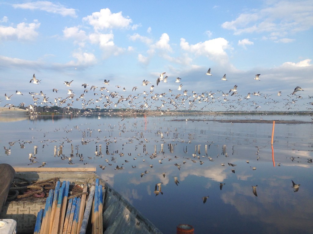 Boardwalk TrailHikingPhoto: U. S. Fish and Wildlife Service - Northeast Region, Public Domain Mark (via Flickr)~23 min drive
- Tuckahoe Valley TrailHiking~43 min drive
- Dike TrailHikingPhoto: U. S. Fish and Wildlife Service - Northeast Region, Public Domain Mark (via Flickr)~23 min drive
- Blue Goose Trail (Blue)HikingPhoto: U. S. Fish and Wildlife Service - Northeast Region, Public Domain Mark (via Flickr)~23 min drive
 Walking Dunes TrailHikingPhoto: Sank63, CC BY 2.0 (via Flickr)~40 min drive
 Nancy's Meadow LoopHikingPhoto: vonguard, CC BY-SA 2.0 (via Flickr)~42 min drive
 Tuckahoe Valley TrailHikingPhoto: Willcook3, CC BY-SA 4.0 (via Wikimedia Commons)~42 min drive
Conditions and forecast
Daily highs and lows, wind and the chance of precipitation at Start for the next 7 days, from the Open-Meteo model.


Ask about this place
Questions about 5K Trail: conditions, access, timing. Answers say when something isn't known.
Map and trail data © OpenStreetMap contributors
