Pondside Nature Trail
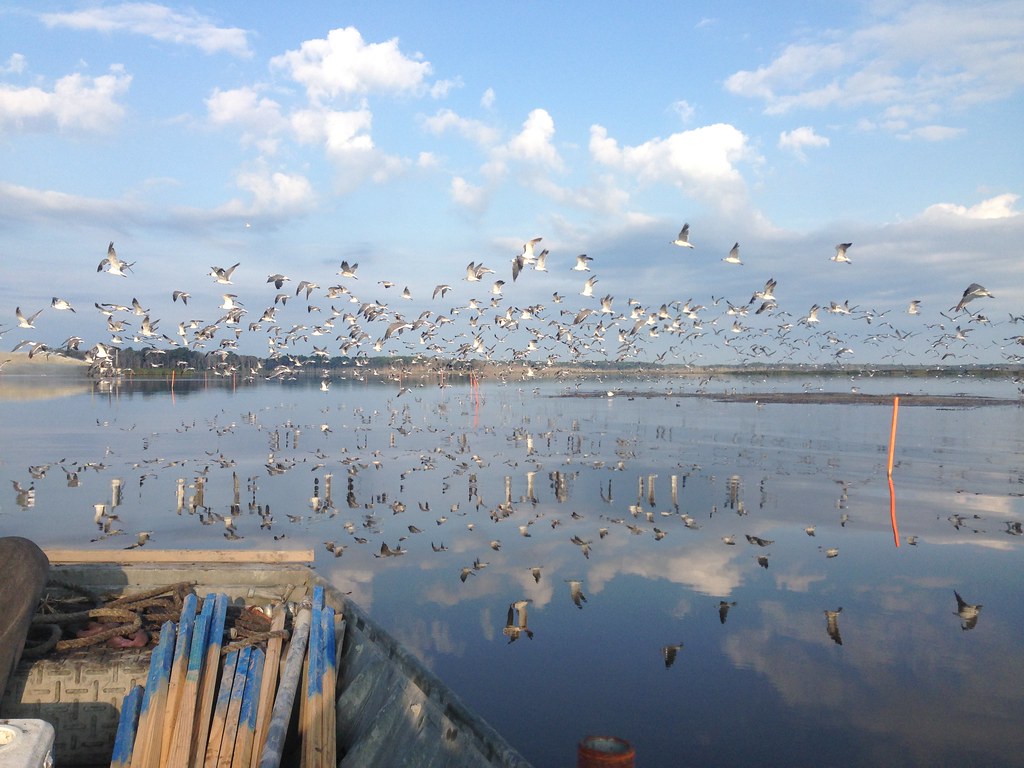
 Photo: wallygrom, CC BY-SA 2.0 (via Flickr)
At a glance
Pondside Nature Trail is an easy hike of about 2.6 miles in Killens Pond State Park in Delaware. The trail runs on a gentle point-to-point route, with a total elevation gain of about 42 feet. Its highest point is around 46 feet, and the steepest section comes at about 1.8 miles, where the grade reaches 14 percent. The trail is managed by State Park and Recreation, and the park itself lies within the Killens Pond State Park land unit. The route is not open to bikes or horses, so plan on walking. Late spring and early fall are the most comfortable times to go. Typical averages from a nearby weather station show May highs around 73°F and September highs around 79°F, with July the warmest month at about 87°F. Other trails lie within about 10 miles, including the 5K Trail, the Mispillion Riverwalk, and the Brecknock Nature Extension.
- one way
- 2.6 mi
- climb
- 42 ft
- high point
- 46 ft
- route
- Point to point
- time
- About 1 hour
- best months
- Apr–Jun, Aug–Nov
Where it is: Killens Pond State Park
Near: Harrington
Best time to visit Pondside Nature Trail
Best months: April–June and August–November. Best months have typical highs of 55–85 °F, lows of 30 °F or warmer (32 °F where the station doesn't record snow), at most one snowy day and no more than 12 wet days.
Jan
44°
25°
9 wet
Feb
46°
26°
8 wet
Mar
54°
33°
11 wet
Apr
65°
42°
10 wet
May
73°
52°
10 wet
Jun
82°
62°
10 wet
Jul
87°
67°
9 wet
Aug
85°
65°
9 wet
Sep
79°
58°
8 wet
Oct
68°
46°
9 wet
Nov
57°
37°
9 wet
Dec
48°
29°
10 wet
Typical high / low (°F) and days with rain or snow, 1991–2020. Measured at Greenwood 2ne, DE, 11.5 mi away at 45 ft. This station doesn't record snowfall. Source: NOAA NCEI U.S. Climate Normals 1991–2020.
Been here? Tell people how it was.
 Boardwalk TrailHikingPhoto: U. S. Fish and Wildlife Service - Northeast Region, Public Domain Mark (via Flickr)~32 min drive
- Pow-Mia WalkwayHiking~17 min drive
- Adt - Delaware - Seg 1Hiking~23 min drive
- Dike TrailHikingPhoto: U. S. Fish and Wildlife Service - Northeast Region, Public Domain Mark (via Flickr)~32 min drive
- Tuckahoe Valley TrailHiking~38 min drive
- Blue Goose Trail (Blue)HikingPhoto: U. S. Fish and Wildlife Service - Northeast Region, Public Domain Mark (via Flickr)~32 min drive
 Parson Point TrailHikingPhoto: Carly & Art from Washington, DC, CC BY-SA 2.0 (via Wikimedia Commons)~35 min drive
 Nancy's Meadow LoopHikingPhoto: vonguard, CC BY-SA 2.0 (via Flickr)~37 min drive
 Tuckahoe Valley TrailHikingPhoto: Willcook3, CC BY-SA 4.0 (via Wikimedia Commons)~37 min drive
- Fitness TrailHikingPhoto: Willcook3, CC BY-SA 4.0 (via Wikimedia Commons)~37 min drive
Conditions and forecast
Daily highs and lows, wind and the chance of precipitation at Start for the next 7 days, from the Open-Meteo model.

Ask about this place
Questions about Pondside Nature Trail: conditions, access, timing. Answers say when something isn't known.
Map and trail data © OpenStreetMap contributors
