Oxford Cumberland Canal Trail
At a glance
The Oxford Cumberland Canal Trail is a short, easy hike of about 2 miles through Fore River Sanctuary in Maine, managed by the State Department of Conservation. The route is a point-to-point walk, with a low point of about 1 foot and a high of about 67 feet. It is an easy outing, with an elevation gain of about 48 feet one way. Summer and early fall are the most comfortable times to go. Typical averages from the nearby Portland airport weather station show July and August highs around 79°F with lows near 60°F, and September highs around 71°F with the fewest wet days of the year. Several other trails lie close by. The Forest City Trail and Startbird are each about 0.2 miles away, the 3 Trail is about 0.3 miles away, and the Presumpscot River Trail - Riverton Section is about 2 miles away.
- one way
- 2.0 mi
- climb
- 48 ft
- high point
- 67 ft
- route
- Point to point
- time
- About 45 minutes
- best months
- May–Oct
Where it is: Fore River Sanctuary
Near: South Portland
Best time to visit Oxford Cumberland Canal Trail
Best months: May–October. Best months have typical highs of 55–85 °F, lows of 30 °F or warmer (32 °F where the station doesn't record snow), at most one snowy day and no more than 12 wet days.
Jan
32°
16°
11 wet
Feb
35°
17°
10 wet
Mar
42°
26°
11 wet
Apr
54°
35°
11 wet
May
64°
46°
12 wet
Jun
74°
55°
11 wet
Jul
79°
61°
11 wet
Aug
79°
60°
10 wet
Sep
71°
52°
9 wet
Oct
59°
41°
11 wet
Nov
48°
32°
11 wet
Dec
38°
22°
12 wet
Typical high / low (°F) and days with rain or snow, 1991–2020. Measured at Portland Intl Jetport, ME, 1.4 mi away at 45 ft. This station doesn't record snowfall. Source: NOAA NCEI U.S. Climate Normals 1991–2020.
Been here? Tell people how it was.
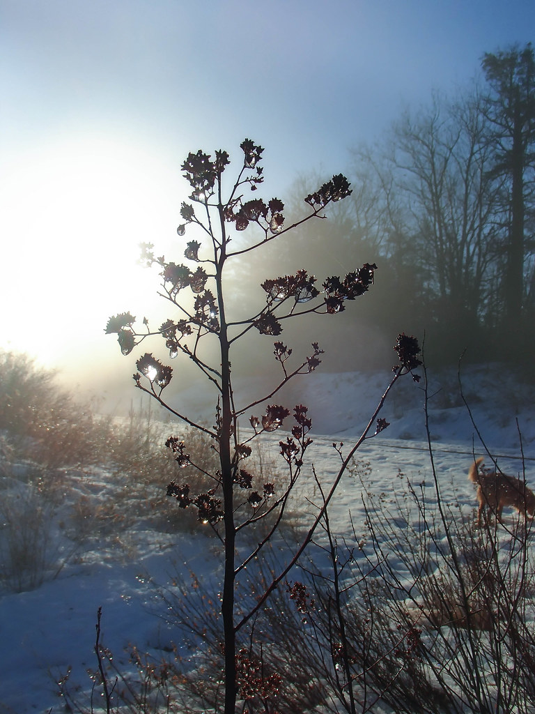 Forest City TrailHikingPhoto: Jack.Flanagan, CC BY 2.0 (via Flickr)0.2 mi
- StartbirdHiking0.2 mi
- 3 TrailHikingPhoto: Jack.Flanagan, CC BY 2.0 (via Flickr)0.3 mi
- Capisic Brook TrailHiking0.6 mi
- Presumpscot River Trail - Riverton SectionHiking2 mi
 Long Creek TrailHikingPhoto: Magicpiano, CC BY-SA 4.0 (via Wikimedia Commons)2.1 mi
 Blue Spruce TrailsHikingPhoto: Mason Masteka, CC BY-SA 2.0 (via Flickr)2.1 mi
- Highway BouldersRock climbing6.7 mi
- Forest City TrailHikingPhoto: Jack.Flanagan, CC BY 2.0 (via Flickr)Next door
- Rail Road LoopHikingPhoto: Jack.Flanagan, CC BY 2.0 (via Flickr)Next door
- Cross Falmouth TrailHiking~8 min drive
- Mill Brook Preserve TrailHiking~6 min drive
- 3 TrailHikingPhoto: Jack.Flanagan, CC BY 2.0 (via Flickr)Next door
- Long Creek TrailHikingPhoto: Magicpiano, CC BY-SA 4.0 (via Wikimedia Commons)~4 min drive
- Blue Spruce TrailsHikingPhoto: Mason Masteka, CC BY-SA 2.0 (via Flickr)~4 min drive
 Wood Duck TrailHikingPhoto: Matthew Simoneau, CC BY 2.0 (via Flickr)~5 min drive
 Eastern Prom Midslope TrailHikingPhoto: cdsessums, CC BY-SA 2.0 (via Flickr)~5 min drive
- Sugar Maple TrailHikingPhoto: Matthew Simoneau, CC BY 2.0 (via Flickr)~6 min drive
Conditions and forecast
Daily highs and lows, wind and the chance of precipitation at Start for the next 7 days, from the Open-Meteo model.
Ask about this place
Questions about Oxford Cumberland Canal Trail: conditions, access, timing. Answers say when something isn't known.
Map and trail data © OpenStreetMap contributors
