
Interloken Trail
New York
Free — you'll pick up right here.
11.0 mi
Distance
634 ft
Gain
4h 2m
Time
Conditions: Blocked
for hike, todayAn agency closure order is in effect for this area; weather is good
2 factors · 2 sources
Newest 6 h ago · oldest 6 h
problem: Agency alerts
42 active alerts in Green Mountain and Finger Lakes National Forests; most severe: Glastenbury fire tower is closed to public use
USFSPosted Apr 22, 2025 · checked 6 h ago
clear: Weather
Clouds, high 62°F / low 41°F, 0% precip — 98/100 for hike
OpenWeather6 h ago
Been out here in the last few days? One report keeps this current for everyone.
Why you'll love it
Here's your day, mapped
Interloken Trail
Suggested plan · check conditions before you go
Meals
Gear for the day
Elevation & route
- Distance
- 11.0 mi
- Elevation gain
- 634 ft
- Elevation loss
- 1,044 ft
- Highest point
- 1,851 ft
- Lowest point
- 1,481 ft
Photos
Directions & GPX
Permits & access
- Managing agency
- Forest Service
About this trail
The Interloken Trail is a scenic 10.91-mile point-to-point hike in New York that connects two distinct areas through varied terrain. This trail offers hikers a one-way journey through forests and natural landscapes, requiring shuttle logistics or a return via alternate routes. The name suggests passage between two lakes or water features, making this an ideal choice for those seeking a longer day hike or backpacking adventure.
Add to a trip & share
Keep exploring — more trails worth the drive
Photo: Seabamirum from Ithaca, CC BY 2.0 (via Wikimedia Commons)Finger Lakes / North Country Trail
~0 min drive
4.6-mile out-and-back trail in New York with 1,151 ft elevation gain
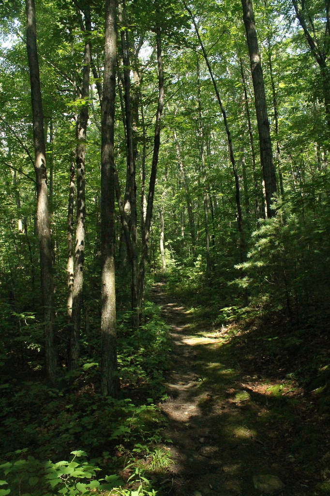 Photo: andyarthur, CC BY 2.0 (via Flickr)
FINGER LAKES
~1 min drive
1.1-mile out-and-back trail in New York with 291 ft elevation gain
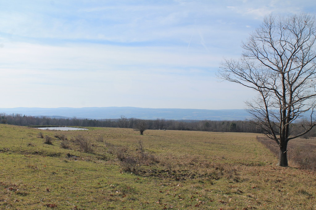 Photo: andyarthur, CC BY 2.0 (via Flickr)
Ravine Loop
~4 min drive
0.62-mile out-and-back trail in New York with 58 ft of elevation gain.
 Photo: javajoe6, CC BY-SA 3.0 (via Wikimedia Commons)
Backbone Trail
~7 min drive
11.22-mile out-and-back trail in New York with 1,127 ft elevation gain
 Photo: Ron Shawley, CC BY 3.0 (via Wikimedia Commons)
Indian Trail
~10 min drive
0.97-mile point-to-point trail in New York with 322 ft gain and 416 ft loss.
 Photo: javajoe6, CC BY-SA 3.0 (via Wikimedia Commons)
South Slope
~1 min drive
1.59-mile out-and-back trail in New York with 212 ft elevation gain
 Photo: andyarthur, CC BY 2.0 (via Flickr)
Horse
~5 min drive
0.76-mile out-and-back trail in New York with 118 ft of elevation gain.
 Photo: Ron Shawley, CC BY 3.0 (via Wikimedia Commons)
Gorge Trail
~10 min drive
Gorge Trail is a 1.13-mile point-to-point trail in New York with 276 ft of elevation gain.
Photo: Seabamirum from Ithaca, CC BY 2.0 (via Wikimedia Commons)Gorge Trail
~2 min drive
Gorge Trail is a 0.79-mile point-to-point trail in New York with 4 ft gain.
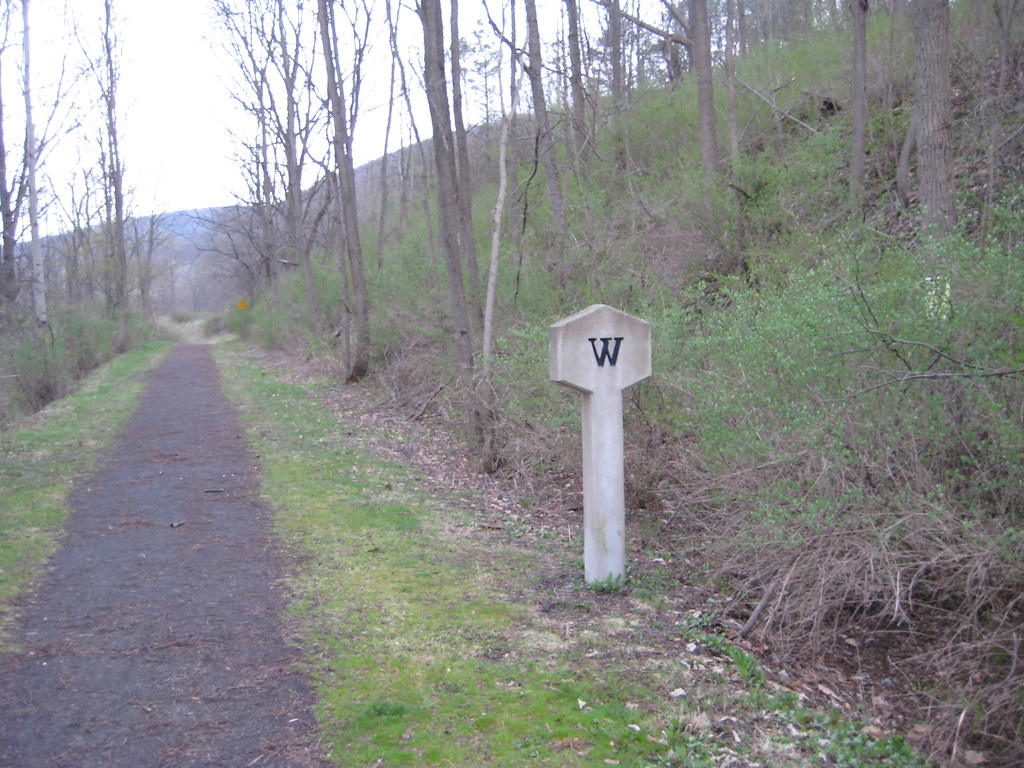 Photo: Russ Nelson, CC BY-SA 2.0 (via Flickr)
Catherine Valley Trail
~14 min drive
8.8-mile out-and-back hike in New York with 2,029 ft elevation gain
Map and trail data © OpenStreetMap contributors
