Preserve Shoreline Loop Trail
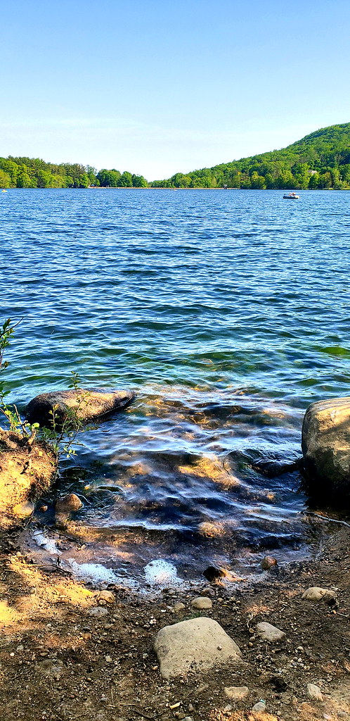 Photo: JillTheThrill, CC BY 2.0 (via Flickr)
At a glance
Preserve Shoreline Loop Trail is a 1.5-mile loop in Franklin Lakes Nature Preserve in New Jersey, on city-managed land. The trail is rated easy, with no elevation gain, and it sits at about 410 to 433 feet, so it's a flat walk that circles within a small range of elevation. The route is a loop, and the steepest part comes at about 1.2 miles in, with a grade of 6 percent. That's the only real climb on the trail, and it's short enough to pass without slowing the pace. For comfortable weather, late spring and early fall are the best bets. Typical averages from a nearby weather station at Wanaque Raymond Dam show May highs around 71°F and September highs around 76°F, with July the warmest month at about 84°F. Several other trails lie close by. Island Bridges Trail is just 0.2 miles away, and Space Mountain and Twisty Deer Path Loop are each within about a mile. For climbing, the Rocky Hollow Area at Garret Mountain is roughly 5.5 miles off.
- loop
- 1.5 mi
- high point
- 433 ft
- route
- Loop
- difficulty
- Easy
- time
- About 45 minutes
- best months
- Apr–Oct
Where it is: Franklin Lakes Nature Preserve
Near: Paterson
Best time to visit Preserve Shoreline Loop Trail
Best months: April–October. Best months have typical highs of 55–85 °F, lows of 30 °F or warmer (32 °F where the station doesn't record snow), at most one snowy day and no more than 12 wet days.
Jan
38°
20°
10 wet
Feb
40°
20°
8 wet
Mar
48°
29°
10 wet
Apr
59°
39°
11 wet
May
71°
50°
12 wet
Jun
79°
58°
11 wet
Jul
84°
64°
10 wet
Aug
83°
63°
10 wet
Sep
76°
56°
8 wet
Oct
64°
43°
9 wet
Nov
53°
35°
8 wet
Dec
43°
27°
9 wet
Typical high / low (°F) and days with rain or snow, 1991–2020. Measured at Wanaque Raymond Dam, NJ, 6.8 mi away at 245 ft. This station doesn't record snowfall. Source: NOAA NCEI U.S. Climate Normals 1991–2020.
Been here? Tell people how it was.
 Island Bridges TrailHikingPhoto: akasped, CC BY 2.0 (via Flickr)0.2 mi
 Space MountainHikingPhoto: daveclausen, CC BY 2.0 (via Flickr)0.8 mi
 Twisty Deer Path LoopHikingPhoto: daveclausen, CC BY 2.0 (via Flickr)1 mi
- Rocky Hollow Area at Garret MountainRock climbing5.5 mi
- Garrett MountainRock climbing5.6 mi
- Entrance BouldersRock climbing6.1 mi
- Wanaque RiverCanoeing6.8 mi
- Ramapo RiverRiver fishing7.5 mi
- Island Bridges TrailHikingPhoto: akasped, CC BY 2.0 (via Flickr)Next door
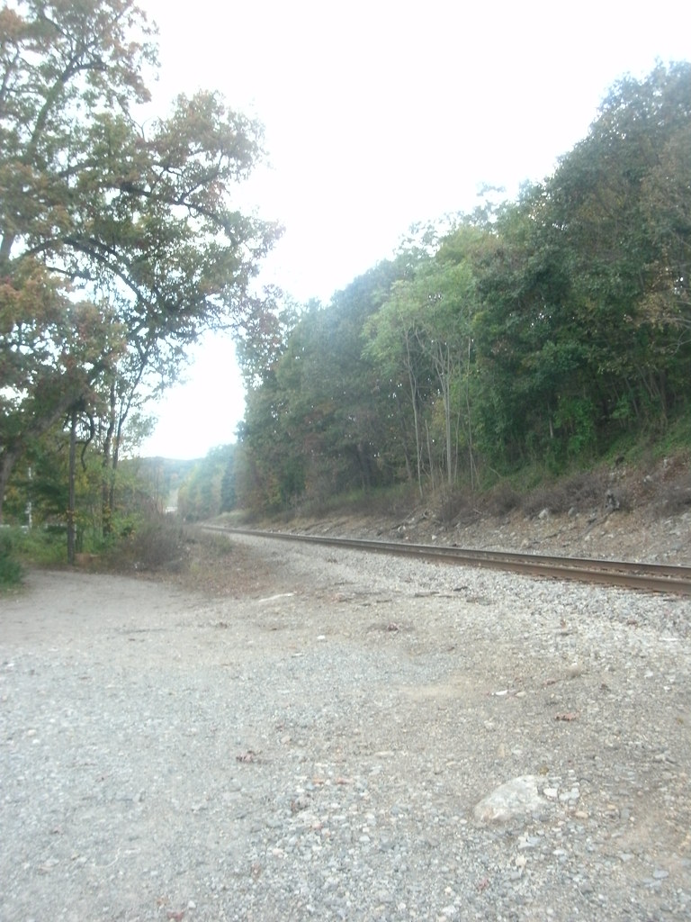 Hoeferlin Memorial TrailHikingPhoto: Roadgeek Adam, CC BY-SA 2.0 (via Flickr)~8 min drive
 Summit-Glen Place LinkHikingPhoto: akasped, CC BY 2.0 (via Flickr)Next door
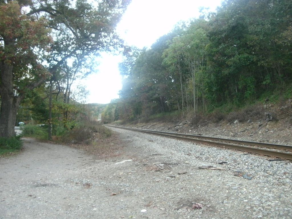 Ramapo Lake LoopHikingPhoto: Roadgeek Adam, CC BY-SA 2.0 (via Flickr)~9 min drive
- Space MountainHikingPhoto: daveclausen, CC BY 2.0 (via Flickr)~1 min drive
- Beech Mountain-Clove TrailHiking~3 min drive
- Twisty Deer Path LoopHikingPhoto: daveclausen, CC BY 2.0 (via Flickr)~2 min drive
- South Ridge TrailHiking~8 min drive
- Indians LoopHikingPhoto: akasped, CC BY 2.0 (via Flickr)~2 min drive
- Pool Hollow TrailHiking~9 min drive
Conditions and forecast
Daily highs and lows, wind and the chance of precipitation at Start for the next 7 days, from the Open-Meteo model.

Ask about this place
Questions about Preserve Shoreline Loop Trail: conditions, access, timing. Answers say when something isn't known.
Local outfitters
- Pier 13 Hoboken18 mi away
Not on Roamze yet. Their page has how to reach them.
Map and trail data © OpenStreetMap contributors
