North Fork
At a glance
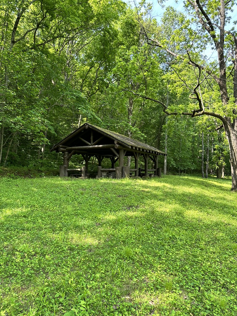
North Fork Recreation Area provides camping, picnicking, boating, canoeing, hiking and fishing access to the beautiful North Fork of the White River, which has a total of nine major springs flowing into it. As you drive into the site, the first right takes you to the boat access area. If you go straight you'll hit a t-intersection, if you go left you enter the campground, if you go right you enter the day use. The site is surrounded by an oak/hickory forest, there are a lot of tulip poplar and sycamore in that area. From the day use area, and sometimes the campground, you have amazing views looking across the river of the mixed hardwood and pine forest and the rock bluffs that envelope the river. On the other side of the river is the beginning of the Devils Backbone Wilderness Area. Some sites have views of the river before trees and bushes leaf out. North Fork Recreation Area serves as trailhead for the 35-mile long Ridge Runner National Recreation Trail and the Blue Spring Trail. There are multiple springs that contribute to the river, one of the largest is Blue Spring, which contributes around 7 million gallons of cold, clear water every day to the river. Near North Fork, from the river you can paddle up into Blue Spring or hike the Blue Spring Trail. The spring is about 30 feet in diameter. One three sides, the stone wall is made of cherty Gasconade dolomite that surrounds the spring and represents the karst topography of Ozarks.
- best months
- Mar–Jun, Sep–Nov
Where it is: Ava/Cassville/Willow Springs Ranger District · Mark Twain National Forest
Near: West Plains
Best time to visit North Fork
Best months: March–June and September–November. Best months have typical highs of 55–85 °F, lows of 30 °F or warmer (32 °F where the station doesn't record snow), at most one snowy day and no more than 12 wet days.
Jan
45°
25°
6 wet · 1 snow
Feb
51°
28°
6 wet · 1 snow
Mar
59°
36°
8 wet
Apr
70°
45°
9 wet
May
76°
54°
10 wet
Jun
84°
63°
8 wet
Jul
89°
67°
7 wet
Aug
88°
65°
7 wet
Sep
80°
58°
7 wet
Oct
70°
45°
7 wet
Nov
58°
36°
8 wet
Dec
48°
28°
7 wet · 1 snow
Typical high / low (°F) and days with rain or snow, 1991–2020. Measured at Dora 3se, MO, 3.4 mi away at 966 ft. Source: NOAA NCEI U.S. Climate Normals 1991–2020.
Been here? Tell people how it was.
- GamalielCamping~40 min drive
- Cranfield ParkCamping~45 min drive
- Henderson ParkCamping~46 min drive
- Robinson PointCamping~49 min drive
- Lakeview ParkCamping~59 min drive
- Dam - QuarryCamping~60 min drive
 Alley SpringCampingPhoto: pasa47 — CC BY 2.0 (via Flickr)~1h 21m drive
- Udall ParkCamping~28 min drive
- Bidwell Point ParkCamping~45 min drive
- Panther Bay ParkCamping~47 min drive
Conditions and forecast
Caution todayAgency alerts are in effect for this areaUSFS · checked 4 min agoDaily highs and lows, wind and the chance of precipitation at North Fork for the next 7 days, from the Open-Meteo model.
Ask about this place
Questions about North Fork: conditions, access, timing. Answers say when something isn't known.
- At 700 ft
- Ava/Cassville/Willow Springs Ranger DistrictMark Twain National Forest
