Moffett Creek
At a glance
Moffett Creek is a 24-mile paddling stretch near Fort Jones, California, about 5.4 miles from town. It is an intermittent waterway, and it may run dry in some seasons. USGS models an average flow of about 107 cubic feet per second and a gradient of about 80 feet per mile. Late spring and early fall tend to be the most comfortable times to paddle. Typical averages from a nearby weather station at Mt Shasta show May highs around 69°F and September highs around 78°F, with only a few wet days in each month. That station sits well below the creek, so temperatures on the creek run cooler. The Salmon/Scott River Ranger District, about 5.6 miles away, offers river fishing. The Scott River, Patterson Creek and the Humbug Trail are all within about 10 miles.
- distance
- 23.8 mi
- high point
- 4,842 ft
- best months
- Mid-Apr–late Oct
Near: Yreka
Best weeks to go
Mid-April to late October is usually best for paddling here.
Typical highs of 60–87°F and lows of 35°F or warmer in those weeks.
Typical weather: NOAA 1991–2020 normals at Mt Shasta, CA, 27 mi away. Not a forecast.
Typical weather by monthBest time to visit Moffett Creek
Best months: April–October. Best months are the ones mostly made of the best weeks for paddling: typical temperatures in its comfortable range, few snowy days and not usually wet, judged with the same limits as our good-day forecasts.
Jan
44°
29°
12 wet
Feb
47°
29°
12 wet
Mar
53°
32°
13 wet
Apr
59°
35°
11 wet
May
69°
41°
8 wet
Jun
76°
47°
4 wet
Jul
85°
52°
2 wet
Aug
85°
50°
2 wet
Sep
78°
45°
3 wet
Oct
65°
37°
6 wet
Nov
51°
31°
10 wet
Dec
42°
28°
13 wet
Typical high / low (°F) and days with rain or snow, 1991–2020. Measured at Mt Shasta, CA, 27.4 mi away at 3,535 ft. The station sits about 1,300 ft lower than this place, so expect it a little cooler here. This station doesn't record snowfall. Source: NOAA NCEI U.S. Climate Normals 1991–2020.
Been here? Tell people how it was.
- Salmon/Scott River Ranger DistrictRiver fishing5.6 mi
- Humbug TrailHiking9.2 mi
- Scott RiverCanoeing9.2 mi
- AARP TrailHiking9.3 mi
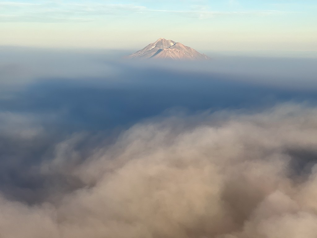 Sidewinder TrailHikingPhoto: NOAACSL, CC BY 2.0 (via Flickr)9.5 mi
- Goat TrailHikingPhoto: NOAACSL, CC BY 2.0 (via Flickr)9.6 mi
- Big Ditch TrailHiking9.6 mi
- Patterson CreekCanoeing9.9 mi
 Shasta RiverCanoeingPhoto: Marshman at en.wikipedia, CC BY-SA 3.0 (via Wikimedia Commons)~22 min drive
- Brown Bear Boating SiteBoat launch~18 min drive
- Sarah Totten CampgroundFloat trip~37 min drive
 Sacramento RiverCanoeingPhoto: David Monniaux, CC BY-SA 3.0 (via Wikimedia Commons)~53 min drive
- Skeahan Bar Boating SiteBoat launch~33 min drive
 Klamath RiverCanoeingPhoto: Kid Cowboy, CC BY-SA 2.0 (via Wikimedia Commons)~58 min drive
- Rocky Bar River AccessBoat launch~44 min drive
- Scott RiverCanoeing~16 min drive
- Gottville River AccessBoat launch~33 min drive
- Patterson CreekCanoeing~17 min drive
Conditions and forecast
Daily highs and lows, wind and the chance of precipitation at Start for the next 7 days, from the Open-Meteo model.
Ask about this place
Questions about Moffett Creek: conditions, access, timing. Answers say when something isn't known.
Local outfitters
- Momentum River Expeditions42 mi away
- Noah's River Adventures42 mi away
Not on Roamze yet. Their page has how to reach them.
