Antelope Creek
At a glance
Antelope Creek is a 16-mile paddling stretch near Westcliffe, Colorado, with Rosita about 4 miles away. The creek is intermittent and may run dry in some seasons, so conditions vary. USGS models an average flow of about 45 cubic feet per second and a gradient of about 109.6 feet per mile. Summer is the most comfortable time to paddle. At a nearby weather station, typical July averages are a high of 81°F and a low of 52°F, though that station sits about 1,500 feet lower than the creek, so temperatures here run cooler. Wet Mountain RV Park & Cabins is about 9 miles away. The Prayer Pole Trail and North Colony are both within about 9 miles, and Crestone Needle is about 10 miles off.
- distance
- 16.4 mi
- high point
- 9,725 ft
- best months
- May–Sep
Near: Silver Cliff
Best time to visit Antelope Creek
Best months: May–September. Best months have typical highs of 55–85 °F, lows of 30 °F or warmer (32 °F where the station doesn't record snow), at most one snowy day and no more than 12 wet days.
Jan
33°
11°
5 wet · 5 snow
Feb
39°
16°
5 wet · 5 snow
Mar
48°
24°
6 wet · 5 snow
Apr
56°
29°
6 wet · 4 snow
May
66°
38°
7 wet · 1 snow
Jun
77°
48°
6 wet
Jul
81°
52°
10 wet
Aug
78°
50°
11 wet
Sep
72°
44°
7 wet
Oct
60°
33°
5 wet · 2 snow
Nov
45°
22°
4 wet · 4 snow
Dec
34°
12°
5 wet · 5 snow
Typical high / low (°F) and days with rain or snow, 1991–2020. Measured at Great Sand Dunes Np & Preserve, CO, 23.1 mi away at 8,183 ft. The station sits about 1,500 ft lower than this place, so expect it a little cooler here. Source: NOAA NCEI U.S. Climate Normals 1991–2020.
Been here? Tell people how it was.
- Wet Mountain RV Park & CabinsCamping8.9 mi
- Prayer Pole TrailHiking9 mi
- North ColonyHiking9.2 mi
- Marble Mtn.Hiking9.4 mi
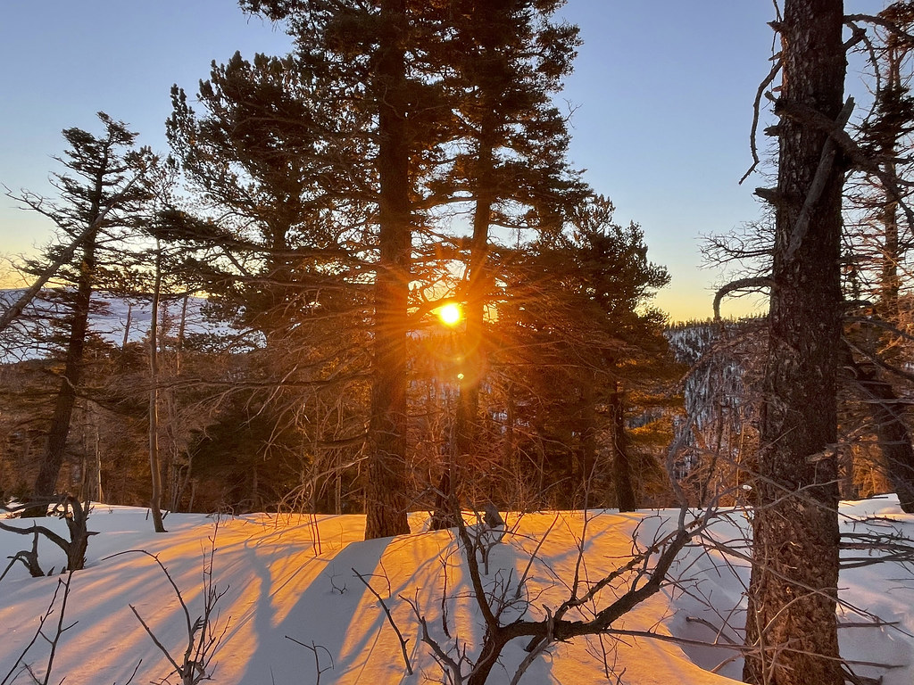 Crestone NeedleHikingPhoto: kalestews, CC BY 2.0 (via Flickr)9.7 mi
- Humboldt PeakHikingPhoto: kalestews, CC BY 2.0 (via Flickr)9.7 mi
- Crestone PeakHiking9.7 mi
- Crestolita PeakHikingPhoto: kalestews, CC BY 2.0 (via Flickr)9.7 mi
 Grape CreekCanoeingPhoto: Jeffrey Beall, CC BY 4.0 (via Wikimedia Commons)~18 min drive
- Lake Isabel CabinTubing~29 min drive
- Texas Creek River AccessBoat launch~49 min drive
 Huerfano RiverCanoeingPhoto: Jeffrey Beall, CC BY-SA 3.0 (via Wikimedia Commons)~50 min drive
- Ford's Landing River AccessBoat launch~49 min drive
 San Luis CreekCanoeingPhoto: Scarpy, CC BY-SA 3.0 (via Wikimedia Commons)~53 min drive
- Lone Pine River AccessBoat launch~50 min drive
 Saint Charles RiverCanoeingPhoto: Jeffrey Beall, CC BY 3.0 (via Wikimedia Commons)~55 min drive
- Lone Pine Recreation Site Boat LaunchBoat launch~50 min drive
 Cucharas RiverCanoeingPhoto: Jeffrey Beall, CC BY 4.0 (via Wikimedia Commons)~1h 11m drive
Also worth it near here
- Crystal FallsWaterfall~16 min drive
 Obstruction PeakHikingPhoto: Todd Dwyer, CC BY-SA 3.0 (via Wikimedia Commons)~17 min drive
 Humboldt PeakSummitPhoto: Meniscus at English Wikipedia, Public domain (via Wikimedia Commons)~21 min drive
 Macey SpurMountain bikingPhoto: Fredlyfish4, CC BY-SA 3.0 (via Wikimedia Commons)~22 min drive
Conditions and forecast
Daily highs and lows, wind and the chance of precipitation at Start for the next 7 days, from the Open-Meteo model.
Ask about this place
Questions about Antelope Creek: conditions, access, timing. Answers say when something isn't known.
Local outfitters
- Journey Quest28 mi away
- Black Bear Retreat39 mi away
Not on Roamze yet. Their page has how to reach them.
