Cold Creek Campground
Campground
1.5 mi from the trail
Mt. Catherine Loop is a 5.30-mile out-and-back route in Washington with 1,398 feet of elevation gain.
Near: Snoqualmie Pass
No week is usually ideal for skiing here. Late October to early April comes closest.
Typical weather: NOAA 1991–2020 normals at Stampede Pass, WA, 8 mi away. Not a forecast.
Typical weather by monthNo month here meets our mild-weather rule. Best months are the ones mostly made of the best weeks for skiing: typical temperatures in its comfortable range, few snowy days and not usually wet, judged with the same limits as our good-day forecasts.
Jan
32°
25°
20 wet
Feb
35°
26°
17 wet
Mar
40°
29°
20 wet
Apr
46°
33°
19 wet
May
53°
38°
17 wet
Jun
60°
43°
14 wet
Jul
68°
50°
8 wet
Aug
69°
51°
7 wet
Sep
63°
47°
10 wet
Oct
49°
38°
16 wet
Nov
38°
30°
19 wet
Dec
32°
24°
20 wet
Typical high / low (°F) and days with rain or snow, 1991–2020. Measured at Stampede Pass, WA, 8.3 mi away at 3,959 ft. We don't have this place's elevation, so higher spots nearby can run cooler. This station doesn't record snowfall. Source: NOAA NCEI U.S. Climate Normals 1991–2020.
Campfire Ban in Effect Forest-wide
Mt. Baker-Snoqualmie National Forest · Order dated July 21, 2026; seen Aug 23, 2026 → lifted Sep 15, 2026 · Forest Service
Been here? Tell people how it was.
 Crystal MountainDownhill skiingPhoto: ZhengZhou, CC BY-SA 3.0 (via Wikimedia Commons)~55 min drive
Also worth it near here
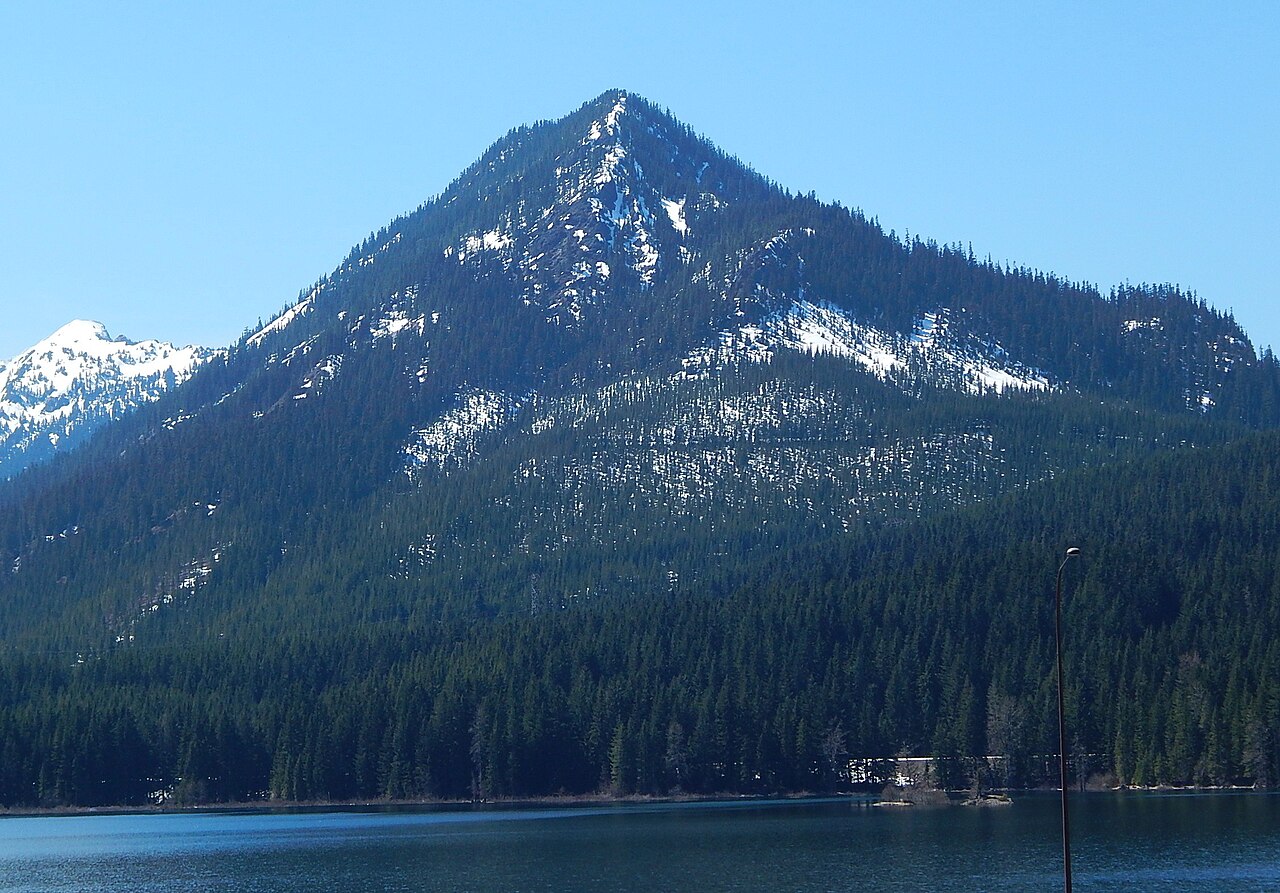 Mount CatherineSummitPhoto: Ron Clausen, CC BY-SA 4.0 (via Wikimedia Commons)~3 min drive
 Mount Catherine TrailHikingPhoto: brewbooks from near Seattle, USA, CC BY-SA 2.0 (via Wikimedia Commons)~3 min drive
 Franklin FallsWaterfallPhoto: Steven Pavlov, CC BY-SA 4.0 (via Wikimedia Commons)~5 min drive
Daily highs and lows, wind and the chance of precipitation at Start for the next 7 days, from the Open-Meteo model.
Questions about Mt. Catherine Loop: conditions, access, timing. Answers say when something isn't known.
Cold Creek Campground
Campground
Coyote's
Fast food
 If it rainsShakespeare at English Wikipedia, CC BY-SA 3.0 · Wikimedia Commons
Railway station in Snoqualmie, the United States of America
Places © OpenStreetMap contributors · Photos: Shakespeare at English Wikipedia, CC BY-SA 3.0 (commons)
More in GreenwaterNot on Roamze yet. Their page has how to reach them.
