

Taylor Park Trading Post
Hiking business nearby (~18 mi away) — hasn't claimed their Roamze page yet

Colorado
Free — you'll pick up right here.
1.2 mi
Distance
1,921 ft
Gain
1h 8m
Time
We won't guess. Here is exactly what we do and don't know.
What we do know
Inside Pike and San Isabel National Forests
2 managing-area boundaries mapped — agency alerts for them feed this page automatically.
Boundary data
Access via CO 82: Independence Pass
Road status feeds from the state DOT 511 network.
State DOT 511 · 46 d ago
Nobody's filed a report here yet — be the first.
Why you'll love it
Mountain Boy
Suggested plan · check conditions before you go
Mountain Boy is a 2.42-mile out-and-back trail in Colorado with 1,921 feet of elevation gain. The trail reaches a maximum elevation of 11,580 feet.
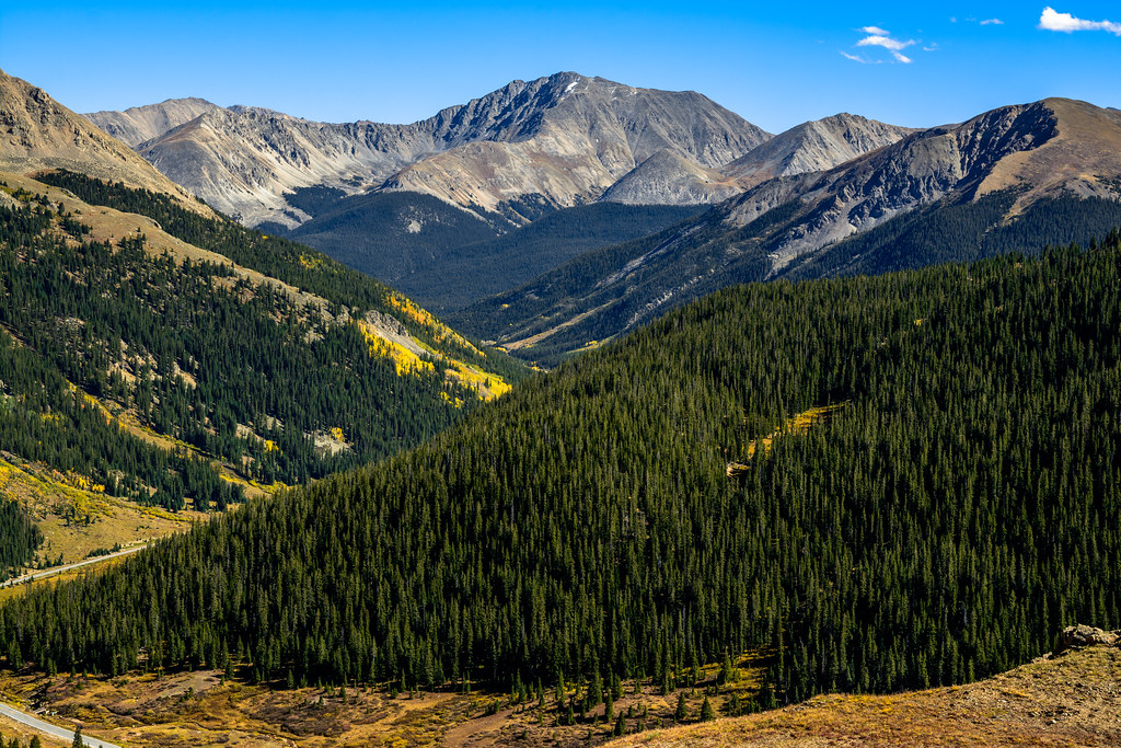 Photo: dconvertini, CC BY-SA 2.0 (via Flickr)
Independance Pass Overlook
~3 min drive
0.60-mile out-and-back trail at 12,131 ft elevation in Colorado.
 Photo: markbyzewski, CC BY 2.0 (via Flickr)
North Fork Lake Creek
~5 min drive
7.77-mile out-and-back trail in Colorado with 1,109 ft gain and 12,439 ft max elevation.
 Photo: jl_2, CC BY-SA 2.0 (via Flickr)
Black Cloud Trail
~9 min drive
1.36-mile out-and-back trail in Colorado with 521 ft elevation gain.
Photo: Toshihiro Matsui, CC BY-SA 3.0 (via Wikimedia Commons)Deer Mountain
~3 min drive
Route to the summit of Deer Mountain (13,694 ft) from the trailhead.
 Photo: markbyzewski, CC BY 2.0 (via Flickr)
Linkins Lake
~6 min drive
0.88-mile out-and-back hike to Linkins Lake in Colorado's White River National Forest.
Graham Gulch
~4 min drive
4.06-mile out-and-back trail in Colorado's Pike and San Isabel National Forests with 1,423 ft gain.
 Photo: jefftakespictures, CC BY 2.0 (via Flickr)
Black Cloud
~10 min drive
6.78-mile out-and-back trail in Colorado with 3,747 ft gain and 13,453 ft max elevation
 Photo: markbyzewski, CC BY 2.0 (via Flickr)
Twining Peak
~9 min drive
Route to the summit of Twining Peak (13,632 ft) from Lost Man.
Anderson Lake
~10 min drive
2.20-mile out-and-back hike to Anderson Lake in Colorado's White River National Forest.
Mcnassar Gulch
~6 min drive
2.62-mile out-and-back trail in Colorado's Pike and San Isabel National Forests with 893 ft gain.
Local operatorsoffering guided trips. You book directly with them — Roamze doesn’t take a cut.
Taylor Park Trading Post
Hiking business nearby (~18 mi away) — hasn't claimed their Roamze page yet
Maroon Bells Guide and Outfitters
Hiking business nearby (~19 mi away) — hasn't claimed their Roamze page yet
Arrowhead Point Campground and Cabins
Hiking business nearby (~25 mi away) — hasn't claimed their Roamze page yet
