Mount Tom
 Photo: Creator:Thomas Charles Farrer, Public domain (via Wikimedia Commons)
At a glance
Mount Tom is a summit in Massachusetts, rising to 1,199 feet about 2 miles from the town of Easthampton. It sits close to several trails and rivers, making it an easy anchor for a day of walking or time on the water. Late spring and early fall tend to be the most comfortable times to visit. Typical averages from a nearby weather station run from highs around 72°F in May to about 75°F in September, and the station sits well below the summit, so temperatures on top run cooler. Bray Loop Trail is about 2.4 miles away, and Trolley Trail is about 3.9 miles away. The Connecticut River is roughly 4 miles off, and the Manhan River, a canoeing route, lies about 5.7 miles away.
- summit
- 1,199 ft
- best months
- Apr, Jul
Near: Holyoke
Best time to visit Mount Tom
Best months: April, July and September–October. Best months have typical highs of 55–85 °F, lows of 30 °F or warmer (32 °F where the station doesn't record snow), at most one snowy day and no more than 12 wet days.
Jan
35°
16°
10 wet
Feb
38°
17°
9 wet
Mar
47°
26°
11 wet
Apr
60°
35°
12 wet
May
72°
46°
13 wet
Jun
80°
55°
13 wet
Jul
85°
61°
12 wet
Aug
83°
59°
13 wet
Sep
75°
51°
12 wet
Oct
63°
39°
11 wet
Nov
51°
30°
10 wet
Dec
40°
22°
11 wet
Typical high / low (°F) and days with rain or snow, 1991–2020. Measured at Westfield Barnes Muni Ap, MA, 6.8 mi away at 271 ft. The station sits about 900 ft lower than this place, so expect it a little cooler here. This station doesn't record snowfall. Source: NOAA NCEI U.S. Climate Normals 1991–2020.
Been here? Tell people how it was.
We don't know of a mapped trail or route to the summit of Mount Tom. Plan the approach with local maps, a guidebook or a local guide, and check conditions before you go.
- Mount Warner517 ft · Massachusetts1 route10 mi away
 Quabbin Hill1,025 ft · Massachusetts2 routes17 mi awayPhoto: Pi.1415926535, CC BY-SA 4.0 (via Wikimedia Commons)
- Moore Hill1,700 ft · Massachusetts1 route17 mi away
- Gobble Mountain1,684 ft · Massachusetts1 route18 mi away
- Perkins Mountain989 ft · Connecticut2 routes19 mi away
- The Pinnacle928 ft · Connecticut1 route21 mi away
 Mount NonotuckSummitPhoto: Louis Everts, Public domain (via Wikimedia Commons)~5 min drive
 Mount HolyokeSummitPhoto: Thomas Cole, Public domain (via Wikimedia Commons)~9 min drive
 Bare MountainSummitPhoto: Paul Gagnon, CC BY 3.0 (via Wikimedia Commons)~13 min drive
- Mount NorwottockSummitPhoto: Paul Gagnon, CC BY 3.0 (via Wikimedia Commons)~14 min drive
 Long MountainSummitPhoto: Original uploader was 5ju989nfhs50 at en.wikipedia, CC BY 3.0 (via Wikimedia Commons)~16 min drive
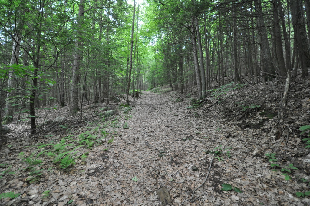 Petticoat HillSummitPhoto: User:Magicpiano, CC BY-SA 4.0 (via Wikimedia Commons)~19 min drive
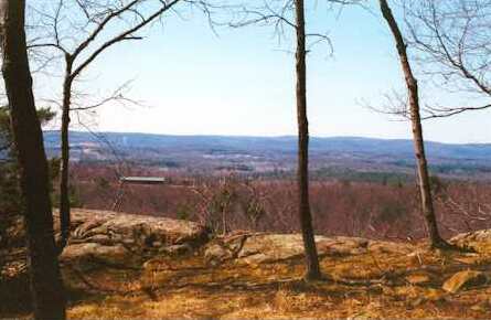 Provin MountainSummitPhoto: 5ju989nfhs50 at English Wikipedia, CC BY 3.0 (via Wikimedia Commons)~19 min drive
 Bull HillSummitPhoto: John Phelan, CC BY 4.0 (via Wikimedia Commons)~27 min drive
- Quabbin HillSummitPhoto: Pi.1415926535, CC BY-SA 4.0 (via Wikimedia Commons)~28 min drive
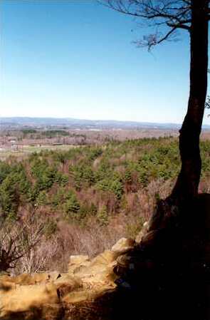 West Suffield MountainSummitPhoto: 5ju989nfhs50 at English Wikipedia, CC BY 3.0 (via Wikimedia Commons)~29 min drive
Conditions and forecast
Daily highs and lows, wind and the chance of precipitation at the summit for the next 7 days, from the Open-Meteo model.
Questions about Mount Tom
How tall is Mount Tom?
1,199 ft (365 m).
Is there a trail to the top of Mount Tom?
We don't know of a mapped trail or route to the summit. Plan the approach with local maps, a guidebook or a local guide.

Ask about this place
Questions about Mount Tom: conditions, access, timing. Answers say when something isn't known.
