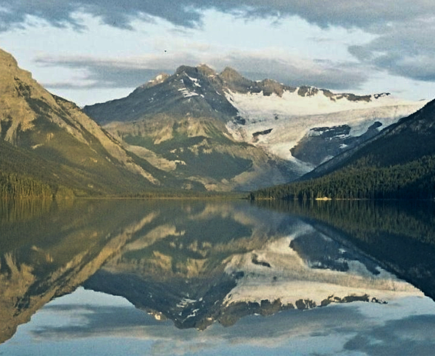
Mount Forbes
 Photo: gafevans, CC BY 2.0 (via Wikimedia Commons)
- 11,850 ft
- summit
- Parks Canada
- managed by
Near: Golden
Mount Forbes is a mountain in Alberta, Canada, with its summit at about 11,850 ft (3,612 m) above sea level. It stands inside Banff National Park. No mapped trail reaches the top in OpenStreetMap, so plan the approach with local maps or a guide. Peaks within about 3 miles include Golden Eagle Peak, Mount Rosita and F4 Peak. It is part of the Park Ranges. Its topographic prominence, the height it rises above the lowest col linking it to higher ground, is about 5,340 ft (1,629 m). These details come from Wikidata. The location and elevation come from OpenStreetMap and the Copernicus 90 m elevation model. Check local access rules and conditions before you go.
Conditions and forecast
Daily highs and lows, wind and the chance of precipitation at the summit for the next 7 days, from the Open-Meteo model.
- Summit elevation
- 11,850 ft
- Land manager
- Parks Canada
We don't know of a mapped trail or route to the summit of Mount Forbes. Plan the approach with local maps, a guidebook or a local guide, and check conditions before you go.
Questions about Mount Forbes
How tall is Mount Forbes?
11,850 ft (3,612 m).
Is there a trail to the top of Mount Forbes?
We don't know of a mapped trail or route to the summit. Plan the approach with local maps, a guidebook or a local guide.
Been here? Tell people how it was.
 Division MountainSummitPhoto: Jock Rutherford, CC BY-SA 2.0 (via Wikimedia Commons)~7 min drive
 Mount ErasmusSummitPhoto: Royalbroil, CC BY-SA 3.0 (via Wikimedia Commons)~12 min drive
- Golden Eagle PeakSummit~2 min drive
- Mount RositaSummit~2 min drive
- F4 PeakSummit~2 min drive
- F2 PeakSummit~2 min drive
- Mount Outram SW2.3Summit~2 min drive
- Mount Outram W3.3Summit~3 min drive
- F1 PeakSummit~3 min drive
- Mount Sir JamesSummit~4 min drive

Map and trail data © OpenStreetMap contributors
