Mill Creek Trail Blue Loop
Arkansas
Free — you'll pick up right here.
13.8 mi
Distance
3,501 ft
Gain
5h 25m
Time
Conditions: Blocked
for hike, todayAn agency closure order is in effect for this area; weather is good
2 factors · 2 sources
Newest 7 h ago · oldest 7 h
problem: Agency alerts
22 active alerts in Ozark-St. Francis National Forest; most severe: Ozark Highlands Trail Access During ARDOT Hwy 123 Big Piney Creek Bridge Reconstruction
USFSPosted Sep 28 · checked 7 h ago
clear: Weather
Clear, high 85°F / low 56°F, 0% precip — 92/100 for hike
OpenWeather7 h ago
Been out here in the last few days? One report keeps this current for everyone.
Why you'll love it
Here's your day, mapped
Mill Creek Trail Blue Loop
Suggested plan · check conditions before you go
Meals
Gear for the day
Elevation & route
- Distance
- 13.8 mi
- Elevation gain
- 3,501 ft
- Elevation loss
- 3,501 ft
- Highest point
- 2,306 ft
- Lowest point
- 1,568 ft
Photos
Directions & GPX
Permits & access
- Managing agency
- Forest Service
- Dogs
- unknown
- Bikes
- no
About this trail
The Mill Creek Trail Blue Out-and-back is a 27.6-mile out-and-back trail in Arkansas with 3,501 feet of elevation gain and loss. The trail reaches a maximum elevation of 2,306 feet.
Add to a trip & share
Keep exploring — more trails worth the drive
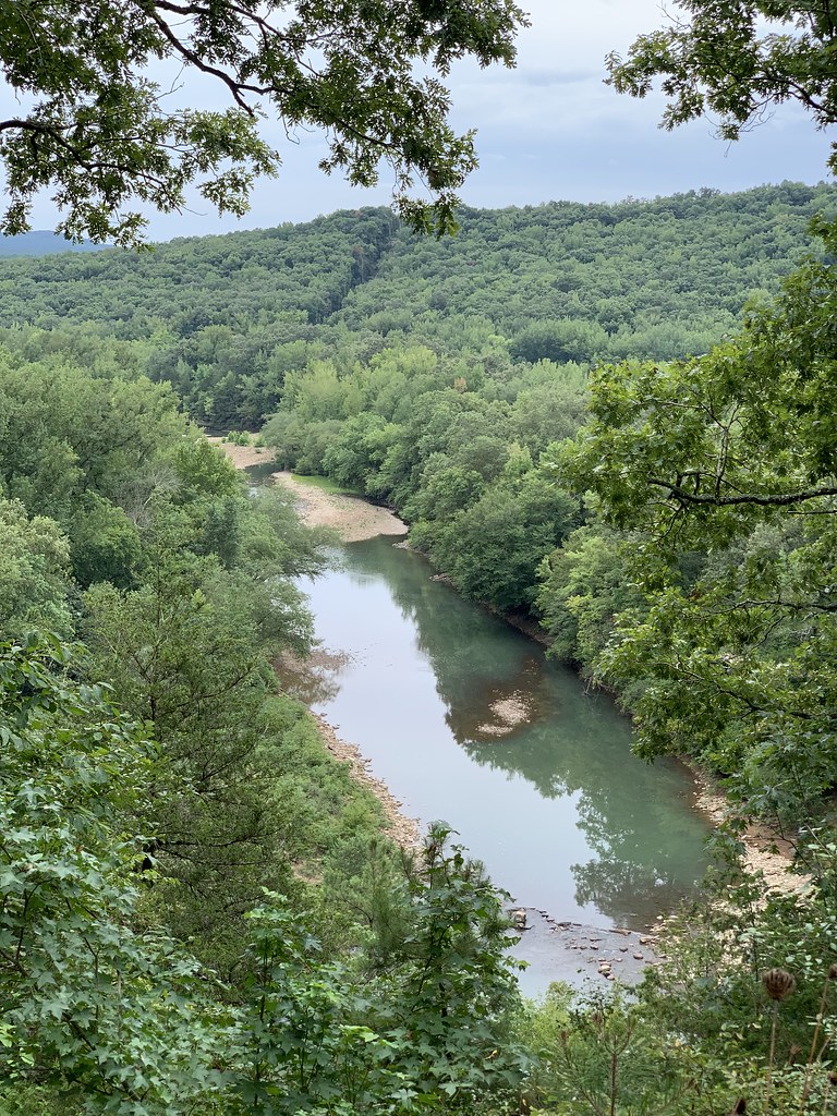 Photo: SlapTheWorld, Public Domain Dedication (CC0) (via Flickr)
Redding Loop East-Oht Spurs
~12 min drive
4.63-mile out-and-back trail in Arkansas with 1,693 ft gain.
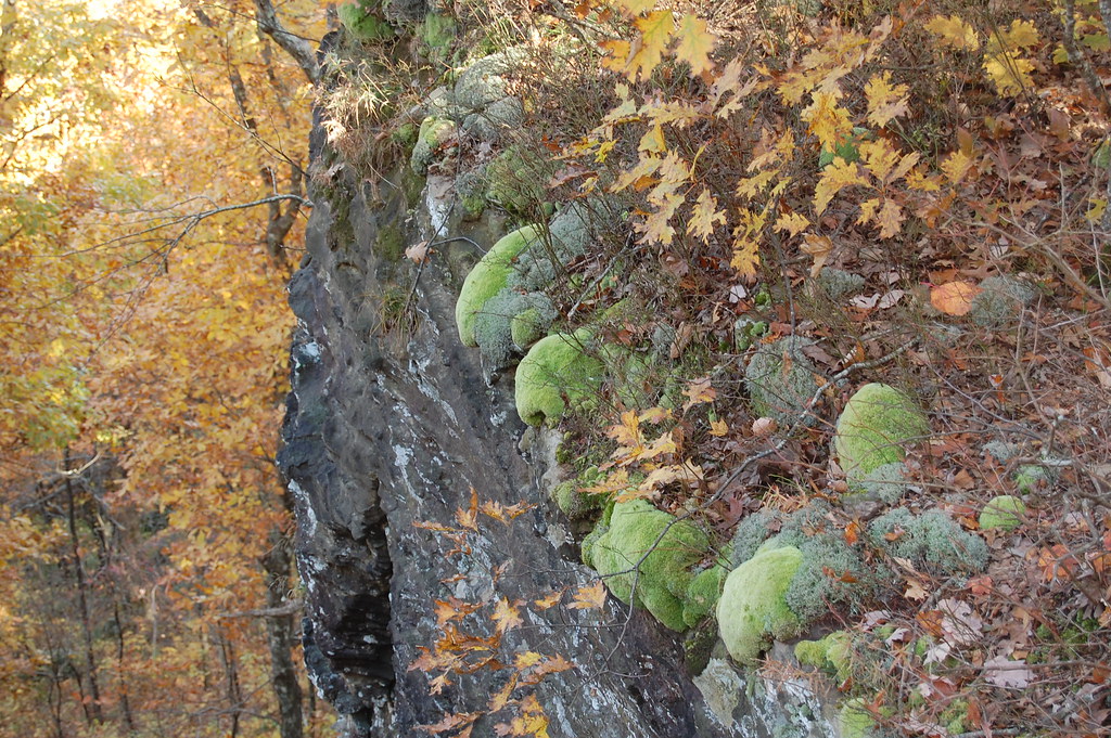 Photo: adam*b, CC BY 2.0 (via Flickr)
White Rock Mountain Rim Trail
~16 min drive
0.93-mile out-and-back hike on White Rock Mountain's rim in Arkansas.
 Photo: Tony Webster — CC BY 2.0 (via Flickr)
Buffalo Creek Trail
~33 min drive
9.67-mile out-and-back hike in Arkansas with 480 ft gain.
Ozark Highlands Trail
~6 min drive
132-mile point-to-point Ozark trail through mountains and valleys.
Connector
~34 min drive
1.1-mile out-and-back trail in Arkansas with 49 ft of elevation gain.
Photo: adam*b, CC BY 2.0 (via Flickr)Ozark Highlands Trail
~16 min drive
Arkansas's premier 201-mile Ozark Mountains long-distance hiking trail.
 Photo: SlapTheWorld, Public Domain Dedication (CC0) (via Flickr)
Indian Creek Oht Spur
~16 min drive
0.49-mile out-and-back trail in Arkansas with 64 ft gain.
White Rock-Shores Lake West
~20 min drive
8.43-mile out-and-back trail to Shores Lake in Arkansas with 1,868 ft gain.
Highwater Bypass
~35 min drive
0.92-mile out-and-back trail in Arkansas with 137 ft elevation gain.
 Photo: Tony Webster, CC BY-SA 2.0 (via Flickr)
Whitaker Point
~38 min drive
3.68-mile out-and-back trail in Arkansas with 789 ft gain.

