Miche Wabun Falls
At a glance
Miche Wabun Falls is a waterfall in Glacier National Park in Montana, set at about 5,300 feet. The nearest town is Babb, roughly 16 miles away. Summer is the most comfortable time to visit. Typical averages from a nearby weather station show July and August highs around 73°F with lows in the mid-40s, and those months see the fewest wet days of the year. That station sits about 760 feet lower than the falls, so temperatures at the falls run a little cooler. Several trails lie within a few miles. Bear Mountain Lookout Trail is about 4 miles away, and Cosley Lake Cutoff and North Fork Belly River Trail are each about 4 miles off. Rainbow Falls Trail is roughly 6 miles away.
- elevation
- 5,313 ft
- best months
- Jun–Sep
Where it is: Glacier National Park
Near: Babb · 15.9 mi
Best time to visit Miche Wabun Falls
Best months: June–September. Best months have typical highs of 55–85 °F, lows of 30 °F or warmer (32 °F where the station doesn't record snow), at most one snowy day and no more than 12 wet days.
Jan
32°
15°
15 wet
Feb
31°
14°
14 wet
Mar
38°
20°
16 wet
Apr
45°
28°
14 wet
May
56°
35°
13 wet
Jun
63°
42°
12 wet
Jul
73°
46°
9 wet
Aug
73°
45°
8 wet
Sep
63°
39°
9 wet
Oct
49°
32°
12 wet
Nov
37°
25°
14 wet
Dec
31°
17°
15 wet
Typical high / low (°F) and days with rain or snow, 1991–2020. Measured at St. Mary 1 Ssw, MT, 22.6 mi away at 4,555 ft. The station sits about 800 ft lower than this place, so expect it a little cooler here. This station doesn't record snowfall. Source: NOAA NCEI U.S. Climate Normals 1991–2020.
Been here? Tell people how it was.
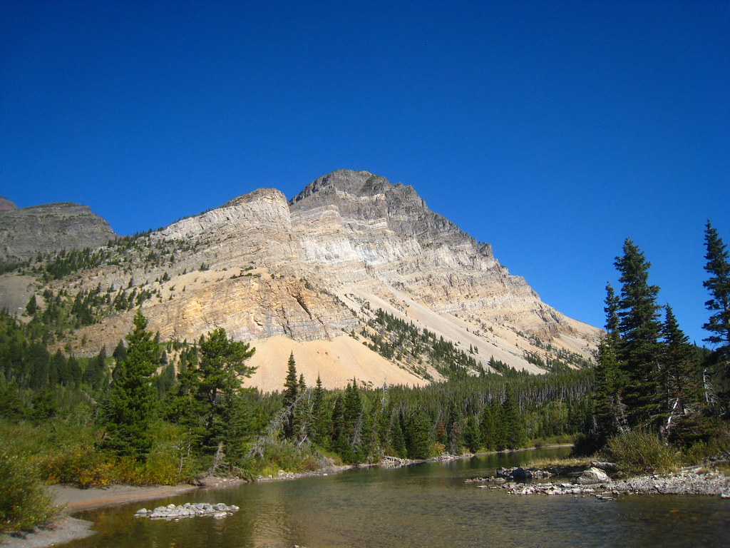 Bear Mountain Lookout TrailHikingPhoto: cm195902, CC BY 2.0 (via Flickr)3.7 mi
- Cosley Lake CutoffHiking4.1 mi
 North Fork Belly River TrailHikingPhoto: cm195902, CC BY 2.0 (via Flickr)4.1 mi
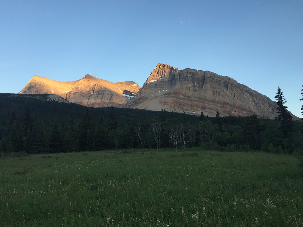 Gable Pass TrailHikingPhoto: yancy9, CC BY 2.0 (via Flickr)4.3 mi
- Belly River TrailHikingPhoto: cm195902, CC BY 2.0 (via Flickr)4.3 mi
- Belly Ranger Station TrailHiking5 mi
 Goat Haunt Overlook TrailHikingPhoto: Greg Willis from Denver, CO, usa, CC BY-SA 2.0 (via Wikimedia Commons)5.8 mi
- Rainbow Falls TrailHikingPhoto: Greg Willis from Denver, CO, usa, CC BY-SA 2.0 (via Wikimedia Commons)6.2 mi
 Grinnell FallsWaterfallPhoto: Roy Luck, CC BY 2.0 (via Wikimedia Commons)~26 min drive
 Bird Woman FallsWaterfallPhoto: Martin Kraft, CC BY-SA 3.0 (via Wikimedia Commons)~32 min drive
 Oberlin FallsWaterfallPhoto: GlacierNPS, Public domain (via Wikimedia Commons)~34 min drive
 Monument FallsWaterfallPhoto: GlacierNPS, Public domain (via Wikimedia Commons)~39 min drive
 Lower Bertha FallsWaterfallPhoto: R. Sieben, CC BY 3.0 (via Wikimedia Commons)~14 min drive
 Cameron FallsWaterfallPhoto: Tiado, CC BY-SA 3.0 (via Wikimedia Commons)~14 min drive
 Apikuni FallsWaterfallPhoto: KimonBerlin, CC BY-SA 2.0 (via Wikimedia Commons)~22 min drive
- Gros Ventre FallsWaterfall~6 min drive
- Dawn Mist FallsWaterfall~9 min drive
- Atsina FallsWaterfall~14 min drive
Conditions and forecast
Daily highs and lows, wind and the chance of precipitation at Miche Wabun Falls for the next 7 days, from the Open-Meteo model.

Ask about this place
Questions about Miche Wabun Falls: conditions, access, timing. Answers say when something isn't known.
