

Peak Mountain Guides
Skiing business nearby (~17 mi away) — hasn't claimed their Roamze page yet

Colorado
Free — you'll pick up right here.
0.3 mi
Distance
24 ft
Gain
An agency closure order is in effect for this area; weather is marginal
3 factors · 3 sources
Newest 3 h ago · oldest 1 d
problem: Agency alerts
36 active alerts in Grand Mesa, Uncompahgre and Gunnison National Forests; most severe: Gold Mountain Wildfire Roads and Trails Closure Order v 4.0
USFSPosted Sep 15 · checked 3 h ago
clear: Snowpack
Alta Lakes SNOTEL (4 mi away): 0" snow depth
SNOTEL1 d ago
caution: Weather
Rain, high 64°F / low 41°F, 66% precip — 52/100 for cross country skiing
OpenWeather3 h ago
Been out here in the last few days? One report keeps this current for everyone.
Matterhorn Campground Road
Suggested plan · check conditions before you go
Matterhorn Campground Road is a 0.28-mile route in Colorado with 52 feet of elevation gain.
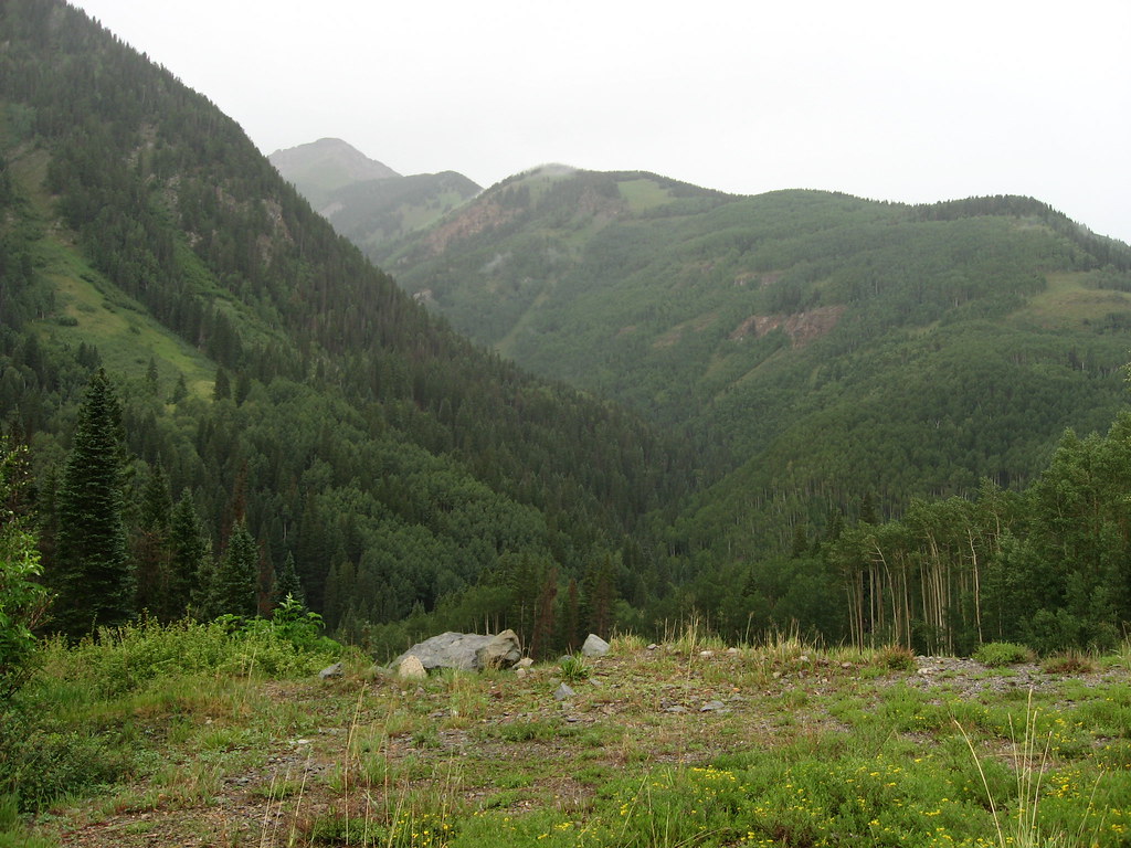
 Photo: Kurt Bauschardt from Edmonton, Canada, CC BY-SA 2.0 (via Wikimedia Commons)
Prospect Loop
~8 min drive
0.85-mile loop with 336 ft gain in Colorado.
 Photo: Ken Lund from Reno, Nevada, USA, CC BY-SA 2.0 (via Wikimedia Commons)
Boulevard
~11 min drive
0.97-mile cross-country ski trail in Colorado with 299 ft of elevation gain.
 Photo: Murray Foubister, CC BY-SA 2.0 (via Wikimedia Commons)
Telluride Ski Area
~9 min drive
Telluride Ski Area in Colorado has 20 lifts and 107 runs, 18 easy, 41 intermediate, 24 advanced, 23 expert, 3,891 ft vertical drop.
 Photo: Ken Lund from Reno, Nevada, USA, CC BY-SA 2.0 (via Wikimedia Commons)
Silver Pick Road
~12 min drive
Gentle 2.18-mile road-based ski tour in Colorado backcountry.
 Photo: Doss Imaging, CC BY 3.0 (via Wikimedia Commons)
North Loop
~25 min drive
North Loop is a 1.85-mile cross-country ski trail in Colorado with 227 feet of elevation gain.
P Lake Ski Gravel Pit
~0 min drive
0.41-mile out-and-back ski route at P Lake Ski Gravel Pit in Colorado.
 Photo: Sandy Horvath-Dori from Grand Junction, CO, USA, CC BY 2.0 (via Wikimedia Commons)
Colorado Boy
~21 min drive
0.33-mile trail in Colorado with 88 ft of elevation gain.
Photo: Ken Lund from Reno, Nevada, USA, CC BY-SA 2.0 (via Wikimedia Commons)Upper Valley Floor
~12 min drive
0.70-mile cross-country ski trail in Colorado with 243 ft of elevation gain.
 Photo: Zach Dischner, CC BY 2.0 (via Wikimedia Commons)
Silverton Mountain
~21 min drive
Silverton Mountain in Colorado has 1 advanced downhill run with 714 ft vertical.
Photo: Doss Imaging, CC BY 3.0 (via Wikimedia Commons)Boyce Lake Loop
~25 min drive
0.94-mile cross-country ski loop with 158 ft gain in Colorado.
Map and trail data © OpenStreetMap contributors
Local operatorsoffering guided trips. You book directly with them — Roamze doesn’t take a cut.
Peak Mountain Guides
Skiing business nearby (~17 mi away) — hasn't claimed their Roamze page yet
Cedar Creek RV Park and Lodging
Skiing business nearby (~44 mi away) — hasn't claimed their Roamze page yet
