Libby Area
- May–Jun, Aug–Oct
- best months
Is Libby Area open right now?
Closure in the area
There's a closure order in Kootenai National Forest. It doesn't name Libby Area, so check the source for the area it covers.
Kootenai Flood Event & Inaccessible Areas
Agency closure covering Kootenai National Forest · USFS · Kootenai National Forest
Updated Skillet Fire Area, Road, Trail Closure
Agency alert covering Kootenai National Forest · Order 01-10- · USFS · Kootenai National Forest
Trail Advisory-Alexander Mountain Trail near Timber Harvest Activities
Agency alert covering Libby Ranger District · USFS · Libby Ranger District
Timberlane Campground Closure
Agency alert covering Libby Ranger District · Order 01-14-05-26-03 · USFS · Libby Ranger District
As of · Source: USFS · Kootenai National Forest. Agencies don't list every closure — check before you go.
The Libby Area has the Kootenai River from Libby Dam to Troy running through the heart of it. The Kootenai River is identified as a “blue ribbon trout stream”. The Purcell Range is located north of the River and features numerous peaks at 6000’ elevation. Turner Mountain Ski Area is located 22 miles north of Libby, providing 2200’ of vertical and 1000 acres of terrain for alpine skiing. The Cabinet Mountains are located south of the River with many peaks at 7500’ elevation. Snowshoe Peak at 8738’ is the tallest peak on the Kootenai National Forest. The Cabinet Mountains Wilderness located in this area provides visitors with self challenge, spiritual renewal, solitude, alpine scenery, and the opportunity to view unique wildlife (grizzly bear, mountain goat, wolverine, Canadian lynx, and peregrine falcons) and wildflowers. Over 132 species of wildflowers have been found in the Wilderness. Access into the Wilderness is by one of many non-motorized hiking trails. Kootenai Falls located 10 miles downstream of Libby is the last undammed falls on the Kootenai River. Located adjacent to US Highway 2, it is the most highly viewed scenic attraction on the Forest. Libby Dam located 17 miles upstream from Libby, forms 90 mile long Lake Koocanusa. More than 400 miles of summer use trail are open and available in the Libby Area. Over 60 miles of snowmobile trail and 15 miles of X-C ski are regularly groomed from December through March. Four developed campgrounds provide facilities for camping and picnicking. The Libby Area provides the nation’s first lookout tower available for public rental at Big Creek Baldy Mountain.
Local outfitters
- Kootenai River Campground24 mi away
- Indian Springs Montana49 mi away
Not on Roamze yet. Their page has how to reach them.
Best time to go · May–Jun, Aug–Oct
Best time to visit Libby Area
Best months: May–June and August–October. Best months have typical highs of 55–85 °F, lows of 30 °F or warmer (32 °F where the station doesn't record snow), at most one snowy day and no more than 12 wet days.
Jan
32° / 21°
Feb
37° / 21°
Mar
48° / 26°
Apr
58° / 31°
May
69° / 39°
Jun
76° / 45°
Jul
87° / 49°
Aug
84° / 48°
Sep
72° / 40°
Oct
55° / 32°
Nov
38° / 27°
Dec
31° / 21°
Typical high / low (°F) and days with rain or snow, 1991–2020. Measured at Libby, MT, 7.1 mi away at 2,140 ft. This station doesn't record snowfall. Source: NOAA NCEI U.S. Climate Normals 1991–2020.
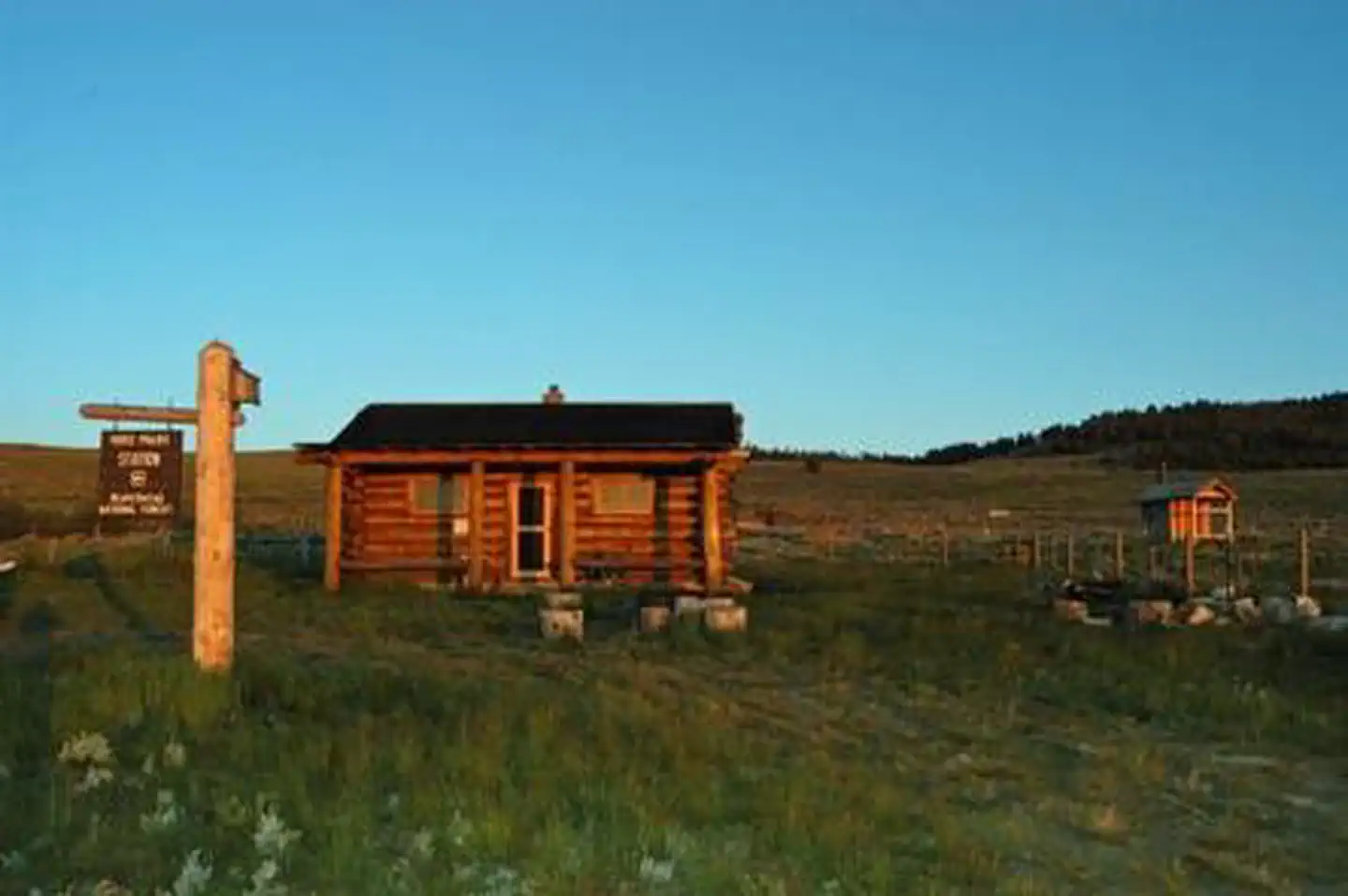

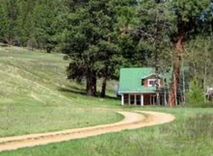
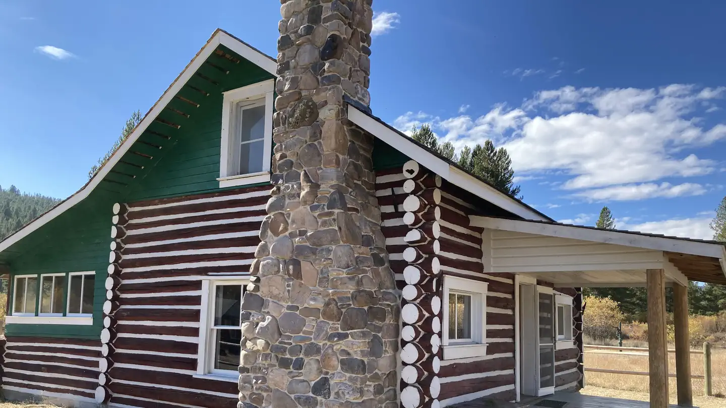
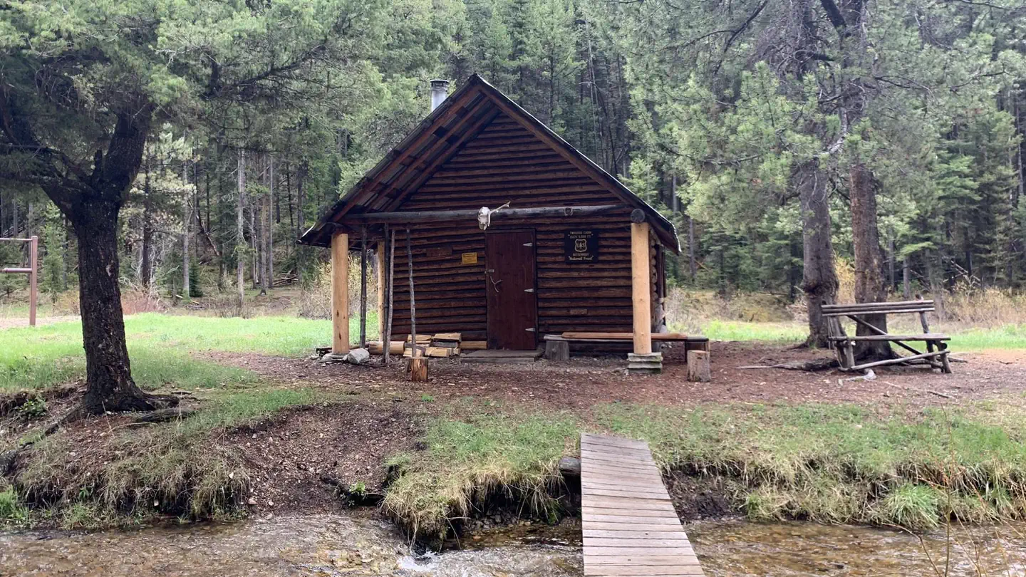
Keep exploring — more waters worth the drive
SEE
Spyglass Ground House
~1h 15m drive
SEE
Wishbone Lake
~15 min drive
Wishbone Lake is a 16-acre lake near Libby, Montana, at about 5,410 feet. It is managed by the U.S. Forest Service.
SEE
Kootenai River
~21 min drive
Kootenai River is a river in Montana.
SEE
Fisher River Area
~39 min drive
SEE
Tepee Lake
~17 min drive
Tepee Lake is an 8-acre lake near Libby, Montana, at about 4,181 feet. It is managed by the U.S. Forest Service.
SEE
Clark Fork River Area
~41 min drive
SEE
Upper Cedar Lake
~21 min drive
Upper Cedar Lake is a 65-acre lake near Libby, Montana, at about 5,895 feet. It is managed by the U.S. Forest Service.
SEE
Barron Creek Boating Site
~33 min drive
SEE
#423 Grouse Lake
~31 min drive
SEE
Bull Lake Area
~31 min drive
