

Rancho Del Rio
Hiking business nearby (~24 mi away) — hasn't claimed their Roamze page yet

Colorado
Free — you'll pick up right here.
10.0 mi
Distance
5,624 ft
Gain
Final 0.9 mi off-trail
No mapped path. Route-finding required. It climbs about 2,268 ft. The dashed line is a straight-line guide, not a route.
We won't guess. Here is exactly what we do and don't know.
What we do know
Inside White River National Forest
2 managing-area boundaries mapped — agency alerts for them feed this page automatically.
Boundary data
What's missing
No access route mapped
We don't yet know which road reaches this trailhead, so we can't tell you if it's gated.
Nobody's filed a report here yet — be the first.
Why you'll love it
Grand Traverse
Suggested plan · check conditions before you go
Profile ends where the mapped trail ends. The last 0.9 mi is off-trail.
Grand Traverse rises to 13,061 ft in Colorado. This route starts at Gore Valley Trail and covers 10.0 miles round trip with about 5,624 ft of climbing. The mapped trail ends 0.9 miles and about 2,268 ft short of the summit; the final stretch is off-trail with no mapped path and needs route-finding.
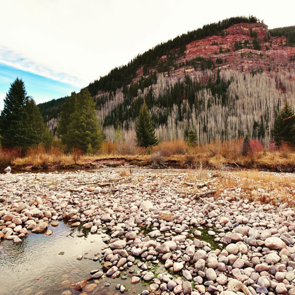 Photo: Scott McLeod, CC BY 2.0 (via Flickr)
Vail - Frisco Rec Path
~3 min drive
16.19-mile out-and-back trail in Colorado with 1,785 ft gain and 10,519 ft max elevation.
Photo: toastal_OLD, CC BY 2.0 (via Flickr)East Partner Peak
~0 min drive
Route to the summit of East Partner Peak (13,058 ft) from Gore Valley Trail.
 Photo: KimonBerlin, CC BY-SA 2.0 (via Flickr)
Trail near Shrine Pass
~11 min drive
0.19-mile lollipop trail near Shrine Pass in Colorado with 34 ft of elevation gain.
Son of Middle Creek
~8 min drive
8.26-mile out-and-back trail in Colorado with 1,596 ft gain and max elevation 9,684 ft.
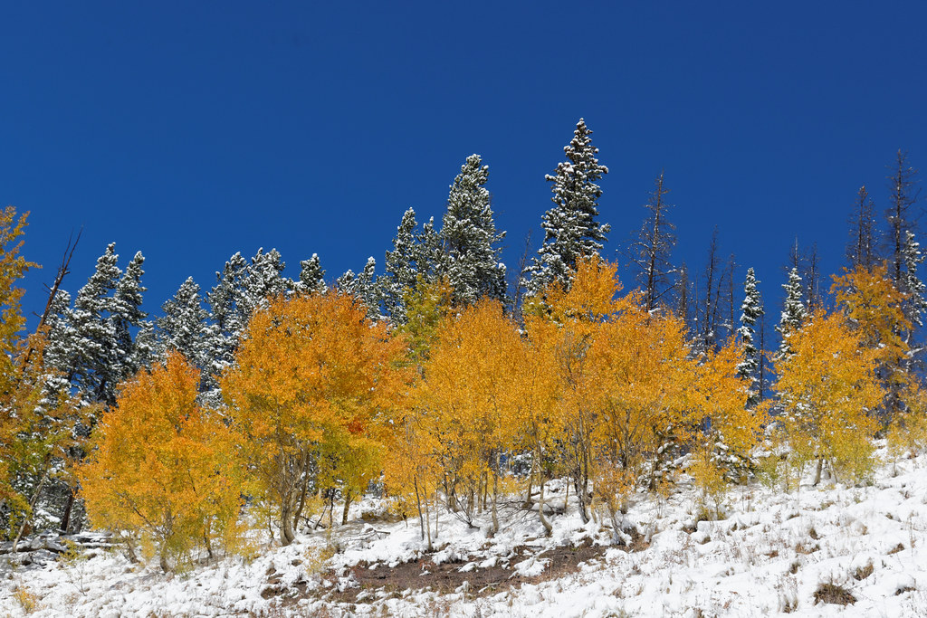 Photo: KimonBerlin, CC BY-SA 2.0 (via Flickr)
Bowman's Shortcut
~10 min drive
7.80-mile out-and-back trail in Colorado with 849 ft elevation gain.
Photo: toastal_OLD, CC BY 2.0 (via Flickr)West Partner Peak
~2 min drive
Route to the summit of West Partner Peak (13,054 ft) from the trailhead.
Vail Trail
~4 min drive
Vail Trail is a 1.46-mile trail in Colorado with 200 ft of elevation gain.
Game Creek
~8 min drive
8.29-mile out-and-back trail in Colorado with 2,151 ft gain.
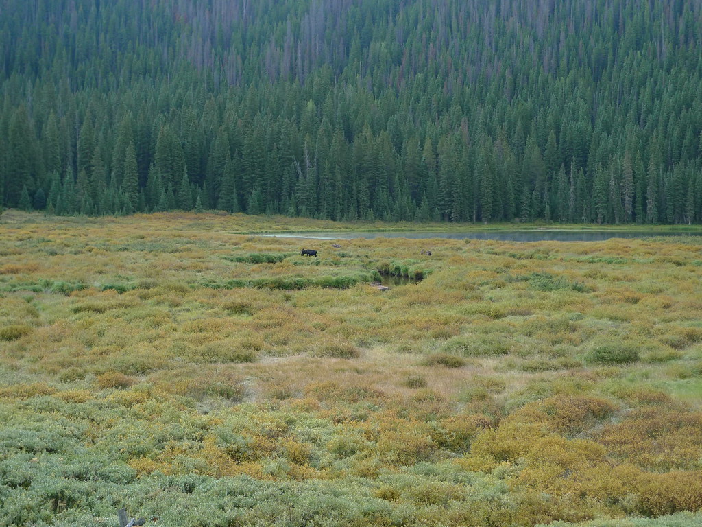 Photo: jl_2, CC BY-SA 2.0 (via Flickr)
Lost Lake
~11 min drive
8.45-mile out-and-back trail to Lost Lake in Colorado, 227 ft gain, 10,263 ft max elevation
Mount Solitude
~0 min drive
Route to the summit of Mount Solitude (13,084 ft) from Gore Valley Trail.
© openrouteservice.org by HeiGIT | Map data © OpenStreetMap contributors
Local operatorsoffering guided trips. You book directly with them — Roamze doesn’t take a cut.
Rancho Del Rio
Hiking business nearby (~24 mi away) — hasn't claimed their Roamze page yet
Lostfork Basecamp
Hiking business nearby (~36 mi away) — hasn't claimed their Roamze page yet
Camp Always Choose Adventures
Hiking business nearby (~41 mi away) — hasn't claimed their Roamze page yet
