Gallatin River
At a glance
Gallatin River is a campground in Wyoming at about 7,431 feet, with 10 sites. It is managed by the National Park Service.
- sites
- 10
- fee
- Yes
- best months
- Early Jun–mid-Sep
Where it is: Yellowstone National Park
Near: Mammoth · 14 mi
Best weeks to go
Early June to mid-September is usually best for camping here.
Typical highs of 66–83°F and lows of 40°F or warmer in those weeks. Rain falls on about 45% of days at the wettest of them, so plan around showers.
Typical weather: NOAA 1991–2020 normals at Yellowstone Park Mammoth, WY, 14 mi away. Not a forecast.
Typical weather by monthBest time to visit Gallatin River
Best months: June–September. Best months are the ones mostly made of the best weeks for camping: typical temperatures in its comfortable range, few snowy days and not usually wet, judged with the same limits as our good-day forecasts.
Jan
31°
12°
11 wet · 9 snow
Feb
34°
12°
11 wet · 9 snow
Mar
42°
19°
11 wet · 7 snow
Apr
50°
26°
11 wet · 5 snow
May
60°
35°
13 wet · 2 snow
Jun
69°
42°
13 wet
Jul
81°
48°
10 wet
Aug
80°
47°
9 wet
Sep
69°
39°
9 wet · 1 snow
Oct
54°
29°
9 wet · 3 snow
Nov
39°
19°
10 wet · 7 snow
Dec
30°
12°
12 wet · 10 snow
Typical high / low (°F) and days with rain or snow, 1991–2020. Measured at Yellowstone Park Mammoth, WY, 13.9 mi away at 6,195 ft. The station sits about 1,200 ft lower than this place, so expect it a little cooler here. Source: NOAA NCEI U.S. Climate Normals 1991–2020.
Been here? Tell people how it was.
- Fawn Pass-Bighorn Pass Cutoff TrailHiking0.1 mi
 Gray PeakSummitPhoto: Bryan Harry, Public domain (via Wikimedia Commons)4.5 mi
 Fawn Pass TrailHikingPhoto: hesyifei, CC BY-SA 2.0 (via Flickr)4.8 mi
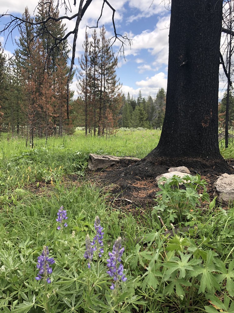 Fawn Pass Spur/Bacon Rind TH TrailHikingPhoto: Forest Service - Northern Region, Public Domain Mark (via Flickr)5.2 mi
 Bannock PeakSummitPhoto: Chris M Morris, CC BY 2.0 (via Wikimedia Commons)5.3 mi
- Bacon Rind Creek TrailHikingPhoto: Forest Service - Northern Region, Public Domain Mark (via Flickr)5.4 mi
- Grayling CreekCanoeing6.7 mi
 Echo PeakSummitPhoto: J. P. Iddings, Public domain (via Wikimedia Commons)7.2 mi
- Cabin Creek CabinCamping~20 min drive
- Upper Gallatin River StockCamping~2 min drive
- Upper Gallatin RiverCamping~3 min drive
- Lower Fan CreekCamping~7 min drive
- Fan CreekCamping~8 min drive
- North Fork Fan CreekCamping~8 min drive
- Sportsman Lake MeadowCamping~12 min drive
- High Lake/Sportsman JctCamping~12 min drive
- Sportsman LakeCamping~12 min drive
- Specimen Creek JctCamping~14 min drive
Also worth it near here
Conditions and forecast
Daily highs and lows, wind and the chance of precipitation at Gallatin River for the next 7 days, from the Open-Meteo model.

Ask about this place
Questions about Gallatin River: conditions, access, timing. Answers say when something isn't known.
- 10 sites for tent campingReservable on Recreation.gov
- At 7,431 ft
- Yellowstone National Park
Local outfitters
- Buffalo Crossing RV Park19 mi away
- Tiny Town Campground33 mi away
Not on Roamze yet. Their page has how to reach them.
Map and trail data © OpenStreetMap contributors
