Darbytown Falls
At a glance
Darbytown Falls is a waterfall in Pennsylvania, set within the Upper Delaware Scenic and Recreational River. It sits at about 888 feet, and the nearest town is Narrowsburg, New York, about 1.4 miles away. Late spring and early fall are the most comfortable times to visit. Typical averages from a nearby weather station in Milanville, Pennsylvania, run to highs around 71°F in May and 74°F in September, while July highs average about 82°F and January highs sit near 33°F. Several trails lie within a few miles. Damascus Forest Trail is about 2.2 miles away, and Cobey Pond Trail is about 3.3 miles away. Tusten Mountain Trail is about 4.6 miles away, and Honesdale Cliff Boulders, a climbing area, is about 9.3 miles away.
- elevation
- 888 ft
- best months
- Apr–Oct
Where it is: Upper Delaware Scenic and Recreational River
Near: Narrowsburg · 1.4 mi
Best time to visit Darbytown Falls
Best months: April–October. Best months have typical highs of 55–85 °F, lows of 30 °F or warmer (32 °F where the station doesn't record snow), at most one snowy day and no more than 12 wet days.
Jan
33°
15°
Feb
37°
17°
Mar
45°
24°
Apr
59°
35°
May
71°
45°
Jun
78°
54°
Jul
82°
59°
Aug
80°
57°
Sep
74°
49°
Oct
62°
39°
Nov
49°
29°
Dec
38°
21°
Typical high / low (°F) and days with rain or snow, 1991–2020. Measured at Milanville, PA, 4.6 mi away at 760 ft. This station doesn't record snowfall. Source: NOAA NCEI U.S. Climate Normals 1991–2020.
Been here? Tell people how it was.
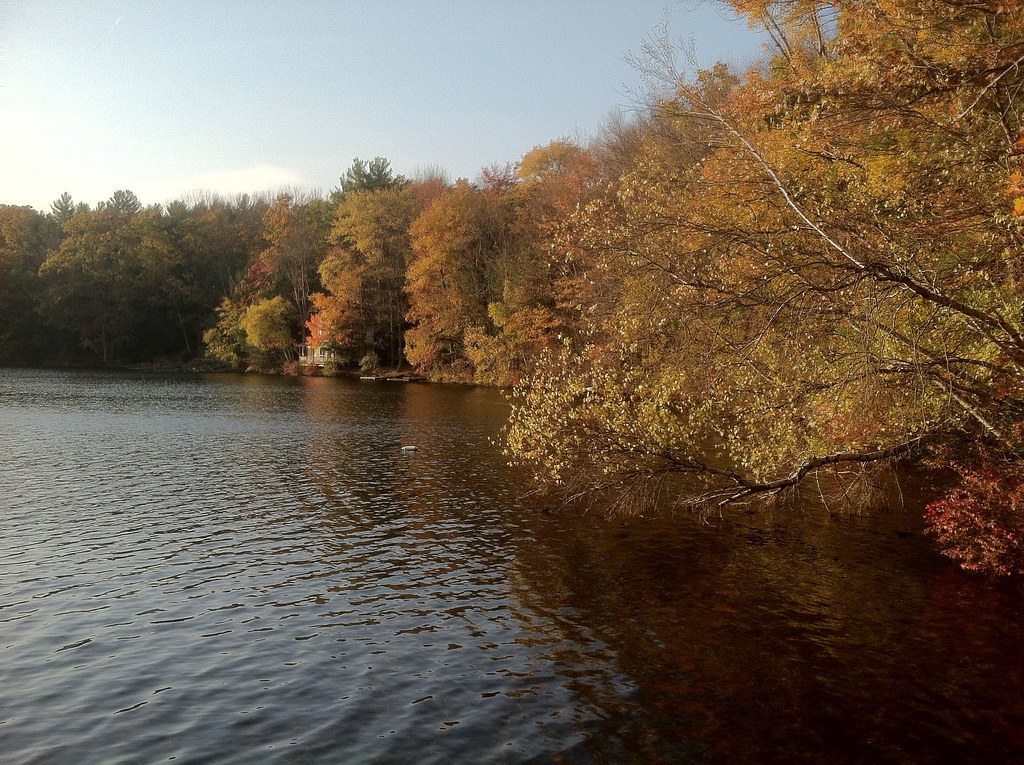 Damascus Forest TrailHikingPhoto: GWP Photography, CC BY 2.0 (via Flickr)2.2 mi
- Cobey Pond TrailHiking3.3 mi
 Tusten Mountain TrailHikingPhoto: Kether83, CC BY-SA 4.0 (via Wikimedia Commons)4.6 mi
- Honesdale Cliff BouldersRock climbing9.3 mi
 Minisink Battleground Park TrailHikingPhoto: Beyond My Ken, CC BY-SA 4.0 (via Wikimedia Commons)10 mi
 Raymondskill FallsWaterfallPhoto: G. Edward Johnson, CC BY 4.0 (via Wikimedia Commons)~43 min drive
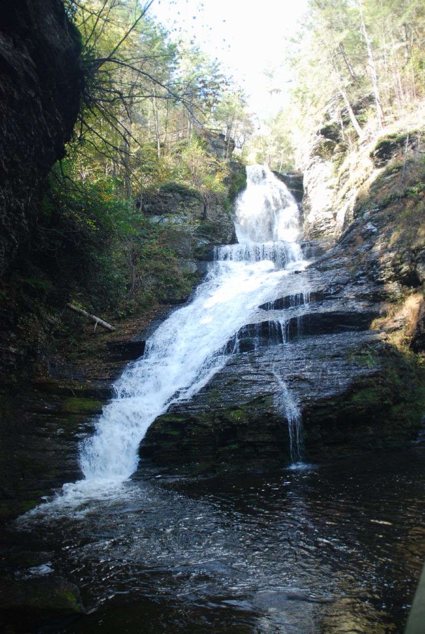 Dingmans FallsWaterfallPhoto: Giang, CC BY 2.0 (via Wikimedia Commons)~47 min drive
 Silverthread FallsWaterfallPhoto: Doug Kerr from Albany, NY, United States, CC BY-SA 2.0 (via Wikimedia Commons)~48 min drive
 Bushkill FallsWaterfallPhoto: Snagglepuss at English Wikipedia, Public domain (via Wikimedia Commons)~58 min drive
 Verkeerder Kill FallsWaterfallPhoto: Ankafm87, CC BY-SA 3.0 (via Wikimedia Commons)~1h 7m drive
- Wangum FallsWaterfall~20 min drive
- Ridgeway FallsWaterfall~22 min drive
- High FallsWaterfall~24 min drive
- Shohola FallsWaterfall~27 min drive
- Little FallsWaterfall~37 min drive
Conditions and forecast
Daily highs and lows, wind and the chance of precipitation at Darbytown Falls for the next 7 days, from the Open-Meteo model.
Ask about this place
Questions about Darbytown Falls: conditions, access, timing. Answers say when something isn't known.
