Free — you'll pick up right here.
Watch this water
Sign up to watch it — saving subscribes you to gate, closure and report changes.
Georgia
Chattooga River District
No verdict for this water
We won't guess. Here is exactly what we do and don't know.
What we do know
Inside Chattahoochee-Oconee National Forests
2 managing-area boundaries mapped — agency alerts for them feed this page automatically.
Boundary data
What's missing
No access route mapped
We don't yet know which road reaches this trailhead, so we can't tell you if it's gated.
Nobody's filed a report here yet — be the first.
Why you'll love it
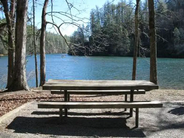

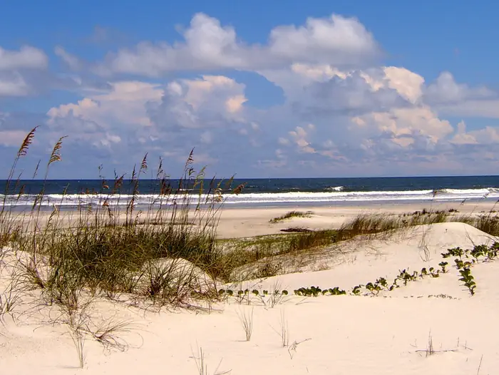
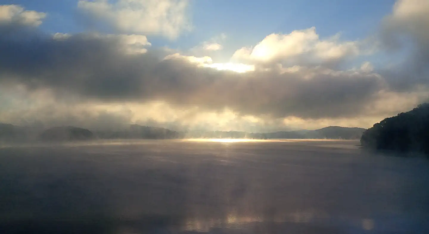
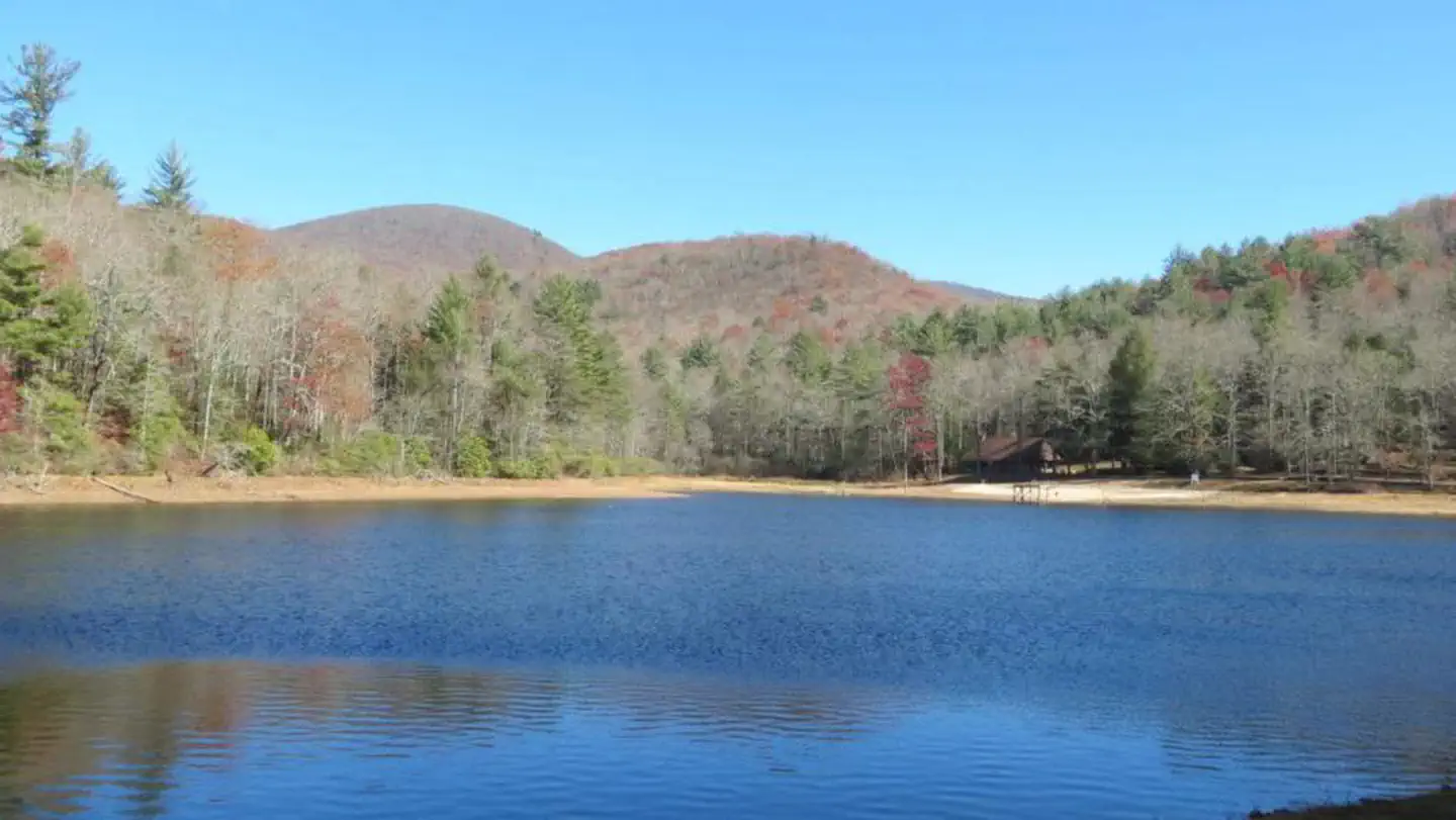
Here's your day on the water, mapped
Chattooga River District
AI-suggested draft · review before you go
Gear for the day
Photos
Directions & GPX
About this water
The Chattooga River Ranger District covers 261,035 acres in the northeast part of Georgia. Terrain ranges from the Piedmont in the southern part of the district to Georgia's second highest mountain, Rabun Bald at 4,696 feet above sea level. To the east is the Chattooga Wild and Scenic River. In the central part of the district are Lake Burton, Seed Lake, and Lake Rabun where you'll find the Rabun Beach Campground. In the western part of the district are the headwaters of the Chattahoochee River and the Upper Chattahoochee River Campground. The Appalachian National Scenic Trail passes through the district. There are many waterfalls across the district including the twin waterfalls of Anna Ruby Falls Scenic Area. Take your time exploring the district on this website and feel free to give them a call for more information.Looking southeast from the Dukes Creek Falls recreation area we see Mount Yonah in the distance about 6 miles away.
Add to a trip & share
Keep exploring — more waters worth the drive
Lake Rabun Beach Recreation Area
~8 min drive
A worthwhile stop near Georgia.
Cherry Hill Campground
~37 min drive
A worthwhile stop near South Carolina.
Van Hook Glade
~41 min drive
A worthwhile stop near North Carolina.
Broyles
~1h 2m drive
A worthwhile stop near South Carolina.
Warwoman Creek
~17 min drive
Moderate
Cassidy Bridge Primitive Camp
~19 min drive
A worthwhile stop near South Carolina.
Chattooga River (South Carolina Section)
~36 min drive
Hard
Lake Hartwell - Tugaloo River Arm
~43 min drive
Easy
Twin Lakes Day Use Area
~29 min drive
A worthwhile stop near South Carolina.
Standing Indian Campground
~41 min drive
A worthwhile stop near North Carolina.


