Camp Hazard
Campground
< 0.1 mi from the trail
Camp Hazard is a campground in Washington at about 11,651 feet. It is managed by the National Park Service.
Where it is: Mount Rainier Wilderness · Mount Rainier National Park
Near: Enumclaw
Been here? Tell people how it was.
 Gibraltar RockSummitPhoto: Buidhe, CC BY-SA 4.0 (via Wikimedia Commons)1 mi
 Comet FallsWaterfallPhoto: J Brew, CC BY-SA 2.0 (via Wikimedia Commons)2.9 mi
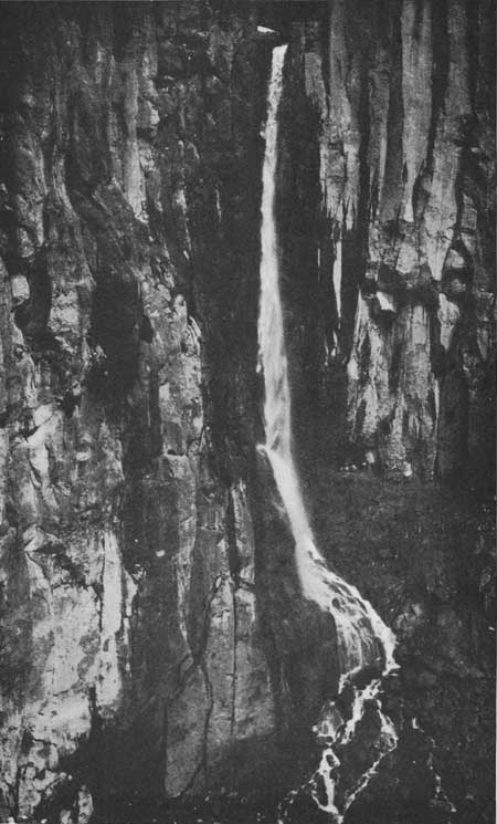 Pearl FallsWaterfallPhoto: National Park Service, Public domain (via Wikimedia Commons)3 mi
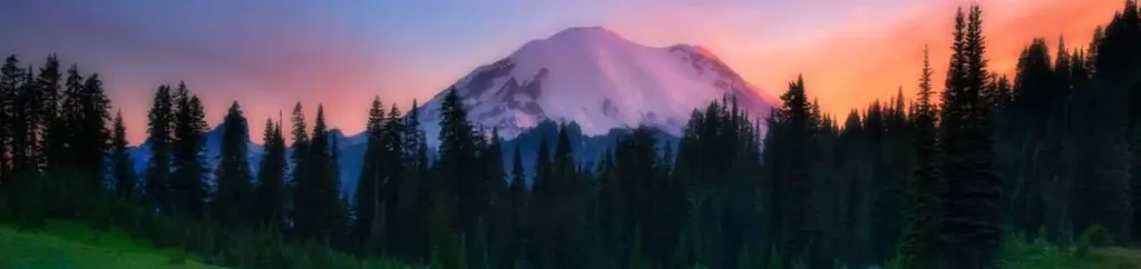 Cougar Rock CampgroundCampingPhoto: Recreation.gov (RIDB) / public domain5 mi
 Nisqually RiverCanoeingPhoto: Ian Poellet, CC BY-SA 3.0 (via Wikimedia Commons)6.1 mi
 Glacier Basin CampCampingPhoto: pfly — CC BY-SA 2.0 (via Flickr)~8 min drive
 Camp SummerlandCampingPhoto: brewbooks — CC BY-SA 2.0 (via Flickr)~9 min drive
 Camp MuirCampingPhoto: Mitch from Costa Mesa, CA, USA, CC BY-SA 2.0 (via Wikimedia Commons)~2 min drive
 Mystic CampCampingPhoto: brewbooks — CC BY-SA 2.0 (via Flickr)~9 min drive
Also worth it near here
Gibraltar RockSummitPhoto: Buidhe, CC BY-SA 4.0 (via Wikimedia Commons)~2 min drive Mount RainierRock climbingPhoto: shinsain, CC BY-SA 2.0 (via Flickr)~2 min driveComet FallsWaterfallPhoto: J Brew, CC BY-SA 2.0 (via Wikimedia Commons)~5 min drive
 Mildred PointHikingPhoto: brewbooks — CC BY-SA 2.0 (via Flickr)~5 min drive
Daily highs and lows, wind and the chance of precipitation at Camp Hazard for the next 7 days, from the Open-Meteo model.
Questions about Camp Hazard: conditions, access, timing. Answers say when something isn't known.
Camp Hazard
Campground
 If it rainsSteven Pavlov, CC BY-SA 4.0 · Wikimedia Commons
Places © OpenStreetMap contributors · Photos: Steven Pavlov, CC BY-SA 4.0 (commons)
More in PackwoodNot on Roamze yet. Their page has how to reach them.
Map and trail data © OpenStreetMap contributors
