
Twin Lake Backcountry Camp
Campground
0.6 mi from the trail
Bearhead Mountain is a summit of 6,092 feet in the Clearwater Wilderness, part of the Snoqualmie Ranger District of Mt. Baker-Snoqualmie National Forest in Washington. The nearest town is Carbonado, about 12 miles away. Summer is the most comfortable time to go. Typical averages from a nearby weather station at a similar elevation show July and August highs around 62 to 64°F with lows in the mid-40s, while winter highs stay in the low to mid 30s. The Bearhead Trail starts just 0.4 miles from the summit, and the Summit Lake Trail is 0.7 miles away. Paddlers can reach the Clearwater River about 3 miles off and the Carbon River about 4 miles away.
Where it is: Clearwater Wilderness · Snoqualmie Ranger District
Near: Auburn
Best months: July–September. Best months have typical highs of 55–85 °F, lows of 30 °F or warmer (32 °F where the station doesn't record snow), at most one snowy day and no more than 12 wet days.
Jan
34°
24°
Feb
34°
23°
Mar
36°
24°
Apr
40°
26°
May
48°
33°
Jun
54°
37°
Jul
62°
44°
Aug
64°
45°
Sep
57°
41°
Oct
46°
33°
Nov
37°
26°
Dec
33°
22°
Typical high / low (°F) and days with rain or snow, 1991–2020. Measured at Rainier Paradise Rs, WA, 16.8 mi away at 5,427 ft. The station sits about 700 ft lower than this place, so expect it a little cooler here. This station doesn't record snowfall. Source: NOAA NCEI U.S. Climate Normals 1991–2020.
Campfire Ban in Effect Forest-wide
Mt. Baker-Snoqualmie National Forest · Order dated July 21, 2026; seen Aug 23, 2026 → lifted Sep 15, 2026 · Forest Service
Been here? Tell people how it was.
 Bearhead TrailHikingPhoto: justin prince, CC BY-SA 3.0 (via Wikimedia Commons)0.4 mi
 Summit Lake TrailHikingPhoto: Steven Pavlov, CC BY-SA 4.0 (via Wikimedia Commons)0.7 miSUMMIT LAKE TIE WITH CLEARWATEHikingPhoto: Steven Pavlov, CC BY-SA 4.0 (via Wikimedia Commons)1.3 miClearwater to Summit LakeHikingPhoto: Steven Pavlov, CC BY-SA 4.0 (via Wikimedia Commons)1.6 mi
 Carbon RiverCanoeingPhoto: Public domain (via Wikimedia Commons)3.8 mi
 Tolmie PeakSummitPhoto: Ricardo Martins from Gent, Belgium, CC BY 2.0 (via Wikimedia Commons)~9 min drive
 Marcus PeakSummitPhoto: Ron Clausen, CC BY-SA 4.0 (via Wikimedia Commons)~20 min drive
 Dege PeakSummitPhoto: Walter Siegmund (talk), CC BY-SA 3.0 (via Wikimedia Commons)~21 min drive
 Pinnacle PeakSummitPhoto: Ron Clausen, CC BY-SA 4.0 (via Wikimedia Commons)~22 min drive
 Little Tahoma PeakSummitPhoto: Thomas Loarie II (talk · contribs), CC BY-SA 3.0 (via Wikimedia Commons)~22 min drive
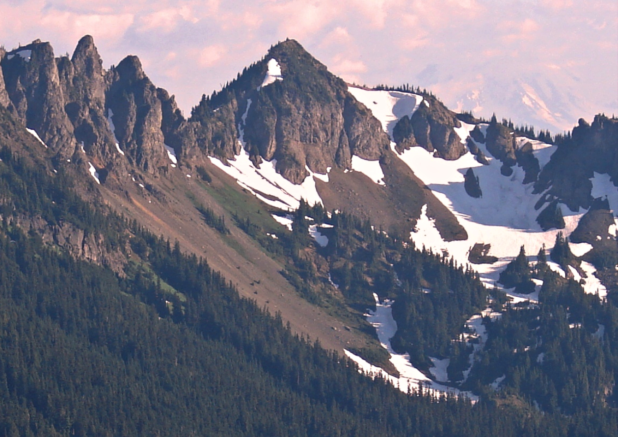 Barrier PeakSummitPhoto: Steve Redman (MORA), Public domain (via Wikimedia Commons)~27 min drive
 Yakima PeakSummitPhoto: Ron Clausen, CC BY-SA 4.0 (via Wikimedia Commons)~30 min drive
 Naches PeakSummitPhoto: Ron Clausen, CC BY-SA 4.0 (via Wikimedia Commons)~31 min drive
 Eagle PeakSummitPhoto: Ron Clausen, CC BY-SA 4.0 (via Wikimedia Commons)~32 min drive
 Lane PeakSummitPhoto: Ron Clausen, CC BY-SA 4.0 (via Wikimedia Commons)~32 min drive
Also worth it near here
Daily highs and lows, wind and the chance of precipitation at the summit and route start for the next 7 days, from the Open-Meteo model.
6,092 ft (1,857 m).
One: Bearhead Trail.
Questions about Bearhead Mountain: conditions, access, timing. Answers say when something isn't known.
Twin Lake Backcountry Camp
Campground
 If it rainsSteven Pavlov, CC BY-SA 4.0 · Wikimedia Commons
Places © OpenStreetMap contributors · Photos: Steven Pavlov, CC BY-SA 4.0 (commons)
More in Greenwater