

Alder Guard Station
Campground
3.6 mi from the trail
 Photo: Jeffrey Beall, CC BY 4.0 (via Wikimedia Commons)
Agua Ramon Mountain is a summit of about 10,881 feet in Rio Grande County, Colorado, within the Divide Ranger District of the Rio Grande National Forest. The nearest town is Alpine, about 3 miles away. Summer is the most comfortable time to visit. Typical July highs reach about 72°F with lows near 40°F, based on averages from a nearby weather station at a similar elevation. That station sits a few hundred feet lower, so temperatures on the summit run a little cooler. Several trails start close by, including Bear Creek and Bear Creek Trail, each about 2 miles away. For an overnight base, Alder Guard Station is about 3.6 miles off. Cathedral Campground, roughly 6.4 miles away, offers another camping option.
Where it is: Divide Ranger District · Rio Grande National Forest
Near: Alpine · 2.9 mi
Best months: June and September. Best months have typical highs of 55–85 °F, lows of 30 °F or warmer (32 °F where the station doesn't record snow), at most one snowy day and no more than 12 wet days.
Jan
35°
2°
7 wet
Feb
36°
3°
7 wet
Mar
42°
12°
7 wet
Apr
48°
19°
7 wet
May
58°
27°
8 wet
Jun
68°
34°
7 wet
Jul
72°
40°
15 wet
Aug
70°
39°
15 wet
Sep
64°
33°
11 wet
Oct
55°
23°
7 wet
Nov
43°
13°
5 wet
Dec
34°
2°
7 wet
Typical high / low (°F) and days with rain or snow, 1991–2020. Measured at Santa Maria Rsvr, CO, 29.2 mi away at 9,687 ft. The station sits about 1,200 ft lower than this place, so expect it a little cooler here. This station doesn't record snowfall. Source: NOAA NCEI U.S. Climate Normals 1991–2020.
Been here? Tell people how it was.
We don't know of a mapped trail or route to the summit of Agua Ramon Mountain. Plan the approach with local maps, a guidebook or a local guide, and check conditions before you go.


 Eagle MountainSummitPhoto: Jeffrey Beall, CC BY 4.0 (via Wikimedia Commons)~20 min driveBennett PeakSummitPhoto: David Herrera, CC BY 2.0 (via Wikimedia Commons)~33 min drive
 Pintada MountainSummitPhoto: Leith Edgar / USFWS, Public domain (via Wikimedia Commons)~33 min driveSan Luis PeakSummitPhoto: Mikejonesman, CC BY-SA 3.0 (via Wikimedia Commons)~44 min drive
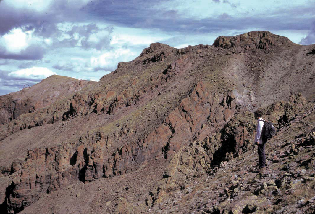 Stewart PeakSummitPhoto: P.W. Lipman, Public domain (via Wikimedia Commons)~47 min drive
 Conejos PeakSummitPhoto: Jeffrey Beall, CC BY 4.0 (via Wikimedia Commons)~52 min drive
 Pagosa PeakSummitPhoto: Jeffrey Beall, CC BY 4.0 (via Wikimedia Commons)~56 min drive
 Cochetopa DomeSummitPhoto: John Sowell, CC BY-SA 4.0 (via Wikimedia Commons)~60 min drive
 Cimarrona PeakSummitPhoto: Jeffrey Beall, CC BY 4.0 (via Wikimedia Commons)~1h 2m drive
 Calf Creek PlateauSummitPhoto: John Sowell, CC BY-SA 4.0 (via Wikimedia Commons)~1h 14m drive
Also worth it near here
Daily highs and lows, wind and the chance of precipitation at the summit for the next 7 days, from the Open-Meteo model.
10,881 ft (3,317 m).
We don't know of a mapped trail or route to the summit. Plan the approach with local maps, a guidebook or a local guide.
Questions about Agua Ramon Mountain: conditions, access, timing. Answers say when something isn't known.
Alder Guard Station
Campground
Rio Grande County Museum
Museum
Places © OpenStreetMap contributors, Places © Overture Maps Foundation
More in South Fork