Solana Hills Trail
At a glance
Solana Hills Trail is a short, easy out-and-back hike in California, about a mile from the community of Eden Gardens. The route is roughly 1.4 miles long, with a total elevation gain of 438 feet, and it reaches a high point of 271 feet. The climb is rolling, and the steepest stretch comes at about 0.4 miles, where the grade reaches 14 percent. The most comfortable months for a visit are late summer into early fall. Typical averages from a nearby weather station show highs around 76°F in August and September, with only one or two wet days a month. Winter stays mild, with highs in the mid-60s and lows in the upper 40s. The hike takes about half an hour to complete. The trail is close to several other outings, including the Nature Center Outer Loop, La Orilla Trail and the Salt Marsh Bird View trail, all within about a mile and a half. Climbers can find the Beacons Beach climbing area about 5 miles away.
- round trip
- 0.7 mi
- climb
- 438 ft
- high point
- 271 ft
- route
- Out and back
- time
- About 15 minutes
- best months
- Year-round
Near: Solana Beach
Best weeks to go
Weather here is usually good for hiking all year.
Typical weather: NOAA 1991–2020 normals at Carlsbad Palomar Ap, CA, 9 mi away. Not a forecast.
Typical weather by monthBest time to visit Solana Hills Trail
Best months: Year-round. Best months are the ones mostly made of the best weeks for hiking: typical temperatures in its comfortable range, few snowy days and not usually wet, judged with the same limits as our good-day forecasts.
Jan
65°
48°
7 wet
Feb
64°
49°
8 wet
Mar
65°
51°
8 wet
Apr
66°
53°
5 wet
May
68°
57°
3 wet
Jun
70°
60°
1 wet
Jul
74°
64°
1 wet
Aug
76°
65°
1 wet
Sep
76°
64°
2 wet
Oct
73°
59°
4 wet
Nov
69°
52°
6 wet
Dec
65°
47°
7 wet
Typical high / low (°F) and days with rain or snow, 1991–2020. Measured at Carlsbad Palomar Ap, CA, 8.9 mi away at 328 ft. This station doesn't record snowfall. Source: NOAA NCEI U.S. Climate Normals 1991–2020.
Been here? Tell people how it was.
 West Ridge DARHikingPhoto: Sergei Gussev, CC BY 3.0 (via Wikimedia Commons)~7 min drive
- Marsh TrailHiking~10 min drive
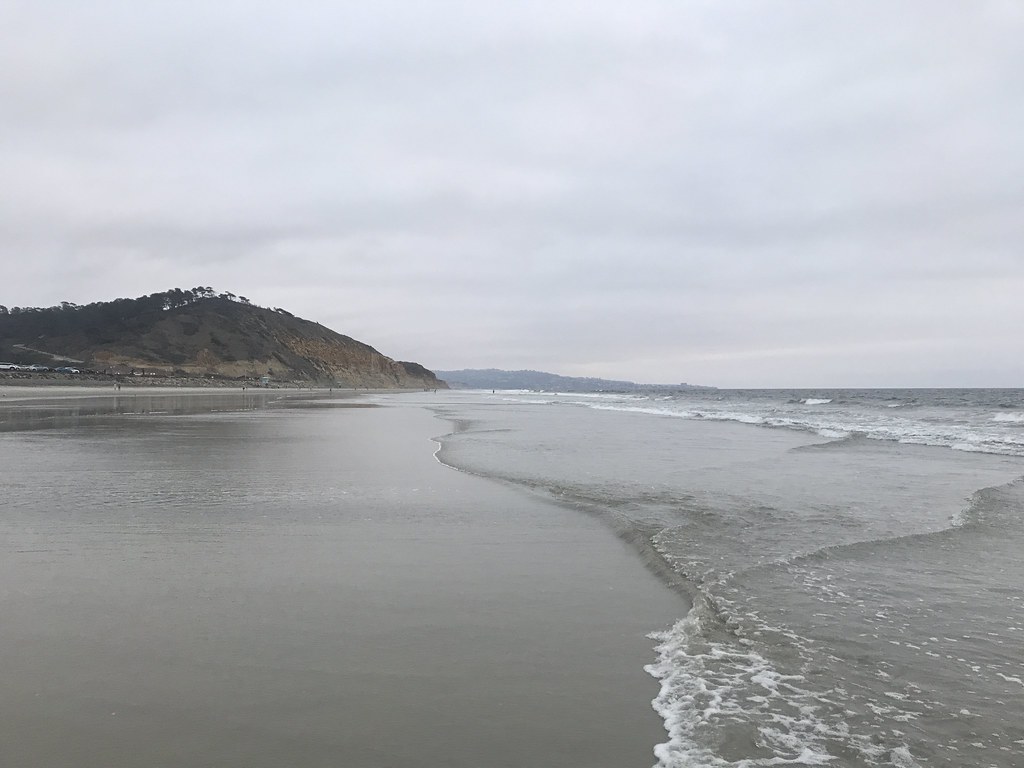 Red Ridge TrailHikingPhoto: 666isMONEY ☮ ♥ & ☠, CC BY 2.0 (via Flickr)~7 min drive
- Horned Lizard TrailHiking~11 min drive
 DAR TrailHikingPhoto: Sergei Gussev, CC BY 3.0 (via Wikimedia Commons)~7 min drive
- Margaret Fleming Nature TrailHikingPhoto: Sergei Gussev, CC BY 3.0 (via Wikimedia Commons)~7 min drive
 Water Tank TrailHikingPhoto: Tim Buss from North County, San Diego, California, USA, CC BY 2.0 (via Wikimedia Commons)~9 min drive
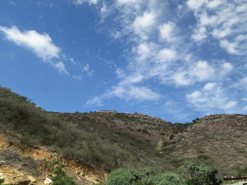 Santa Fe Valley TrailHikingPhoto: Oleg., CC BY 2.0 (via Flickr)~11 min drive
 N. Rim TrailHikingPhoto: sankeytms, CC BY-SA 2.0 (via Flickr)~11 min drive
- Del Dios Gorge TrailHikingPhoto: Oleg., CC BY 2.0 (via Flickr)~11 min drive
Also worth it near here
 San Elijo State BeachCampingPhoto: bossco — CC BY-SA 2.0 (via Flickr)~4 min drive
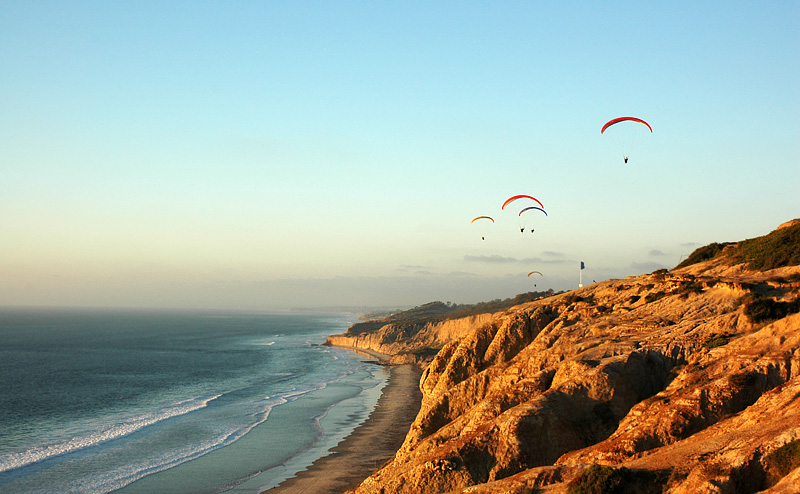 Torrey Pines State BeachBeachPhoto: Francis Lee Original uploader was Phier at en.wikipedia, CC BY-SA 3.0 (via Wikimedia Commons)~8 min drive
 Del PoconitosRock climbingPhoto: RightCowLeftCoast, CC BY-SA 4.0 (via Wikimedia Commons)~12 min drive
- San Dieguito RiverCanoeing~13 min drive
Conditions and forecast
Daily highs and lows, wind and the chance of precipitation at Start for the next 7 days, from the Open-Meteo model.
Ask about this place
Questions about Solana Hills Trail: conditions, access, timing. Answers say when something isn't known.
Local outfitters
- Hike Bike Kayak Adventure Tours10 mi away
Not on Roamze yet. Their page has how to reach them.
Map and trail data © OpenStreetMap contributors
