Loading…

Free — you'll pick up right here.
Watch this trail
Sign up to watch it — saving subscribes you to gate, closure and report changes.
Utah
5.8 mi
Distance
688 ft
Gain
2h 17m
Time
We won't guess. Here is exactly what we do and don't know.
What we do know
Inside Ashley National Forest
2 managing-area boundaries mapped — agency alerts for them feed this page automatically.
Boundary data
What's missing
No access route mapped
We don't yet know which road reaches this trailhead, so we can't tell you if it's gated.
Nobody's filed a report here yet — be the first.
Why you'll love it
Duchesne River
AI-suggested draft · review before you go
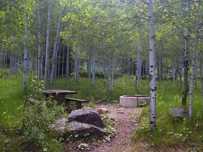
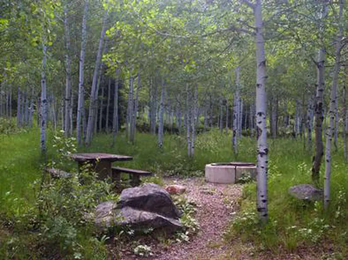
The Duchesne River Trail offers a scenic moderate hike through northeastern Utah's river canyon country. This 5.8-mile route follows the Duchesne River drainage with steady elevation gain through mixed terrain, providing access to riparian zones and canyon views characteristic of the Uinta Basin region. The trail combines river bottom walking with moderate climbing, making it an excellent choice for hikers seeking solitude and natural water features.
Hades-Rocky Sea Pass
~6 min drive
Challenging 20-mile alpine pass trek with 1,876 ft elevation gain.
Little Deer Creek Snomo Marked
~7 min drive
Easy marked snowmobile trail with gentle terrain and minimal elevation gain.
Broadhead Meadow Snomo Marked
~10 min drive
Easy 2.1-mile winter meadow trail with minimal elevation gain.
Murdock Basin Snomo Marked
~8 min drive
Marked snowmobile trail through Murdock Basin with moderate distance and gentle elevation gain.
South Fork Rock Creek
~12 min drive
Moderate creek canyon hike with steady elevation gain and scenic forest.
Palisade
~10 min drive
Easy 2.77-mile hike with 331 ft gain near Palisade, Utah.
Slope Hades Canyon
~12 min drive
Challenging 8.93-mile canyon hike with 3,619 ft elevation gain near Slope.
Lambert Meadow Snomo Marked
~13 min drive
Marked meadow trail with steady climbing through scenic alpine terrain.
Spring Canyon Snomo Marked
~11 min drive
Easy 1.17-mile winter trail with minimal elevation gain.
East Fork Duchesne River
~12 min drive
Moderate river valley hike in the Uintas with steady elevation gain and scenic views.