Loading…

Free — you'll pick up right here.
Watch this trail
Sign up to watch it — saving subscribes you to gate, closure and report changes.
Tennessee
2.2 mi
Distance
1,181 ft
Gain
46 min
Time
We won't guess. Here is exactly what we do and don't know.
What we do know
Inside National Forests in North Carolina
2 managing-area boundaries mapped — agency alerts for them feed this page automatically.
Boundary data
What's missing
No access route mapped
We don't yet know which road reaches this trailhead, so we can't tell you if it's gated.
Nobody's filed a report here yet — be the first.
Why you'll love it
Staire Creek
AI-suggested draft · review before you go
No permit or access details on file for this trail — check with the local land manager before you go.
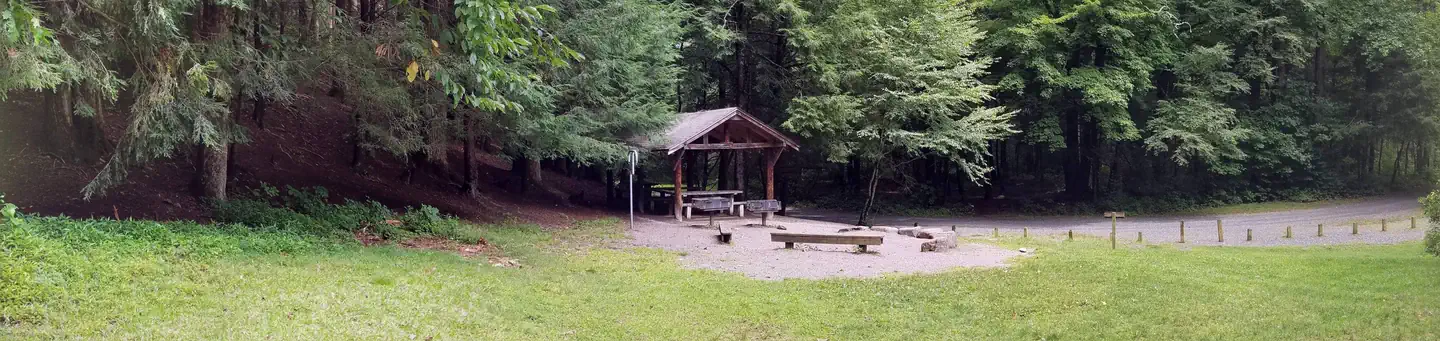
Staire Creek is a 2.21-mile out-and-back trail in Tennessee that takes hikers along a ground surface path. This route connects to the Bear Pen Trail system, offering an accessible option for those exploring the area's trail network.
Perkins
~1 min drive
2.31-mile out-and-back trail in North Carolina with 977 ft elevation gain.
Walker Creek
~2 min drive
A 3.46-mile moderate out-and-back trail in Tennessee that links to the Thom Creek Trail network.
Big Butt
~2 min drive
An 11.55-mile out-and-back hike in Tennessee that connects to the Appalachian Trail system.
Buncombe Horse
~10 min drive
13.19-mile out-and-back trail in Buncombe Horse, North Carolina.
Little Andy
~3 min drive
A 1.21-mile out-and-back trail in Tennessee connected to the Laurel Gap and Upper Corner Rock Trail network.
Douglas Falls
~3 min drive
A moderate 5.55-mile out-and-back hike in Tennessee featuring dirt and rock terrain.
Snowball
~7 min drive
A 7.04-mile out-and-back trail in Tennessee connected to the MTS Trail system, ideal for a moderate day hike.
Big Tom Gap
~11 min drive
Easy out-and-back walk through a mountain gap in North Carolina.
Elk Pen
~3 min drive
A 2.96-mile rocky out-and-back trail in Tennessee connecting to FS 74 and the Appalachian Trail.
Bald Knob Ridge
~11 min drive
A 5.55-mile out-and-back trail in Tennessee connected to the Blue Ridge Parkway system.