Loading trail…

Free — you'll pick up right here.
Save this plan
Sign up to save your own editable copy — you'll pick up right here.
New Mexico
1.8 mi
Distance
680 ft
Gain
No conditions check on file for this trail yet — always verify current conditions before you go.
Why you'll love it
Fr 686
AI-suggested draft · review before you go
No permit or access details on file for this trail — check with the local land manager before you go.
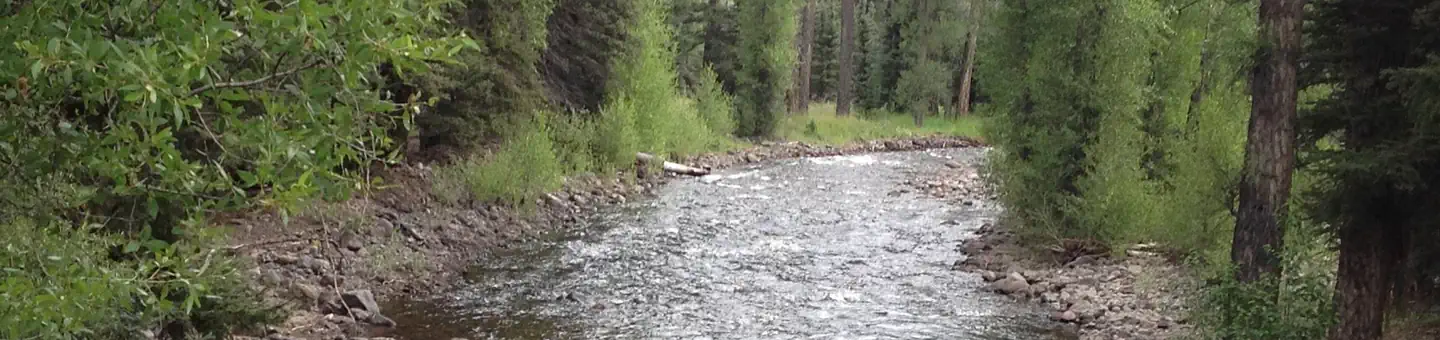
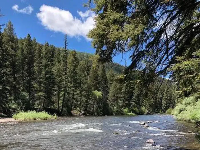
Fr 686 is a short, steep forest service road hike in northern New Mexico offering a quick but challenging climb through mixed conifer terrain. With nearly 700 feet of elevation gain compressed into less than two miles, this trail rewards hikers with efficient cardiovascular work and forest immersion. The steep grade and relatively short distance make it ideal for those seeking a focused workout or acclimatization hike.

Red Lake
~14 min drive
6.1 mi · Hard

Flat
~15 min drive
3.3 mi · Easy

Ruybalid
~24 min drive
5.1 mi · Moderate
Continental Divide Trail
~2 min drive
Moderate alpine hike along the Continental Divide with expansive ridge views.

Los Pinos
~15 min drive
7.9 mi · Hard
West Fork Rio Chama
~14 min drive
2.9 mi · Easy

No Name Lake
~24 min drive
5.5 mi · Moderate
Cdt - New Mexico Section
~2 min drive
Brief CDT segment through New Mexico's high desert landscape.

Roaring Gulch East
~27 min drive
3.5 mi · Hard
Alverjones
~24 min drive
2.2 mi · Easy