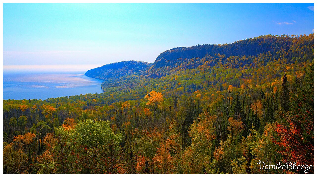
Windigo Nature Trail
Michigan
No account needed. We'll keep it on this device.
0.9 mi
Distance
104 ft
Gain
We don't cover this trail yet
No agency boundary, access route or field report is mapped to it — so there is no verdict, and we won't guess. We'll tell you the moment this trail has something to say.
Covered nearby
Trails within 25 miles where we do have a current picture.
Nobody's filed a report here yet — be the first.
Why you'll love it
Here's your day, mapped
Windigo Nature Trail
Suggested plan · check conditions before you go
Want dates, gear and meals worked out too?
Meals
Gear for the day
Elevation & route
- Distance
- 0.9 mi
- Elevation gain
- 104 ft
Photos
Directions & GPX
Permits & access
- Managing agency
- National Park Service
About this trail
Windigo Nature Trail is a 1.88-mile out-and-back hike in Michigan with 104 feet of elevation gain. The trail is managed by the National Park Service.
Add to a trip & share
Keep exploring — more trails worth the drive
 Photo: Ken Lund, CC BY-SA 2.0 (via Flickr)
Feldtmann Lake Trail
~1 min drive
9.46-mile point-to-point trail in Michigan with 780 ft elevation gain.
Photo: Ken Lund, CC BY-SA 2.0 (via Flickr)Minong Ridge Trail
~3 min drive
25.77-mile point-to-point trail in Michigan with 3,308 ft elevation gain.
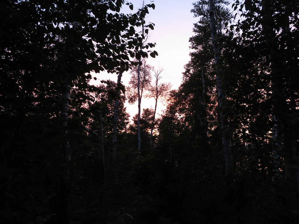 Photo: Ken Lund, CC BY-SA 2.0 (via Flickr)
South Lake Desor Access Trail
~17 min drive
0.8-mile out-and-back trail to South Lake Desor in Michigan.
 Photo: Sharon Mollerus, CC BY 2.0 (via Flickr)
Mink Mountain Trail
~33 min drive
0.82-mile out-and-back hike to Mink Mountain in Michigan with 835 ft of elevation gain.
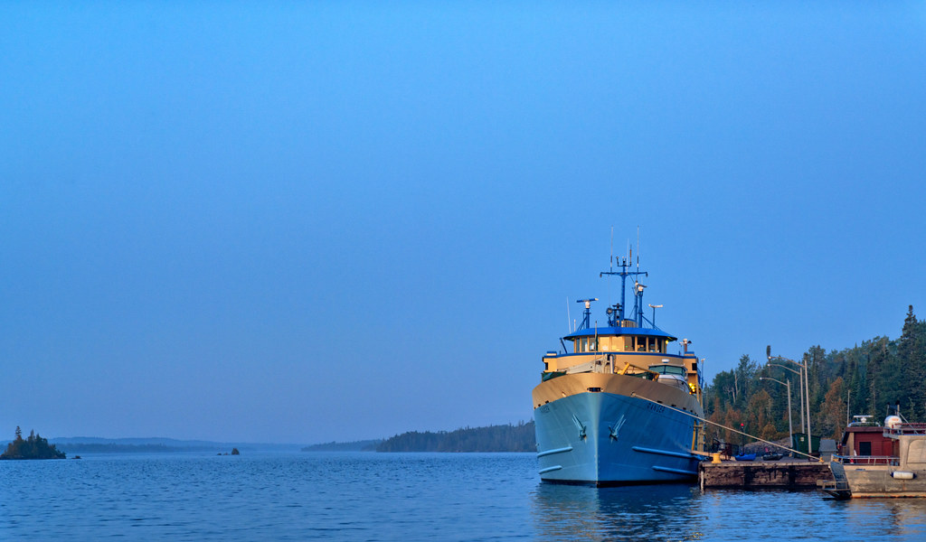 Photo: Tony Webster, CC BY 2.0 (via Flickr)
Rock Harbor Trail
~1h 1m drive
10.47-mile point-to-point trail in Michigan with 315 ft gain and 772 ft loss.
Photo: Ken Lund, CC BY-SA 2.0 (via Flickr)Hunnigan Cove Trail
~3 min drive
6.71-mile loop in Michigan with 1,150 ft gain, managed by the National Park Service
North Lake Desor Access Trail
~16 min drive
0.88-mile out-and-back trail to North Lake Desor in Michigan.
Mount Rose Trail Depot Overlook
~42 min drive
This overlook is at a low rock wall along the trail.
Greenstone Ridge Trailhead: Hidden Lake
~1h 2m drive
Backpack Isle Royale National Park and trek the Greenstone Ridge Trail that connects the southwest end to the northeast end of the island. The island’s longest trail includes forested wilderness, rocky exposed ridges, inland lakes, swamps, wildlife, and Lake Superior views.…
Photo: Tony Webster, CC BY 2.0 (via Flickr)Stoll Trail
~1h 1m drive
7.56-mile out-and-back hike in Michigan with 654 ft elevation gain