


Journey Quest
Hiking business nearby (~29 mi away) — hasn't claimed their Roamze page yet
Free — you'll pick up right here.
Watch this trail
Sign up to watch it — saving subscribes you to gate, closure and report changes.
Colorado
12.7 mi
Distance
2,810 ft
Gain
No agency boundary, access route or field report is mapped to it — so there is no verdict, and we won't guess. We'll tell you the moment this trail has something to say.
Covered nearby
Trails within 25 miles where we do have a current picture.
Nobody's filed a report here yet — be the first.
Why you'll love it
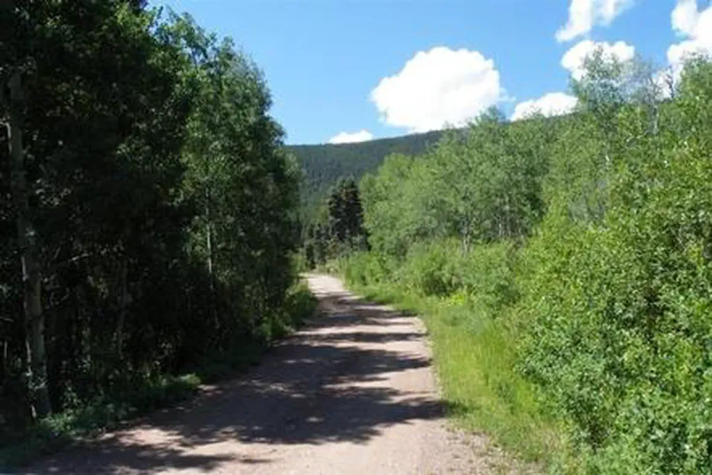
South Colony Road
AI-suggested draft · review before you go
South Colony Road is a 13.9-mile out-and-back trail located in Colorado near the San Juan National Forest, managed by the Gunnison Ranger District. This route follows a road-based path through the national forest, offering access to the remote South Colony area. The trail's out-and-back format means hikers will cover approximately 27.8 miles round trip if completing the full distance. The road-based nature of this trail makes it suitable for various outdoor users, though specific terrain details and difficulty ratings are not available. The elevation gain for this route has not been documented. This trail provides access to a less-traveled section of the San Juan National Forest, which encompasses over 1.8 million acres of Colorado wilderness. The Gunnison Ranger District manages a diverse landscape of peaks, forests, and backcountry terrain across the region. Visitors should contact the Gunnison Ranger District office for current trail conditions, road access status, and any seasonal restrictions, as road-based trails in national forests can be affected by weather and maintenance schedules. This remote location requires adequate preparation and self-sufficiency.
Sand Creek Basin
~9 min drive
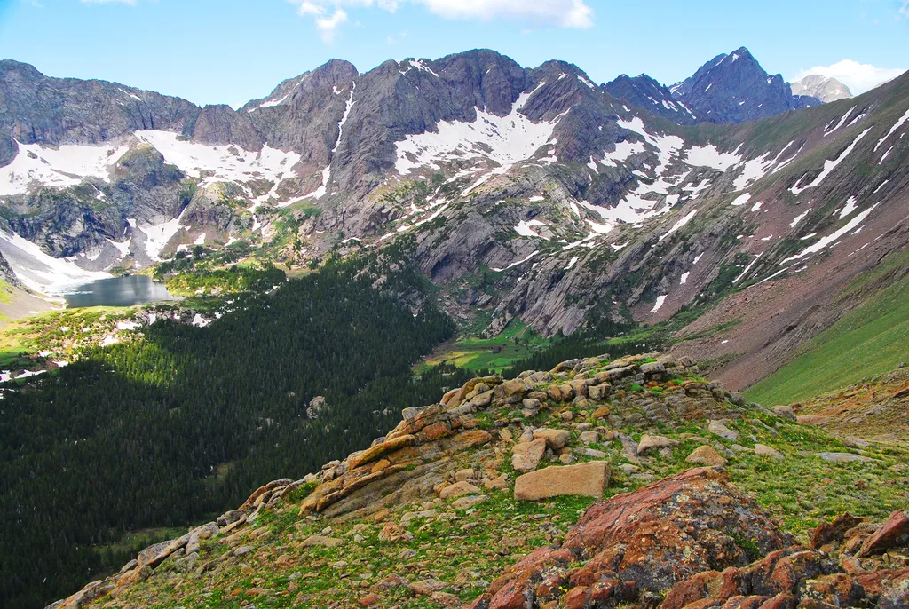
<p>Sand Creek Basin is part of the alpine watershed of Great Sand Dunes National Preserve. A longer drive and hike is required to reach these lakes and peaks, but the mountain scenery is worth the effort. Check with a ranger for conditions before travel. Snow may block these t…

Phantom Terrace
~16 min drive
An expert singletrack out-and-back in Colorado connecting to Venable Peak and Spring Mountain, spanning 4.85 miles of technical terrain.

North Fork Crestone
~18 min drive
17 mi · Hard
Hidden Dune
~26 min drive
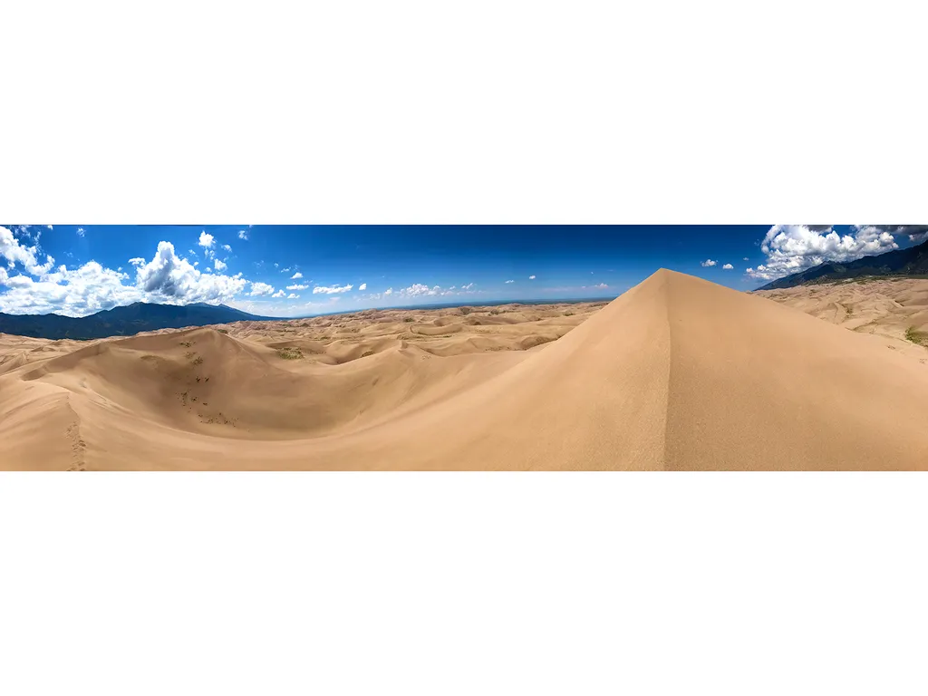
Hidden Dune is currently tied with Star Dune as the two tallest dunes in North America at 741 feet/225 m. Hidden Dune is named for its remote location in the dunefield, where it is not visible from most of the main visitor day use areas. It is even hidden from much of the high…

Humboldt
~10 min drive
2.7 mi · Easy

Willow Lake
~17 min drive
9.7 mi · Moderate
Comanche
~18 min drive
8.8 mi · Hard
High Dune on First Ridge
~29 min drive
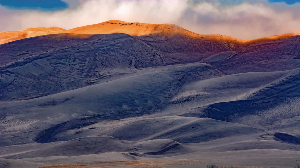
The high dune on the first ridge is neither the highest in elevation nor the tallest in the dunefield, but it looks that way from the main parking lot. This is the most common destination in the dunefield, providing a great view of the entire dunefield. It is about 692 feet (2…
Music Pass
~8 min drive
2.3 mi · Easy
Marble Mtn.
~5 min drive
3.7 mi · Moderate
Local operatorsoffering guided trips. You book directly with them — Roamze doesn’t take a cut.
Journey Quest
Hiking business nearby (~29 mi away) — hasn't claimed their Roamze page yet
San Luis Valley Campground
Hiking business nearby (~31 mi away) — hasn't claimed their Roamze page yet
Black Bear Retreat
Hiking business nearby (~38 mi away) — hasn't claimed their Roamze page yet