Loading trail…

Free — you'll pick up right here.
Save this plan
Sign up to save your own editable copy — you'll pick up right here.
Colorado
2.5 mi
Distance
373 ft
Gain
No conditions check on file for this trail yet — always verify current conditions before you go.
Why you'll love it
Bakerville-Loveland
AI-suggested draft · review before you go
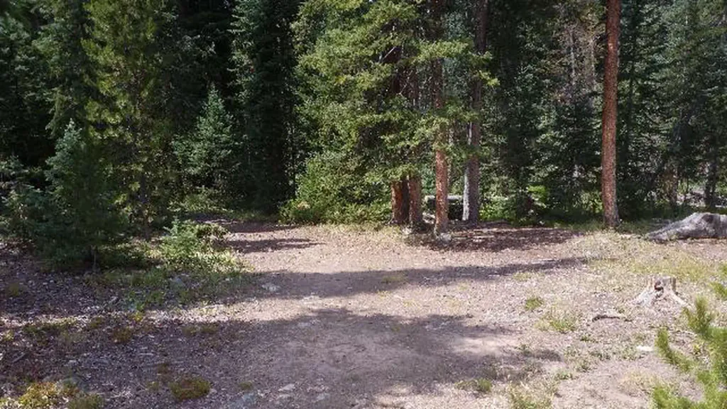
The Bakerville-Loveland Trail is a 2.5-mile loop located in Colorado near the town of Loveland. Managed by the White River National Forest's Rifle Ranger District, this trail offers a moderate hiking experience suitable for various skill levels. The loop configuration allows hikers to complete a full circuit without retracing their steps, making it an efficient route for a half-day outing. The trail traverses through the natural landscape of northwestern Colorado, providing access to the scenic terrain characteristic of the White River National Forest. As a maintained trail within the National Forest system, Bakerville-Loveland receives regular upkeep from the Rifle Ranger District. The route is popular among local hikers seeking a compact loop experience. Whether you're looking for a morning hike or a casual afternoon outing, this trail's 2.5-mile distance makes it accessible to those with limited time. For current conditions, trail maintenance updates, or additional details about the route, contact the White River National Forest's Rifle Ranger District directly. Plan your visit during established hiking seasons and check local weather conditions before heading out.

Watrous Gulch
~2 min drive
4.3 mi · Moderate
Bard Creek
~3 min drive
19 mi · Hard

Loveland Pass
~5 min drive
2.8 mi · Easy
Torreys Peak
~8 min drive
Standard route to Torreys Peak (14,267 ft) from Grays Peak Trailhead (Stevens Gulch).

Divide Trail
~7 min drive
5.1 mi · Moderate

Kearney Gulch
~4 min drive
3.5 mi · Hard

Pass Lake
~6 min drive
0.7 mi · Easy

Horseshoe Basin
~11 min drive
3.0 mi · Moderate
Argentine Central Railroad Grade Trail
~12 min drive
27 mi · Hard

Butler Gulch
~6 min drive
2.6 mi · Easy