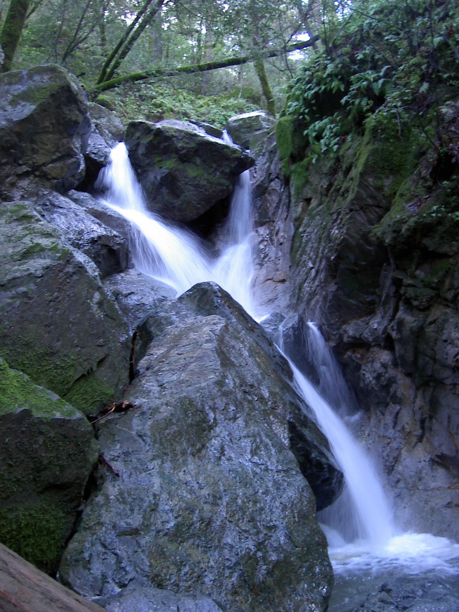
Sugarloaf Ridge State Park
About
Sugarloaf Ridge State Park covers 4,699 acres in California, about 3.5 miles from the town of Kenwood. The land is managed by California's state park agency, and the park holds one campground within its boundaries. Spring and fall are the most comfortable times to visit. At the Saint Helena weather station, 4 miles away at 225 feet, typical averages reach highs around 72°F in April and 78°F in October. Summer highs there run near 89°F. Winter is the wettest stretch, with about 12 to 13 wet days a month in December and January. Several trails start close by. Red Mountain Trail is about 1.4 miles away, and Goodspeed Trail and Bald Mountain Trail are each about 1.6 miles away. Climbers can head to the Sugarloaf Ridge climbing area, about 1.8 miles off.
Park size
4,699 acres
Inside this park
Location
Sugarloaf Ridge State Park
California
Data source: USGS PAD-US 4.1 (Protected Areas Database, public domain)
Facts about this place
When to go
Best time to go: Feb–Jun. The mildest months here, with typical highs of 63–85°F and lows of 42–54°F.
Typical monthly averages (not a forecast) from the Saint Helena, CA weather station, 4 mi away. High / low in °F, and days with snow.
- Jan59° high40° low
- Feb63° high42° low
- Mar67° high44° low
- Apr72° high46° low
- May78° high50° low
- Jun85° high54° low
- Jul89° high56° low
- Aug89° high56° low
- Sep87° high54° low
- Oct78° high49° low
- Nov66° high44° low
- Dec58° high40° low
Where it is
- Sugarloaf Ridge State Park · State park
- Nearest town
- Kenwood, California · 3.5 mi
- Managed by
- State Park and Recreation
Nearby
- Red Mountain TrailHiking1.4 mi
- Goodspeed TrailHiking1.6 mi
- Bald Mountain TrailHiking1.6 mi
- Sugarloaf RidgeRock climbing1.8 mi
- Hide Out BoulderRock climbing1.9 mi
- Napa RiverCanoeing4.7 mi
- Santa Rosa CreekCanoeing6.4 mi
- Conn CreekCanoeing6.7 mi
Source: Roamze catalog (indexable pages within 10 miles, PostGIS distance)
