Loading…

Free — you'll pick up right here.
Watch this trail
Sign up to watch it — saving subscribes you to gate, closure and report changes.
California
1.2 mi
Distance
156 ft
Gain
Weather is good
1 factor · 1 source
Observed 23 h ago
clear: Weather
Clouds, high 69°F / low 34°F, 0% precip — 97/100 for hike
OpenWeather23 h ago
Been out here in the last few days? One report keeps this current for everyone.
Why you'll love it
Warr Trail
AI-suggested draft · review before you go
No permit or access details on file for this trail — check with the local land manager before you go.
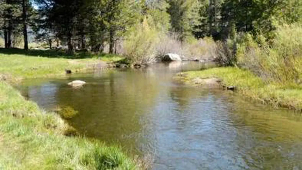
Warr Trail is a short, accessible hiking route perfect for beginners and families seeking a quick outdoor escape. With minimal elevation gain over just 1.24 miles, this easy trail offers a pleasant walk through California terrain without requiring significant fitness or time commitment. Ideal for a casual morning or afternoon hike.
Cowboy Traverse
~1 min drive
Extreme alpine traverse with 7,851 ft gain in 2.8 miles—expert mountaineers only.
Saxon Urban Trails
~3 min drive
Easy 1.4-mile urban trail with minimal elevation gain.
Meiss Meadow- Round Lake Trail
~4 min drive
Moderate alpine trail through meadows to Round Lake with steady elevation gain.
Iroquois to Water Tank
~3 min drive
Steady climb to a water tank viewpoint with chaparral views.
Saxon Trail
~4 min drive
Moderate 10.32-mile trail with 2,528 ft elevation gain.
Corral Trail
~6 min drive
Easy 3.8-mile loop with gentle terrain and minimal elevation gain.
Ridge Loop
~4 min drive
Easy 2.31-mile ridge loop with 176 ft elevation gain.
Gunmount Trail
~5 min drive
Moderate 7.75-mile day hike with 307 ft elevation gain.
Armstrong Pass Trail
~6 min drive
Moderate 5.7-mile climb to Armstrong Pass with 1,425 ft elevation gain.
Frog Pond Loop
~4 min drive
Easy 1.4-mile pond loop with minimal elevation gain.