U-Thoa
California
Free — you'll pick up right here.
0.8 mi
Distance
338 ft
Gain
Conditions: Clear
for hike, todayWeather is good
1 factor · 1 source
Observed 8 h ago
clear: Weather
Clear, high 87°F / low 67°F, 0% precip — 91/100 for hike
OpenWeather8 h ago
Been out here in the last few days? One report keeps this current for everyone.
Why you'll love it
Here's your day, mapped
U-Thoa
Suggested plan · check conditions before you go
Meals
Gear for the day
Elevation & route
- Distance
- 0.8 mi
- Elevation gain
- 338 ft
Photos
Directions & GPX
Permits & access
- Managing agency
- National Park Service
About this trail
U-Thoa is a 1.5-mile out-and-back trail in California with 338 feet of elevation gain. The route follows a straightforward path to the destination and returns via the same trail.
Add to a trip & share
Keep exploring — more trails worth the drive
 Photo: Brück & Sohn Kunstverlag Meißen, CC0 (via Wikimedia Commons)
Wishbone Loop Trail
~3 min drive
1.79-mile loop in California with 921 ft elevation gain
 Photo: Brück & Sohn Kunstverlag Meißen, CC0 (via Wikimedia Commons)
Saddle Pass Trail
~3 min drive
3.08-mile out-and-back trail in California with 1,280 ft elevation gain
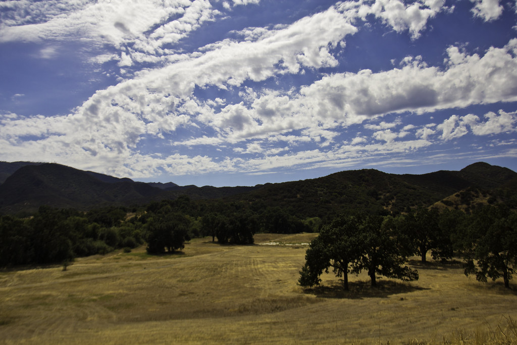 Photo: Santa Monica Mountains National Recreation Area, Public Domain Mark (via Flickr)
Ebb Tide Trail
~5 min drive
0.82-mile out-and-back trail in California with 51 ft of elevation gain.
White Sage Trail
~5 min drive
6.74-mile out-and-back trail in California with 2,867 ft elevation gain and loss.
Aqiwo Trail
~2 min drive
0.92-mile out-and-back hike in California with 291 ft elevation gain.
Ranch Center Trail
~4 min drive
2.38-mile out-and-back trail in California with 1,146 ft elevation gain
Wistful Vista Trail East
~1 min drive
0.88-mile out-and-back trail in California with 396 ft elevation gain.
Smoke Tree Trail
~3 min drive
1.06-mile out-and-back trail in California with 279 ft elevation gain/loss
Suicide Connector Trail
~4 min drive
1.76-mile out-and-back trail in California with 1,344 ft elevation gain
Wistful Vista Trail
~2 min drive
7.54-mile out-and-back trail in California with 1,126 ft elevation gain.
Also worth it near here
