Loading…

Free — you'll pick up right here.
Watch this trail
Sign up to watch it — saving subscribes you to gate, closure and report changes.
California
13.9 mi
Distance
298 ft
Gain
We won't guess. Here is exactly what we do and don't know.
What we do know
Inside Lassen National Forest
2 managing-area boundaries mapped — agency alerts for them feed this page automatically.
Boundary data
What's missing
No access route mapped
We don't yet know which road reaches this trailhead, so we can't tell you if it's gated.
Nobody's filed a report here yet — be the first.
Why you'll love it
Swain Tie
AI-suggested draft · review before you go
No permit or access details on file for this trail — check with the local land manager before you go.
Swain Tie is a moderately long foothill trail offering a gentle climbing experience through California's rolling terrain. With nearly 14 miles of hiking and minimal elevation gain, this trail is ideal for building endurance while enjoying a more relaxed pace through the landscape. The low gradient makes it accessible for hikers seeking a longer day hike without extreme elevation challenges.
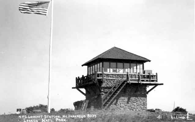
Mount Harkness Fire Lookout
~20 min drive
<p>Perched atop Mt. Harkness in the southeast corner of Lassen Volcanic National Park, Mount Harkness Fire Lookout has served as an active fire lookout and visitor destination since its construction in 1930. The rustic style two-story wood and stone structure sits at 8,046 fee…
Swain
~6 min drive
Moderate 8.25-mile trail with 359 ft elevation gain near Swain, CA.
Lassen Trail
~6 min drive
Easy 1.38-mile walk through Lassen's volcanic terrain with minimal elevation gain.
Jewel Lake
~11 min drive
Accessible alpine lake hike with 541 ft elevation gain.
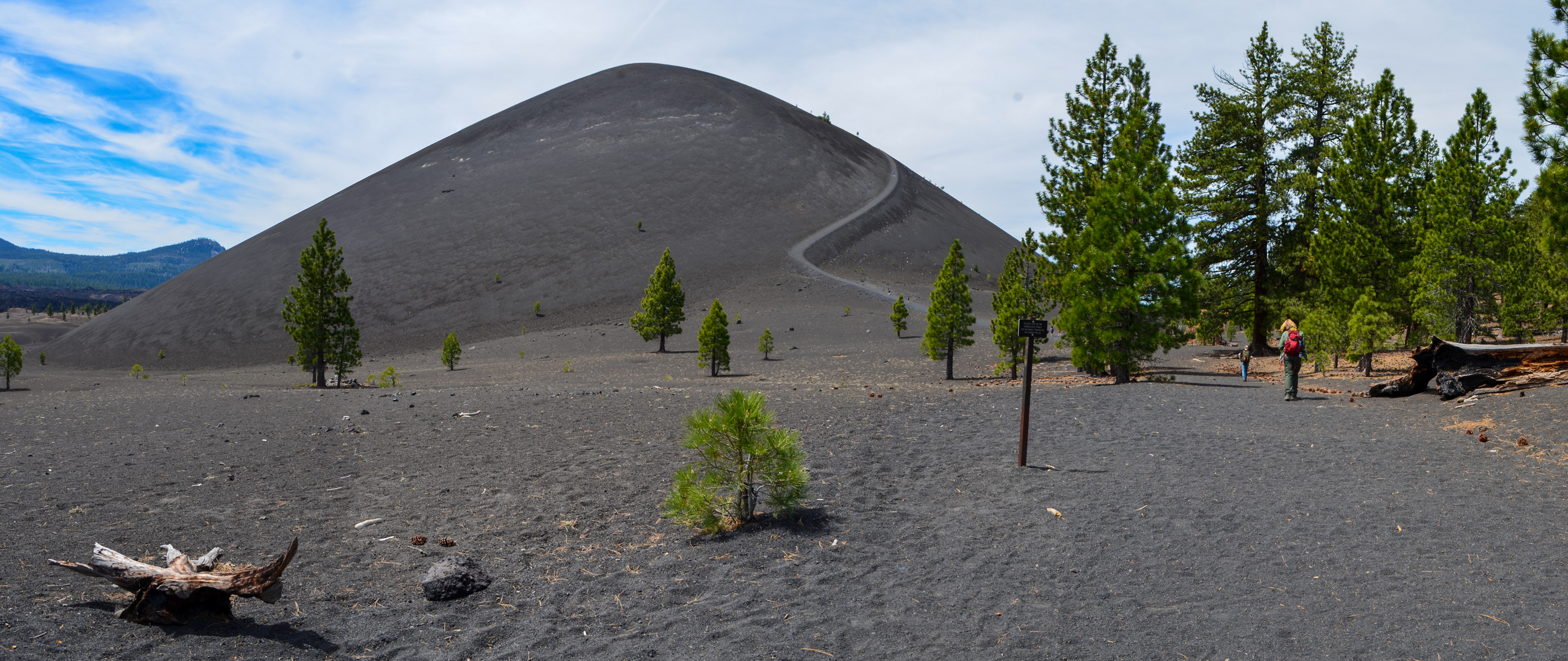
Cinder Cone Trail
~24 min drive
<figure> </figure> <p><strong>Start:</strong> Butte Lake parking area<br /> <strong>Round-Trip Distance to Base: </strong>2.4 miles<br /> <strong>Round Trip Distance to Summit:</strong> 4 miles<br /> <strong>Round-Trip Time: </strong>3 hours<br /> <strong>Elevation Change:</st…
Jenny Springs
~7 min drive
Moderate 10-mile loop with 886 ft gain near Jenny Springs, California.
Trail Lake
~8 min drive
Easy 1.6-mile lake hike with minimal elevation gain and scenic water views.
Emerald-Cypress Caribou
~11 min drive
Scenic 4.12-mile trail with 456 ft gain through California forest and meadow.
Warner Valley Day Use Area
~28 min drive
<p><strong>Season:</strong> June through October; road closed winter/spring<br /> <a href="https://www.nps.gov/places/www.nps.gov/lavo/planyourvisit/gettingaround.htm#jl">Access</a><strong>:</strong> Dirt road not recommended for trailers<br /> <a href="https://www.nps.gov/lav…
Mud Creek Rim
~9 min drive
Remote 26-mile rim trail with expansive desert views and moderate elevation gain.