Loading…

Sus Picnic Area (West District)
Free — you'll pick up right here.
Watch this trail
Sign up to watch it — saving subscribes you to gate, closure and report changes.
Arizona
We won't guess. Here is exactly what we do and don't know.
What we do know
Inside Saguaro National Park
National Park unit boundary is mapped — agency alerts for it feed this page automatically.
Boundary data
What's missing
No access route mapped
We don't yet know which road reaches this trailhead, so we can't tell you if it's gated.
Nobody's filed a report here yet — be the first.
Why you'll love it
Sus Picnic Area (West District)
AI-suggested draft · review before you go
No elevation data on file for this trail.
This is the closest picnic area to the Red Hills Visitor Center in the west district of Saguaro National Park. It is along the Bajada Loop Drive.
Signal Hill (West District)
~2 min drive
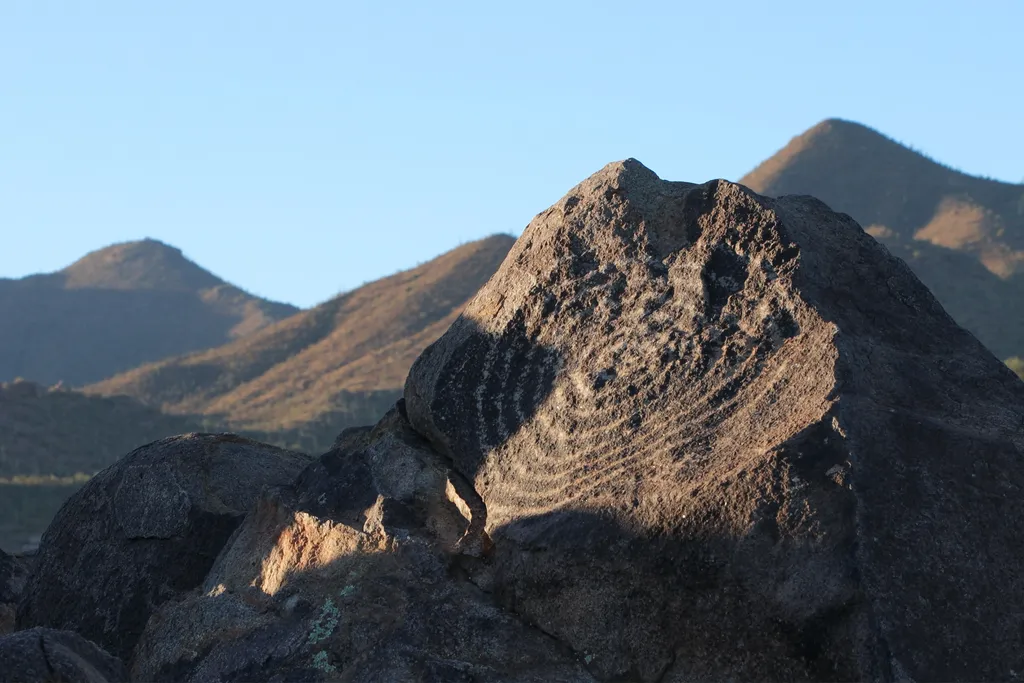
Signal Hill is a popular multi-use area along the Bajada Loop Drive in Saguaro National Park's west district. This is a popular destination, as it is the best place to see petroglyphs within the park. There are trails that start from this destination, as well as a picnic area.…
Hugh Norris Big Loop
~1 min drive
6.8 mi · Hard
Valley View Trail
~1 min drive
0.8 mi · Easy
Javelina Wash Trail
~2 min drive
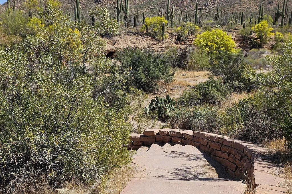
A 600-yard loop trail through the wash behind the Red Hills Visitor Center, looping through the wash from one end of the building to the other. Flat, but sandy and rocky, with stairs at either end. Follow the self-guided "Signs of Life in the Desert" tour under Self-Guided To…
King Canyon / Gould Mine Loop
~5 min drive
15 mi · Hard
Bajada Wash Trail
~0 min drive
Easy 1-mile out-and-back wash hike in Arizona.
Golden Gate Mountain Loop
~12 min drive
15 mi · Hard
Hugh Norris Trail
~1 min drive
Steady out-and-back climb with panoramic desert and mountain views.
Desert Discovery Trail
~1 min drive
The Desert Discovery Trail is an easy, paved, accessible, 0.5 mile (0.8 km) trail in Saguaro National Park's west district. The trailhead is located along Kinney Road, 1 mile (1.6 km) northwest from the Red Hills Visitor Center. Interpretive signage along the trail provides a…
Wild Dog Trail
~2 min drive
Easy 0.9-mile out-and-back desert hike in Arizona.
