Loading trail…

Free — you'll pick up right here.
Save this plan
Sign up to save your own editable copy — you'll pick up right here.
Arizona
13.5 mi
Distance
401 ft
Gain
No conditions check on file for this trail yet — always verify current conditions before you go.
Why you'll love it
Arizona Trail #2 Canelo Hills East
AI-suggested draft · review before you go
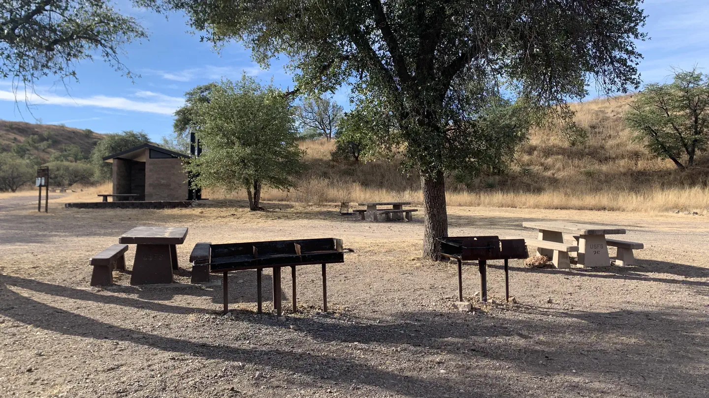
Arizona Trail #2 Canelo Hills East is a 13.5-mile lollipop loop located in Arizona near the Canelo Hills. Managed by the Arizona Trail Association, this trail offers a moderate hiking experience with 401 feet of elevation gain spread across the route. The lollipop configuration provides hikers with a linear approach to a circular loop, allowing for varied scenery and terrain throughout the journey. The relatively modest elevation gain makes this trail accessible to hikers of varying experience levels, though the total distance requires adequate time and preparation. This section of the Arizona Trail system showcases the diverse landscape of southeastern Arizona's foothills and grasslands. The trail is suitable for day hikes, with the out-and-back stem of the lollipop followed by a loop around the Canelo Hills area. Hikers should come prepared with adequate water and sun protection, as conditions can vary significantly depending on elevation and season. The Arizona Trail Association maintains this route as part of the larger 800-mile Arizona National Scenic Trail system that spans the state from Mexico to Utah.
Lyle Canyon
~10 min drive
5.8 mi · Moderate
Arizona Trail #1 Huachuca Mountains
~12 min drive
Challenging 40+ mile mountain trek through the Huachuca Mountains with significant elevation gain.
Arizona Trail
~13 min drive
A 53.25-mile out-and-back trail in Arizona, connected to Passage 42.
Peterson Peak
~14 min drive
2.9 mi · Easy
Parker Canyon Lakeshore Trail
~11 min drive
4.8 mi · Moderate
Ramsey Peak
~19 min drive
1.7 mi · Hard
Crest Trail #103
~20 min drive
A 7.26-mile out-and-back gravel trail in Arizona's Huachuca Mountains, connecting to the Arizona National Scenic Trail system.
Pat Scott Trail #123
~22 min drive
3.9 mi · Easy
Huachuca
~11 min drive
5.6 mi · Moderate
Crest Trail #103
~20 min drive
21 mi · Hard