Wolf Creek Gorge
North Carolina
Free — you'll pick up right here.
0.5 mi
Distance
327 ft
Gain
We don't cover this trail yet
No agency boundary, access route or field report is mapped to it — so there is no verdict, and we won't guess. We'll tell you the moment this trail has something to say.
Covered nearby
Trails within 25 miles where we do have a current picture.
Nobody's filed a report here yet — be the first.
Why you'll love it
Here's your day, mapped
Wolf Creek Gorge
Suggested plan · check conditions before you go
Meals
Gear for the day
Elevation & route
- Distance
- 0.5 mi
- Elevation gain
- 327 ft
Photos
Directions & GPX
Permits & access
- Managing agency
- Forest Service
About this trail
Wolf Creek Gorge is a short out-and-back trail in North Carolina managed by the Forest Service. The trail is 0.94 miles long with 327 feet of elevation gain.
Facts about this trail
The climb
- Length (round trip)
- 0.9 mi
- Shape
- Out and back
Source: Roamze elevation profile and trail geometry (DEM samples along the mapped route)
When to go
Typical monthly averages (not a forecast) from the Lake Toxaway 2 Sw, NC weather station, 9.4 mi away. High / low in °F.
- Jan46° high27° low
- Feb50° high29° low
- Mar57° high35° low
- Apr67° high42° low
- May73° high51° low
- Jun76° high60° low
- Jul79° high63° low
- Aug77° high62° low
- Sep73° high56° low
- Oct65° high45° low
- Nov56° high36° low
- Dec49° high31° low
Where it is
- Nantahala Ranger District · Ranger district
- National Forests in North Carolina · National forest
Source: USFS EDW boundaries
Conditions
Active alerts for Nantahala Ranger District as of Oct 9, 2026:
Arrowood Glade Alcohol Prohibitions- Nantahala Ranger District
information · posted Aug 24, 2026
Finger Lake Area Prohibitions- Nantahala Ranger District
information · posted Aug 24, 2026
Connely Creek Road (NFSR 86) Closure
information · posted Aug 24, 2026
Source: USFS forest alerts
Nearby
- Wolf Creek Lake Dispersed CampsitesCamping0.8 mi
- Turkey KnobHiking1.9 mi
- Horseshoe RockRock climbing2.6 mi
- Cheers LedgeRock climbing2.6 mi
- Rattlesnake KnobHiking3 mi
- Balsam Lake LodgePier fishing3 mi
- Shelton TrailHiking3.3 mi
- West Fork French Broad RiverCanoeing6.2 mi
Source: Roamze catalog (indexable pages within 10 miles, PostGIS distance)
Add to a trip & share
Keep exploring — more trails worth the drive
 Photo: willyk, CC BY 2.0 (via Wikimedia Commons)
Return Trail
~8 min drive
1.2-mile out-and-back hike in North Carolina with 474 ft elevation gain.
 Photo: daveynin, CC BY 2.0 (via Flickr)
Mt Hardy Trail
~12 min drive
1.14-mile out-and-back trail in North Carolina with 499 ft elevation gain
 Photo: w_lemay, CC BY-SA 2.0 (via Flickr)
Devils Courthouse Trail
~14 min drive
0.88-mile out-and-back trail in North Carolina with 277 ft of elevation gain.
Photo: daveynin, CC BY 2.0 (via Flickr)Green Mountain
~13 min drive
An easy 10.06-mile out-and-back gravel trail in Tennessee perfect for accessible hiking.
 Photo: ninepennies, CC BY-SA 2.0 (via Flickr)
Bearpen Gap
~12 min drive
A 1.25-mile out-and-back trail in Tennessee that connects to the Long Branch Trail system.
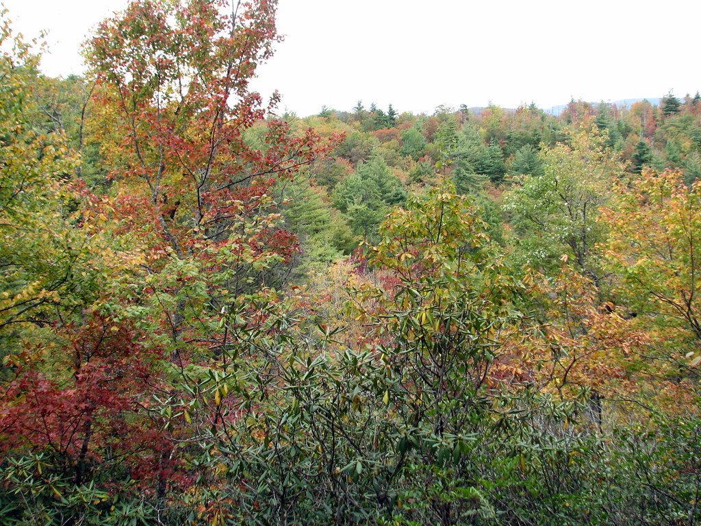 Photo: bobistraveling, CC BY 2.0 (via Flickr)
Bearwallow Valley Trail
~16 min drive
0.68-mile out-and-back hike in North Carolina with 247 ft elevation gain
Malonee
~7 min drive
0.8-mile out-and-back trail in North Carolina with 11 ft of elevation gain.
Photo: ninepennies, CC BY-SA 2.0 (via Flickr)Mst - Nantahala Rd
~13 min drive
16.06-mile out-and-back trail on Nantahala Road in North Carolina
Photo: willyk, CC BY 2.0 (via Wikimedia Commons)Toxaway River Trail
~9 min drive
3.22-mile out-and-back trail in North Carolina with 915 ft elevation gain.
Shelton Trail
~6 min drive
4.04-mile out-and-back trail in North Carolina with 1,817 ft elevation gain.

