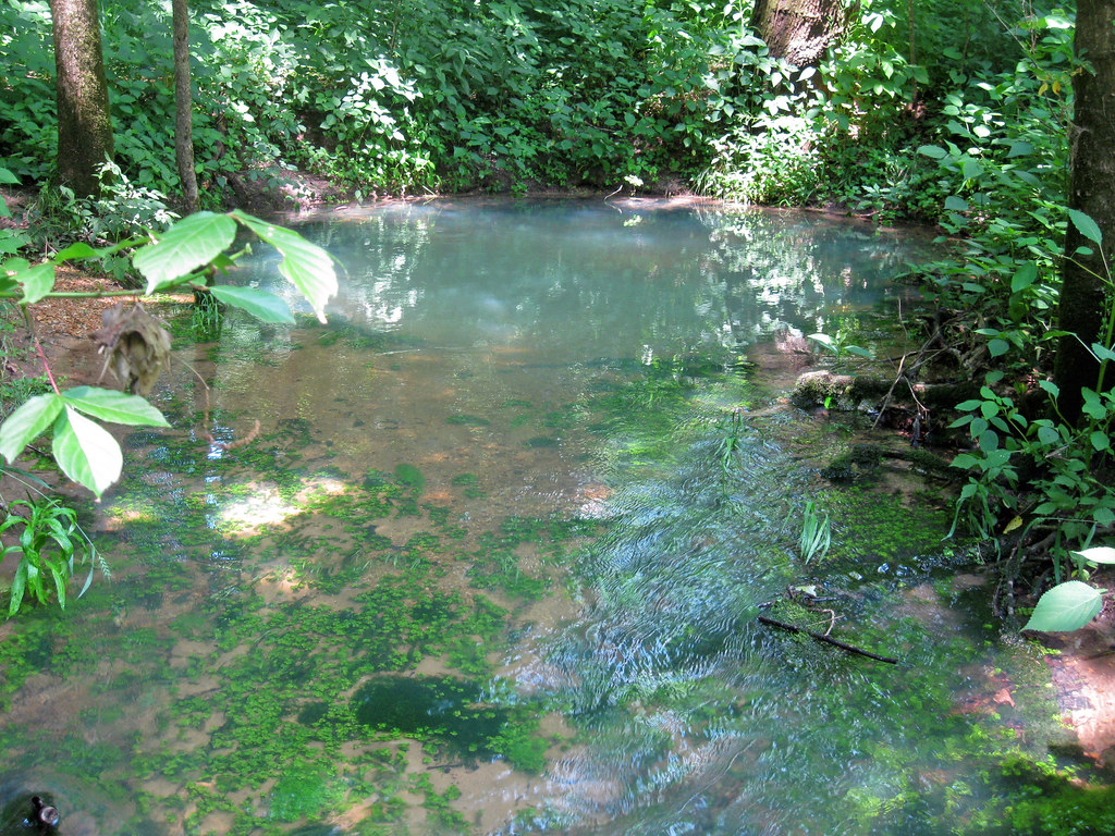
Whites Creek - 11 Pt. Spur
Missouri
Free — you'll pick up right here.
0.4 mi
Distance
10 ft
Gain
We don't cover this trail yet
No agency boundary, access route or field report is mapped to it — so there is no verdict, and we won't guess. We'll tell you the moment this trail has something to say.
Covered nearby
Trails within 25 miles where we do have a current picture.
Nobody's filed a report here yet — be the first.
Why you'll love it
Here's your day, mapped
Whites Creek - 11 Pt. Spur
Suggested plan · check conditions before you go
Meals
Gear for the day
Elevation & route
- Distance
- 0.4 mi
- Elevation gain
- 10 ft
Photos
Directions & GPX
Permits & access
- Managing agency
- Forest Service
About this trail
Whites Creek - 11 Pt. Spur is a short out-and-back trail in Missouri managed by the Forest Service. The trail is 0.72 miles long with 10 feet of elevation gain.
Facts about this trail
The climb
- Length (round trip)
- 0.7 mi
- Shape
- Out and back
Source: Roamze elevation profile and trail geometry (DEM samples along the mapped route)
Where it is
- Irish Wilderness · Wilderness
- Doniphan / Eleven Point Ranger District · Ranger district
- Mark Twain National Forest · National forest
Conditions
Active alerts for Mark Twain National Forest as of Oct 9, 2026:
Forest Order - Trail 119 Closure Extended (Chadwick Motorized Trail System)
caution · posted Oct 2, 2026
Tabor Fire - Ridge Runner Trail Segment Closure
fire-restriction · posted Sep 21, 2026
Forest Order 09-05-00-26-04 All Caves are closed to visitors due to White Nose Syndrome
information · posted Sep 4, 2026
Forest Order 09-05-12-09 Eleven Point Wild and Scenic River Zone
information · posted Aug 24, 2026
Forest Order 09-05-12-07: Wilderness
information · posted Aug 24, 2026
Forest Order 09-05-12-08: Greer Springs Trail
information · posted Aug 24, 2026
Forest Order 09-05-12-06: The Gulf
information · posted Aug 24, 2026
Forest Order 09-05-12-04 Tree Stands Forest-wide
information · posted Aug 24, 2026
Forest Order 09-05-12-03: Non-Administrative, non-recreation buildings
information · posted Aug 24, 2026
Remember the 3 R's if you come across unknown objects on the Forest
caution · posted Aug 24, 2026
Source: USFS forest alerts
Nearby
- Whites Creek Float CampCamping0.3 mi
- Barn Hollow Float CampCamping1.6 mi
- Horseshoe Bend Float CampCamping2.4 mi
- Brawley PondHiking3.5 mi
- Whites Creek TrailHiking4.3 mi
- Camp Five PondHiking4.7 mi
- Eleven Point National Wild and Scenic RiverRiver fishing8.3 mi
- Piney CreekCanoeing9.9 mi
Source: Roamze catalog (indexable pages within 10 miles, PostGIS distance)
Add to a trip & share
Keep exploring — more trails worth the drive
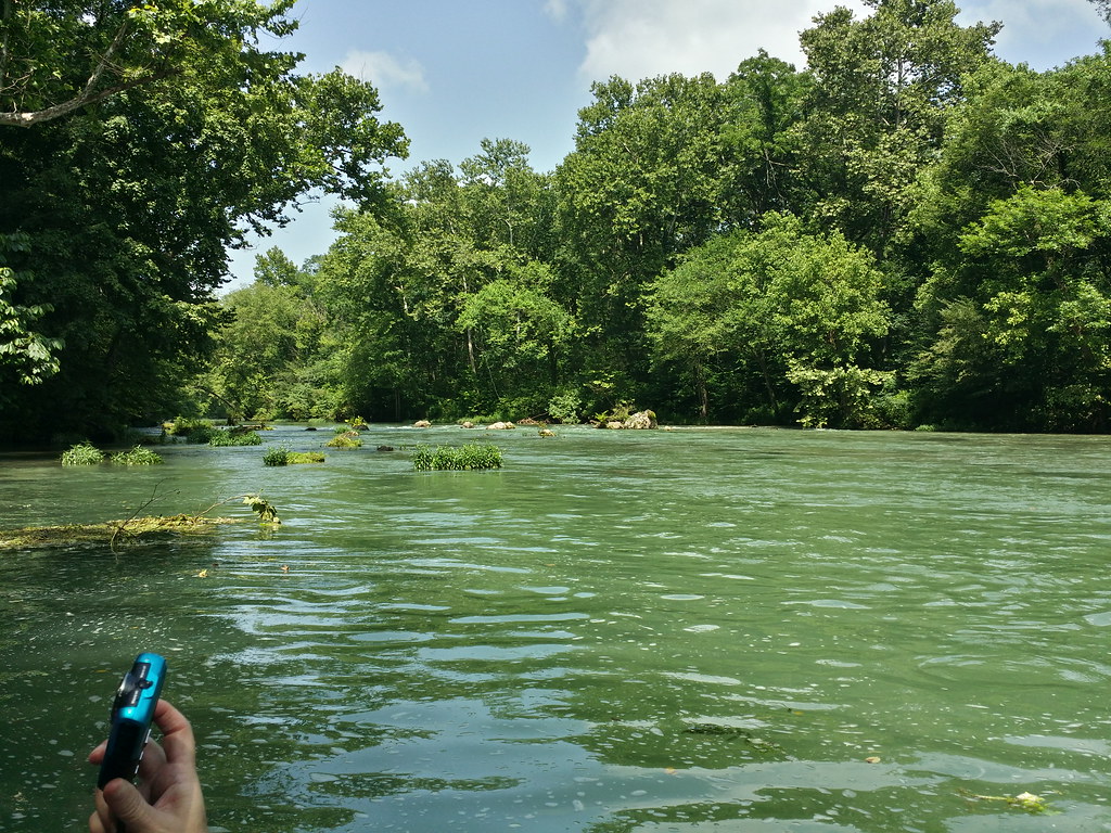 Photo: altonwoods, CC BY 2.0 (via Flickr)
Ozark Trail - River Section
~9 min drive
7.96-mile out-and-back trail along a river in Missouri's Ozarks with 260 ft gain.
 Photo: Kbh3rd, CC BY-SA 3.0 (via Wikimedia Commons)
Interpretive Loop Trail
~47 min drive
0.62-mile out-and-back interpretive out-and-back in Missouri with 124 ft gain.
 Photo: lovebycycle, CC BY 2.0 (via Flickr)
Ozark Trail
~54 min drive
51.83-mile point-to-point trail in Missouri with 4,779 ft gain.
Porphyry Mountain
~52 min drive
Porphyry Mountain is a 3.24-mile out-and-back trail in Missouri with 875 feet of elevation gain.
 Photo: altonwoods, CC BY 2.0 (via Flickr)
Greer Rec Area Spur
~14 min drive
2.28-mile out-and-back trail in Missouri with 11 ft of elevation gain.
Photo: Kbh3rd, CC BY-SA 3.0 (via Wikimedia Commons)Natural Bridge Trail
~47 min drive
0.71-mile out-and-back hike to Natural Bridge in Missouri
 Photo: altonwoods, CC BY 2.0 (via Flickr)
Greer Spring Trail
~15 min drive
Greer Spring Trail is a 1.8-mile out-and-back trail in Missouri with 268 ft of elevation gain.
Songbird Trail
~37 min drive
1.09-mile out-and-back trail in Missouri with 622 ft elevation gain.
Photo: altonwoods, CC BY 2.0 (via Flickr)Greer Mill Trail
~15 min drive
Greer Mill Trail is a 1.94-mile out-and-back hike in Missouri with 67 feet of elevation gain.
Archery Range Trail
~38 min drive
0.93-mile out-and-back trail at Archery Range Trail in Missouri
