
Silver City RV Park
Hiking business nearby (~31 mi away) — hasn't claimed their Roamze page yet
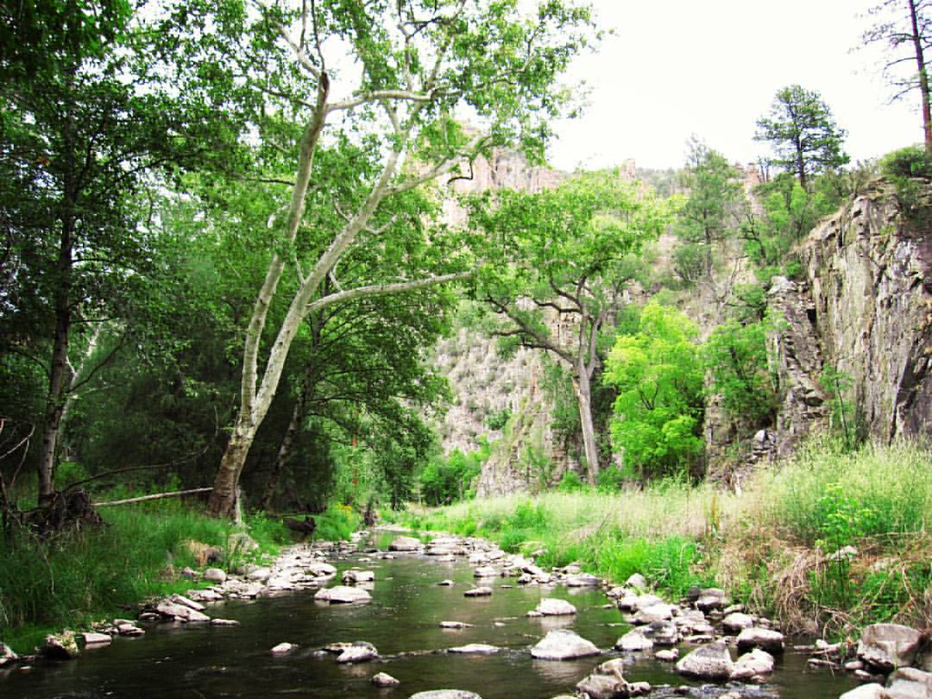
New Mexico
Free — you'll pick up right here.
1.1 mi
Distance
32 ft
Gain
We won't guess. Here is exactly what we do and don't know.
What we do know
Inside Gila National Forest
2 managing-area boundaries mapped — agency alerts for them feed this page automatically.
Boundary data
What's missing
No access route mapped
We don't yet know which road reaches this trailhead, so we can't tell you if it's gated.
Nobody's filed a report here yet — be the first.
Why you'll love it
West Fork Shortcut
Suggested plan · check conditions before you go
Source for fee, surface: USDA Forest Service National Forest System Trails (EDW); National Park Service API
West Fork Shortcut is a short out-and-back trail in New Mexico managed by the National Park Service. The route is 1.06 miles long with 238 feet of elevation gain.
Source: Roamze elevation profile and trail geometry (DEM samples along the mapped route)
Typical monthly averages (not a forecast) from the Gila Hot Springs, NM weather station, 4 mi away. High / low in °F, and days with snow.
Active alerts for Gila National Forest as of Oct 9, 2026:
Gila National Forest Occupancy and Use Prohibitions
information · posted Aug 24, 2026
Vandalism on forest defers maintenance, decreases public safety
information · posted Aug 24, 2026
Potentially Dangerous Animal Encounters
caution · posted Aug 24, 2026
Harmful algae detected in Lake Roberts
caution · posted Aug 24, 2026
Source: USFS forest alerts
Source: Roamze catalog (indexable pages within 10 miles, PostGIS distance)
Photo: cm195902, CC BY 2.0 (via Flickr)Grand Enchantment Trail
~0 min drive
0.09-mile out-and-back trail in New Mexico with 64 ft of elevation gain.
 Photo: cm195902, CC BY 2.0 (via Flickr)
Little Bear Canyon Trail #729
~1 min drive
3.95-mile out-and-back hike in Little Bear Canyon with 955 ft gain.
 Photo: Chris M Morris, CC BY 2.0 (via Wikimedia Commons)
Lilley Park
~3 min drive
50.40-mile out-and-back trail in New Mexico with 4,034 ft elevation gain.
Hells Hole Bypass
~15 min drive
1.32-mile out-and-back trail in New Mexico with 42 ft of elevation gain.
Photo: cm195902, CC BY 2.0 (via Flickr)Grand Enchantment Trail
~1 min drive
Ultra-short introductory walk in New Mexico's Grand Enchantment area.
Photo: Chris M Morris, CC BY 2.0 (via Wikimedia Commons)Ee Canyon
~2 min drive
5.66-mile out-and-back trail in New Mexico with 1,055 ft elevation gain.
Photo: Chris M Morris, CC BY 2.0 (via Wikimedia Commons)Big Bear Canyon Trail #28
~3 min drive
6.99-mile out-and-back hike in Big Bear Canyon with 1,792 ft gain.
Gila Cliff Dwelling Visitor Center Road
~2 min drive
0.57-mile out-and-back trail to Gila Cliff Dwelling Visitor Center in New Mexico.
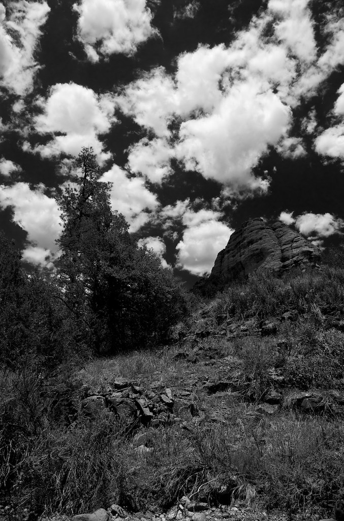 Photo: maximalideal, CC BY-SA 2.0 (via Flickr)
Cdt - Gila River Alternate
~8 min drive
2.65-mile out-and-back trail in New Mexico with 505 ft elevation gain.
Middle Fork Trail #157
~4 min drive
Middle Fork Trail #157 is a 38.73-mile out-and-back trail in New Mexico with 1,908 feet of elevation gain.
Local operatorsoffering guided trips. You book directly with them — Roamze doesn’t take a cut.
Silver City RV Park
Hiking business nearby (~31 mi away) — hasn't claimed their Roamze page yet
Burro Mountain Homestead RV Park
Hiking business nearby (~43 mi away) — hasn't claimed their Roamze page yet
